
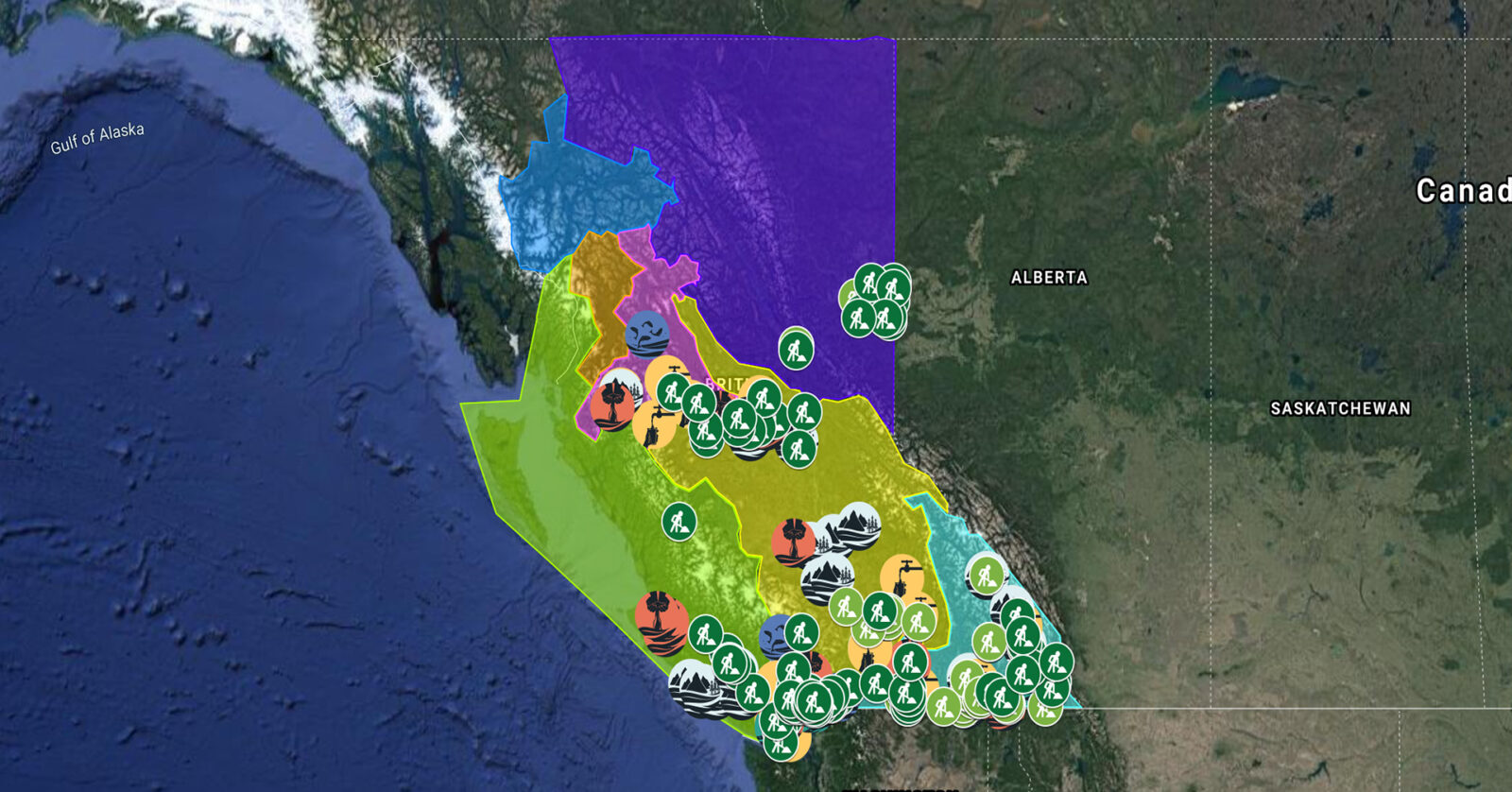
A full list of projects is now available as an interactive map, on Airtable, as a list (pdf), and as a Google Earth map file (kmz).
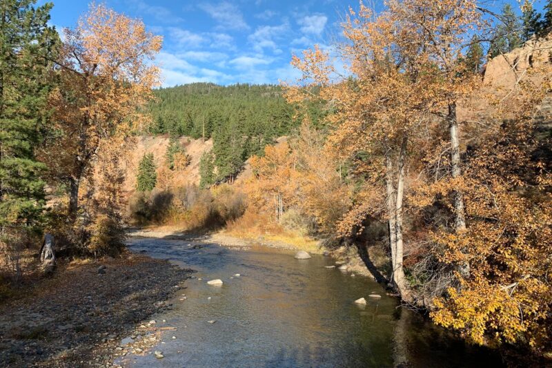
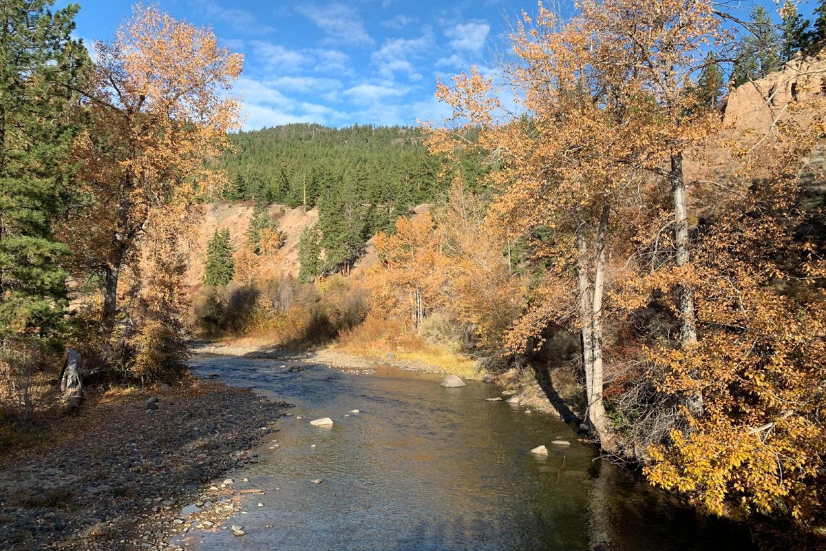
Fraser Basin Council is restoring fish habitat in the Nicola River by stabilizing sediment wedges impacted by flooding and building beaver dam analogues to moderate water flows and temperature. This project, which supports 11 jobs, complements the work underway by the Scw’exmx Tribal Council and Nicola Watershed Governance Project. (Photo: Stephanie Butler / REFBC)
View map of BC's Natural Resource District.
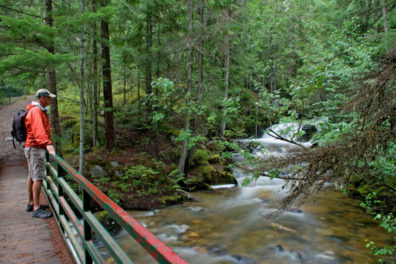
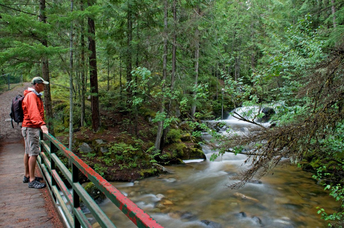
Slocan River Streamkeepers will work with local partners to restore riparian areas within the Slocan Valley. (Photo: Picture BC / Flickr)
View map of BC's Natural Resource District.
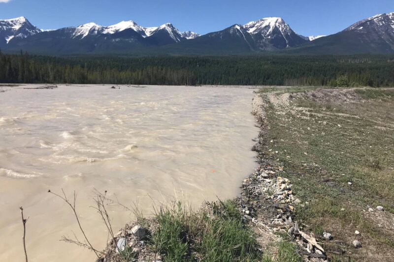
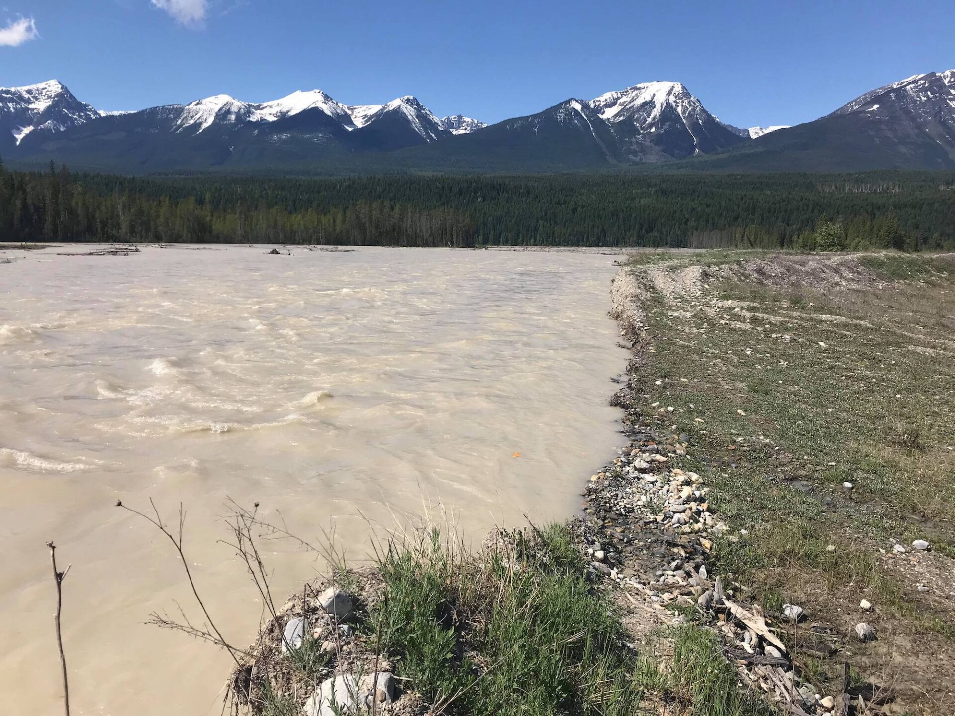
Golden District Rod and Gun Club will rehabilitate disturbed areas within the Blaeberry River watershed to promote wildlife habitat recovery. The Club will work with First Nations and conservation organizations to plan the project and undertake restoration work. This project will create at least 13 jobs. (Photo: Golden District Rod and Gun Club)
View map of BC's Natural Resource District.
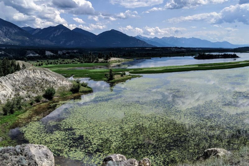
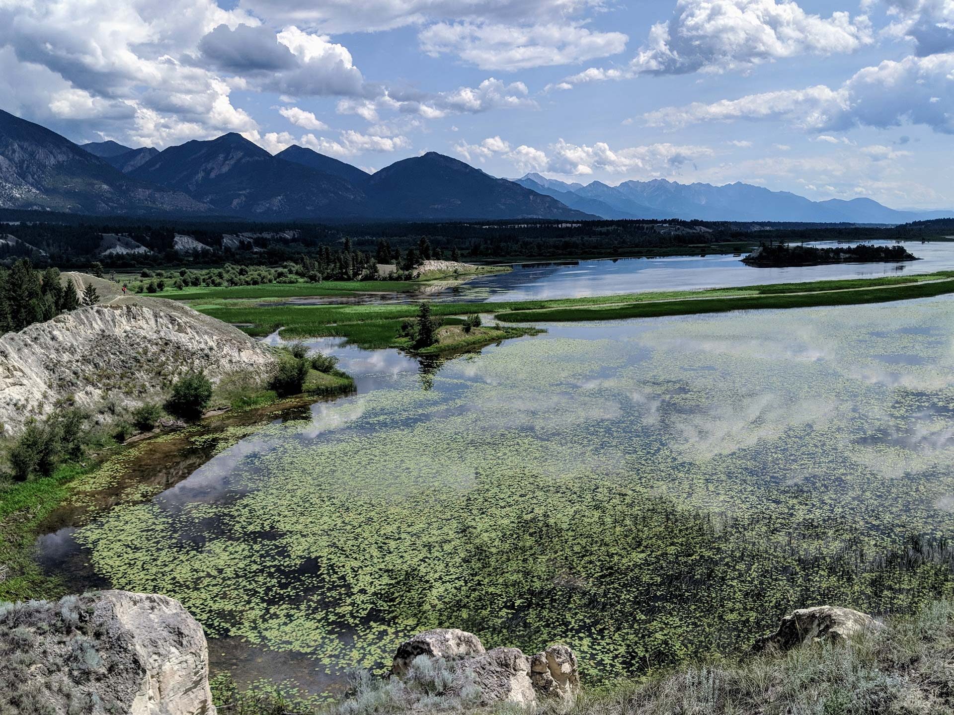
West Kootenay Community EcoSociety is working with First Nations and communities in Central Kootenay to assess natural assets and develop nature-based plans for two key watersheds. WKCES will prepare a plain language risk and opportunity analysis, and will develop an interactive map describing the current condition of the watersheds for residents who rely on them for drinking water. This project will support up to 21 jobs. (Photo: Nick Davies / REFBC)
View map of BC's Natural Resource District.
 View Details
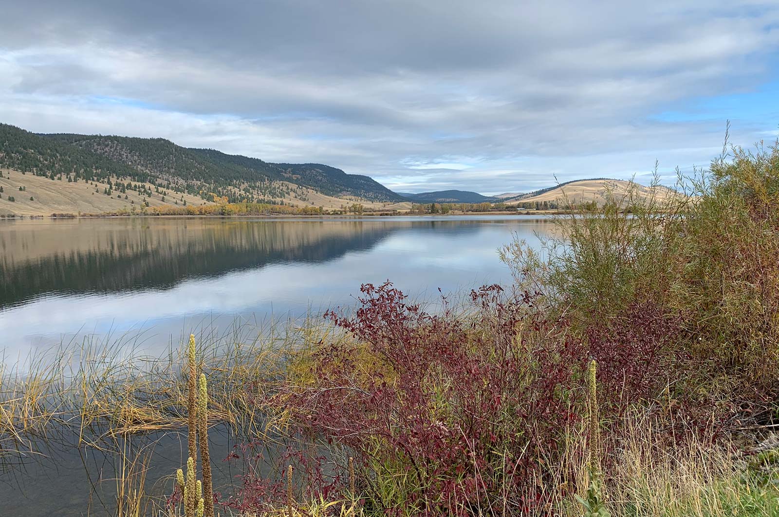
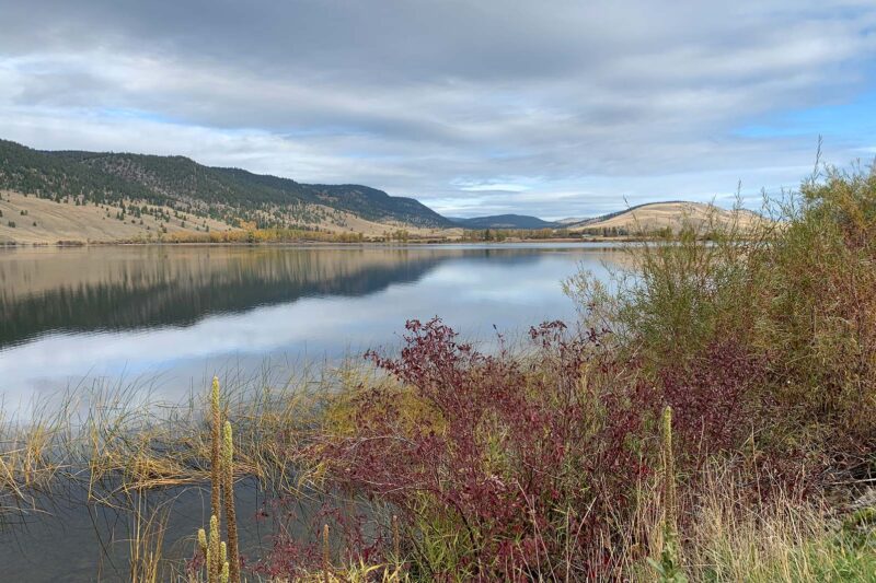
Fraser Basin Council is restoring grasslands in the Cariboo-Chilcotin region to mitigate the impacts of forest encroachment on wildlife habitat, biodiversity, and livestock grazing. This project will support at least nine jobs. (Photo: Stephanie Butler / REFBC)
View map of BC's Natural Resource District.
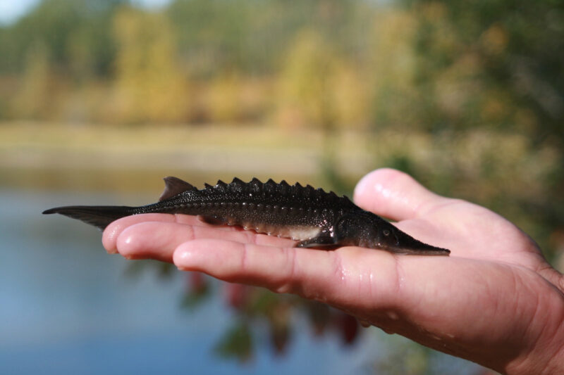
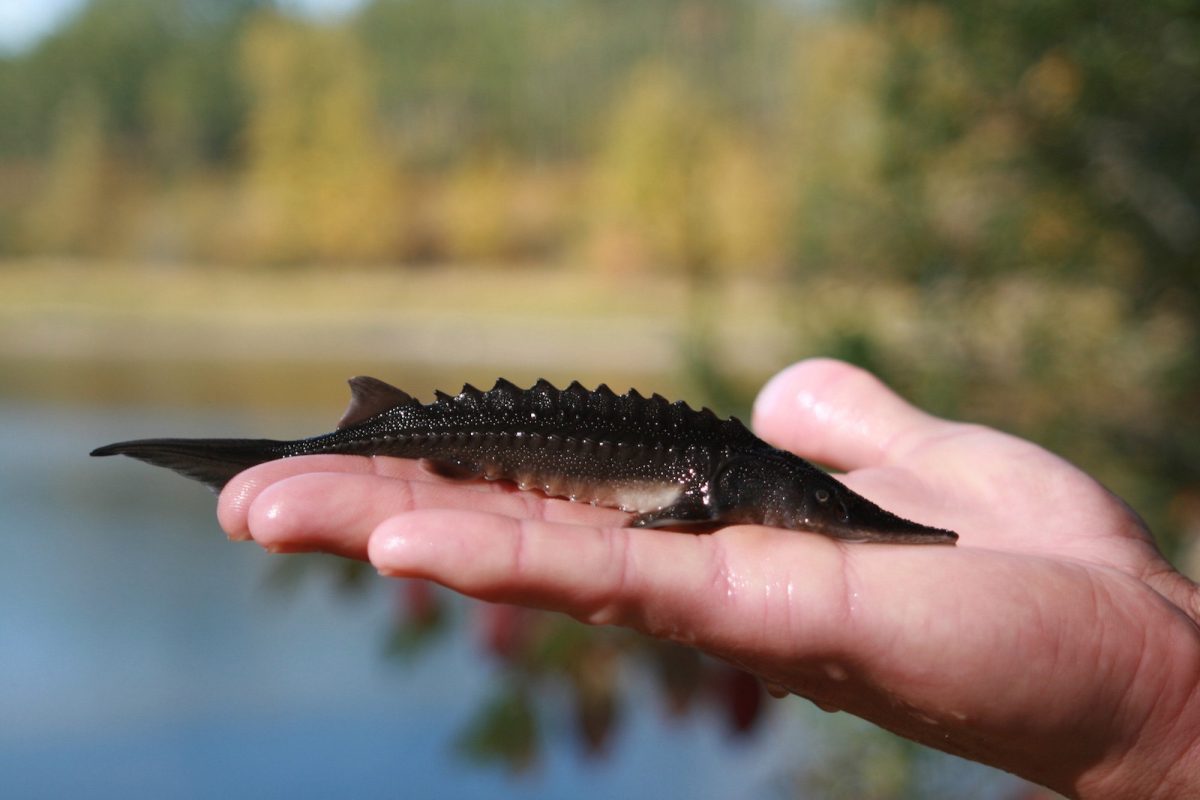
The Upper Fraser Fisheries Conservation Alliance and Carrier Sekani First Nations will work with governments and communities to build a weir on the Endako River. After constructing the weir, their team will monitor water flows and mitigate de-watering during low flows to protect the spawning habitat of important Chinook and Kokanee salmon populations. (Photo: Picture BC / Flickr)
View map of BC's Natural Resource District.
Upper Fraser Fisheries Conservation Alliance is implementing a riparian and floodplain ecosystem restoration project on the Chilako River.
View map of BC's Natural Resource District.
Upper Fraser Fisheries Conservation Alliance, in partnership with Carrier Sekani First Nations, will develop, implement, and manage a First Nations-staffed water monitoring and data management system. Once operational, the system will be used to centralize, analyze, and share up-to-date water monitoring data collected on the Endako River to support informed decision-making. This project supports 18 jobs.
View map of BC's Natural Resource District.
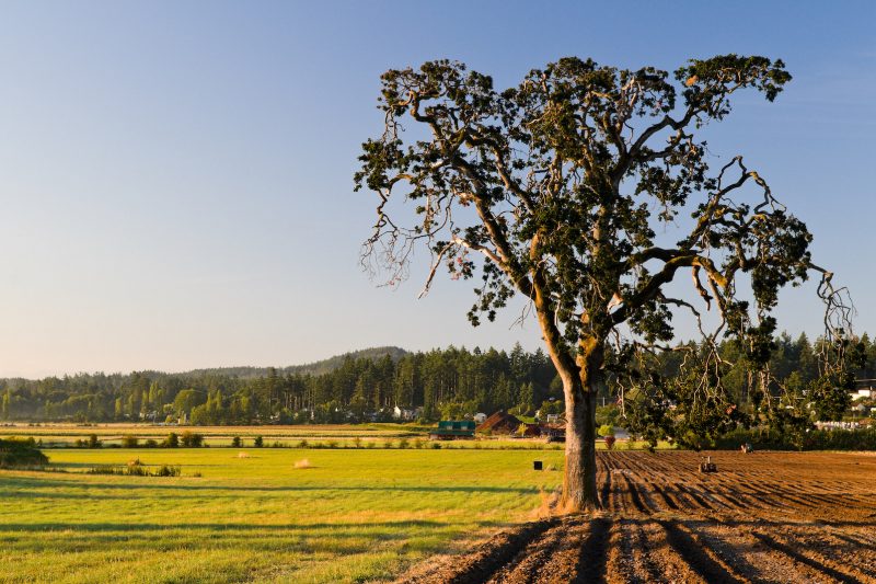
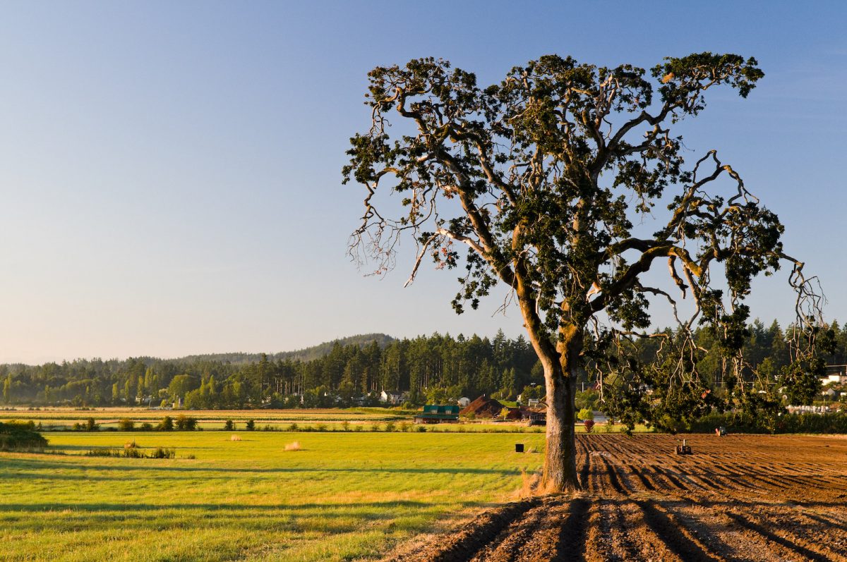
BC Investment Agriculture Foundation is working with farmers and First Nations across the province to protect and preserve critical riparian habitats on agricultural land. The Farmland Advantage program helps farmers identify natural values on their land and provides the tools needed to conserve them. This project will support up to 48 jobs. (Photo: Picture BC / Flickr)
View map of BC's Natural Resource District.
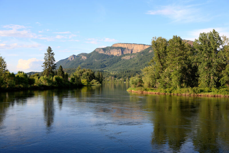
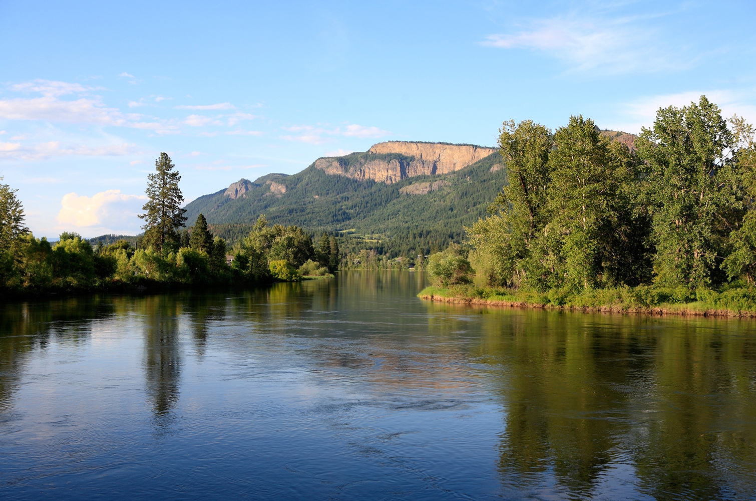
Yucwmenlúcwu (Caretakers of the Land) LLP is using sensitive habitat inventory mapping to establish baseline conditions of the Salmon River. This data will be used to further the long-term goal of reversing the historical trend pertaining to fish habitat degradation marked by lost riparian vegetation, eroding streambanks, high summer temperatures, low water levels, sediment buildup, declining salmon stocks and other issues in the Salmon River. This project supports eight jobs. (Photo: Picture BC / Flickr)
View map of BC's Natural Resource District.
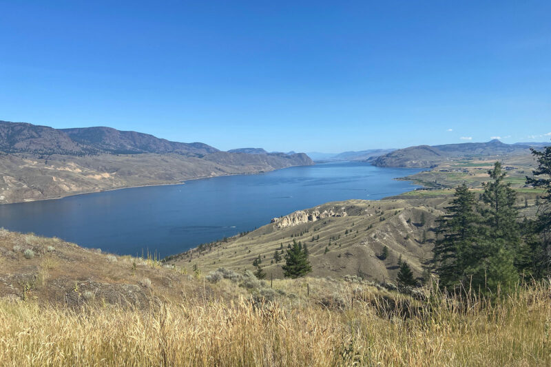
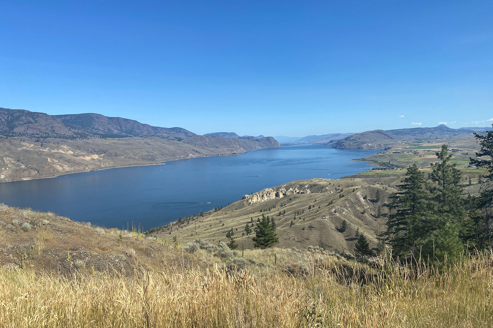
Fraser Basin Council is collaborating with farmers and ranchers to restore critical salmon and trout habitat along Horsefly River. Project activities include installing riparian and livestock fencing, stabilizing banks, constructing channels, and planting native species in riparian zones. This project supports 13 jobs. (Photo: Adarshana Thapa / REFBC)
View map of BC's Natural Resource District.


Upper Fraser Fisheries Conservation Alliance, in partnership with Carrier Sekani First Nations, will apply Yinka Dene Water Law (YDWL) to assess and implement ecosystem restoration and protection projects in the Nechako watershed. YDWL is the policy that governs water use and stewardship obligations in Nadleh Whut’en and Stellat’en territories. This project supports up to 12 jobs.
View map of BC's Natural Resource District.