
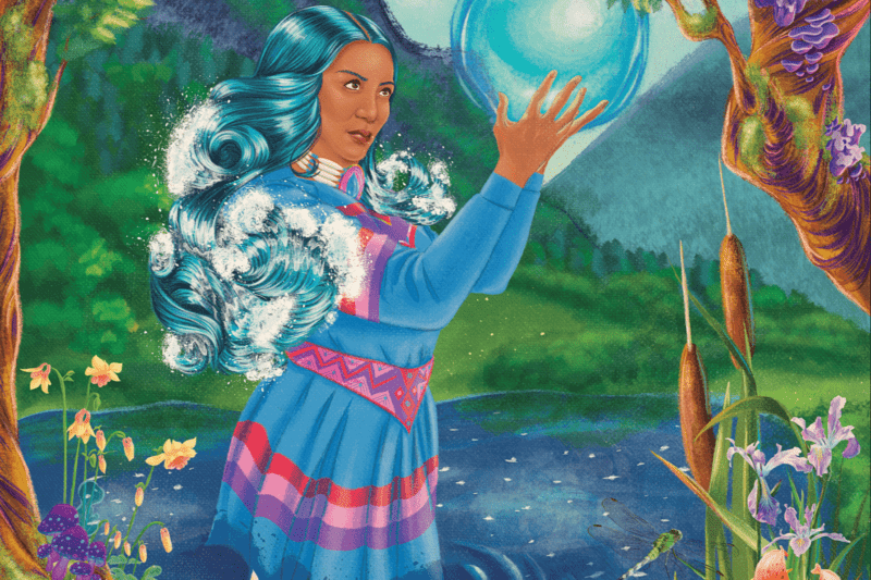

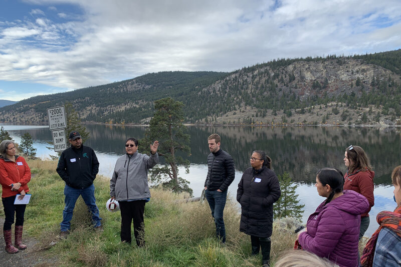
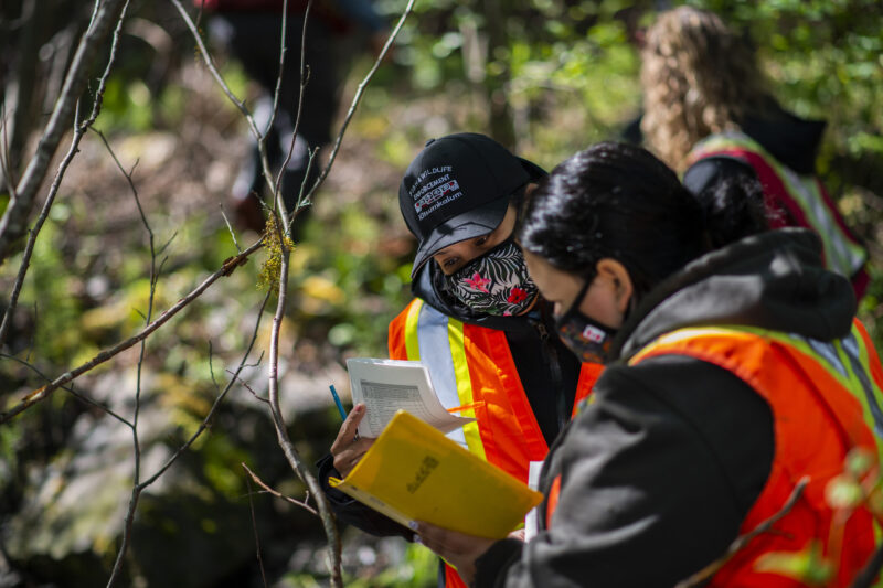
BC Freshwater Legacy Initiative, a project of Makeway, is providing tailored training, peer learning, and coaching support to Indigenous and non-Indigenous water leaders in communities that are leading on innovative approaches to watershed management, governance, and security. This project, which supports 10 jobs, will enable shared learning between organizations and regions and to advance the use of different knowledge systems in informing good watershed decision-making. (Photo: REFBC)
View map of BC's Natural Resource District.
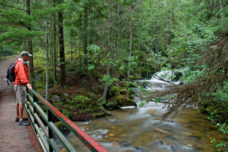
The Elk River Alliance's Community-Based Water Monitoring program will gather data to monitor Elk River tributaries that are critical habitat for wildlife. By collecting data and identifying trends in ecosystem health, the Elk River Alliance will be able to create an early warning system to identify the effects of climate change and land use decisions. This project will support the training and certification of up to 15 people. (Photo: Picture BC / Flickr)
View map of BC's Natural Resource District.

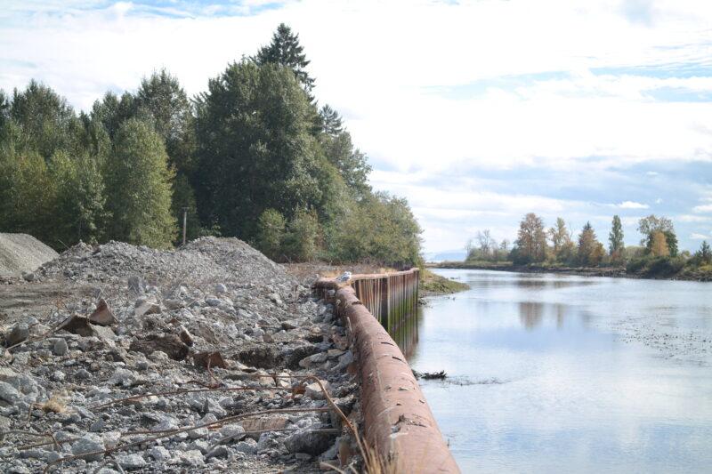
SkeenaWild Conservation Trust is restoring spawning and rearing habitat for salmon and other fish species. By breaching beaver dams that are inhibiting fish passage and water flow, this work will restore ecological integrity and hydrological function to the stream. This project supports nine jobs. (Photo: SkeenaWild Conservation Trust)
View map of BC's Natural Resource District.

Scw'exmx Tribal Council is conducting water monitoring to track agricultural effluent along the Nicola and Coldwater Rivers. Communities and decision makers will use this data to understand how water quality may be impacted by agricultural activity during the spring freshet. This project will support two jobs. (Photo: Noémi Pomerleau / REFBC)
View map of BC's Natural Resource District.