
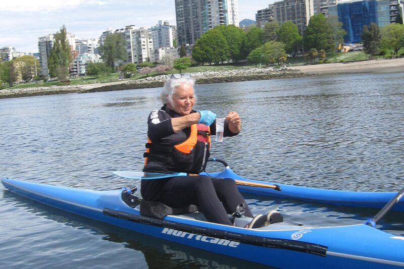
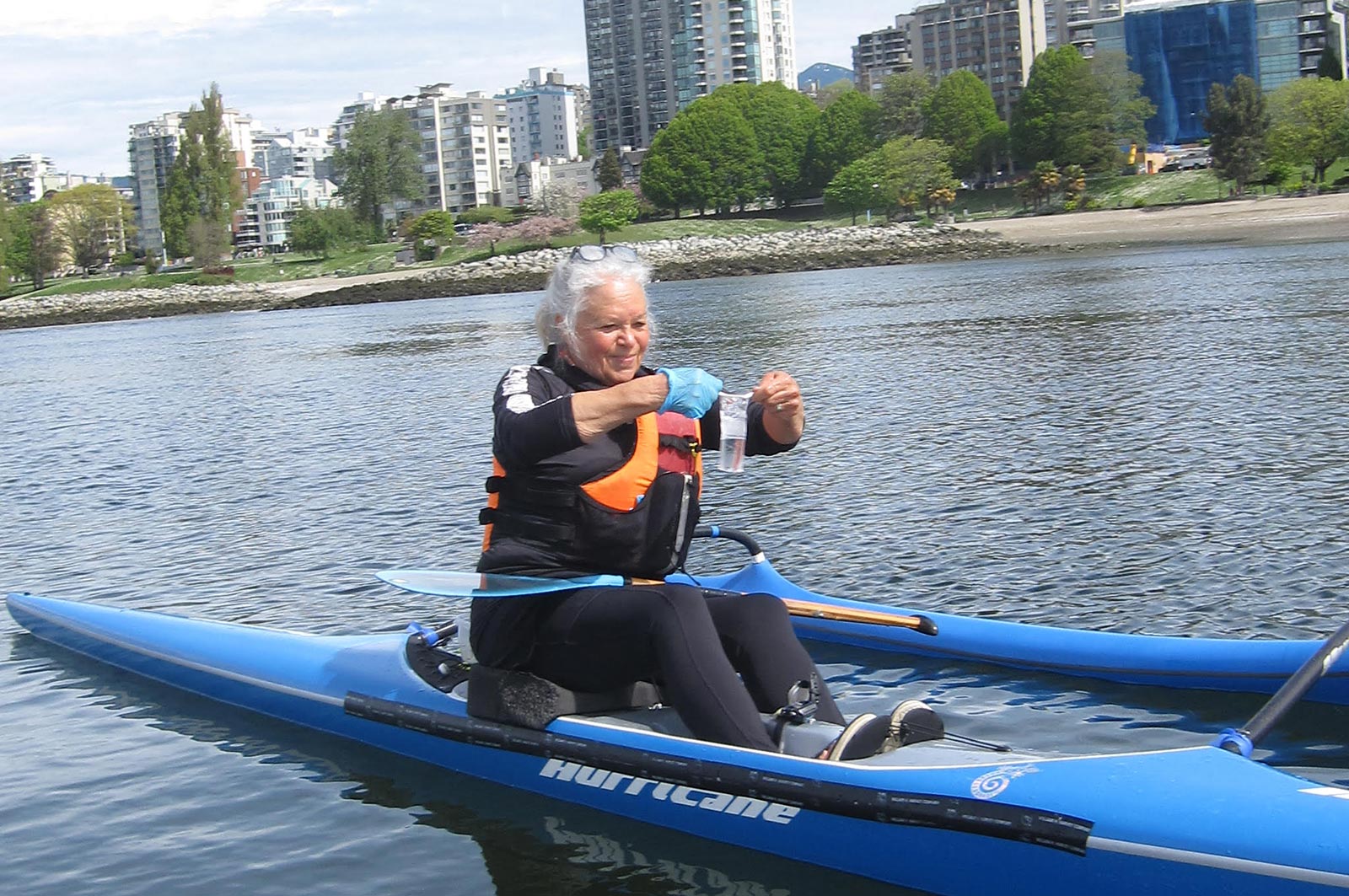
Fraser Riverkeeper Society is partnering with Sea Smart and the Boundary Bay Park Association to expand its recreational water quality monitoring program to Kitsilano Beach and Centennial Beach. Team members will train volunteers on water and environmental sample collection, assess water quality and suitability for recreational use, and share water quality data on Swim Guide. This project, which safeguards community waters and informs future restoration projects, supports five jobs. (Photo: Fraser Riverkeeper)
View map of BC's Natural Resource District.
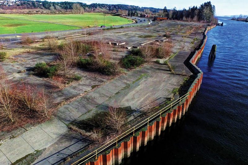
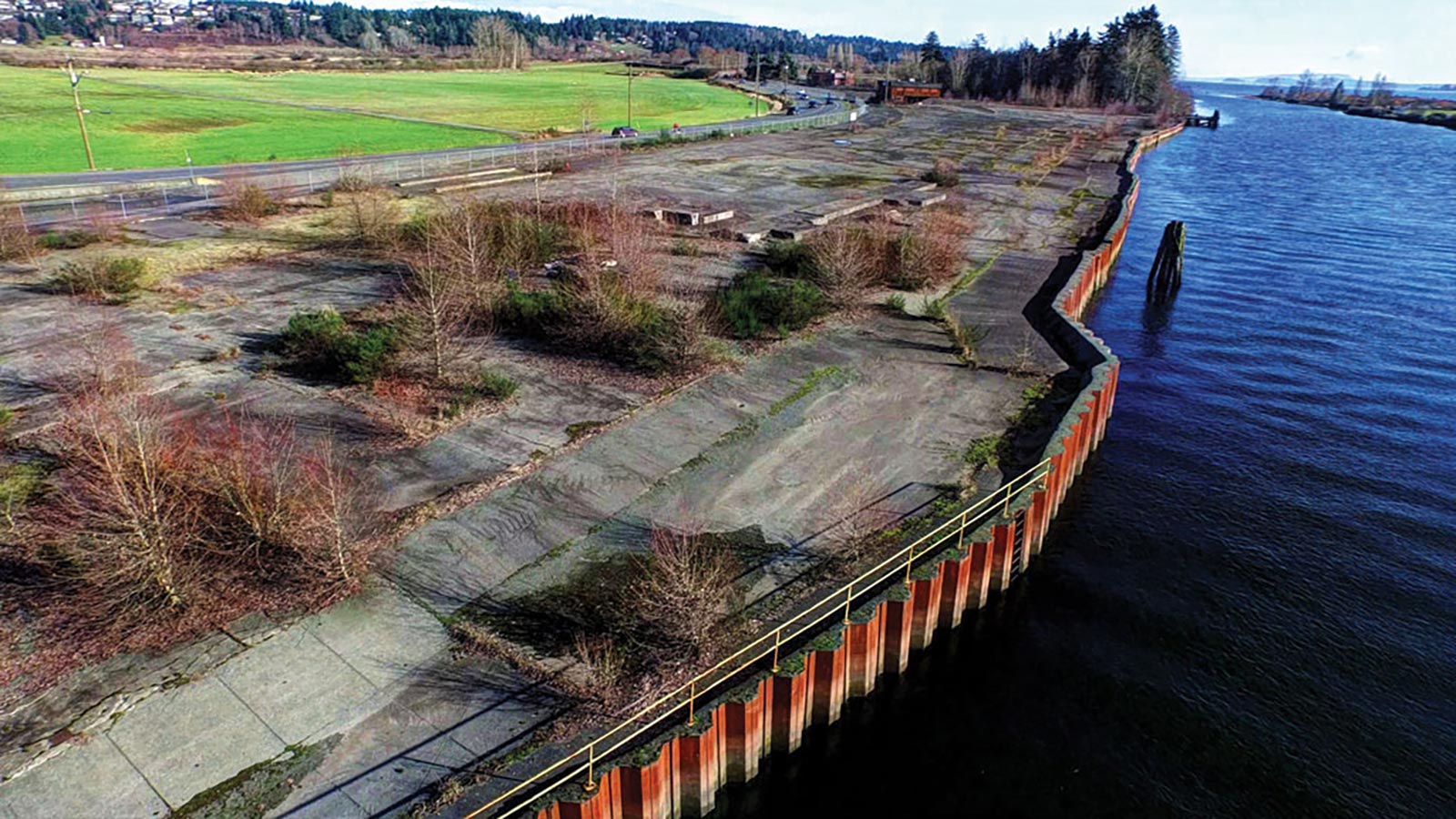
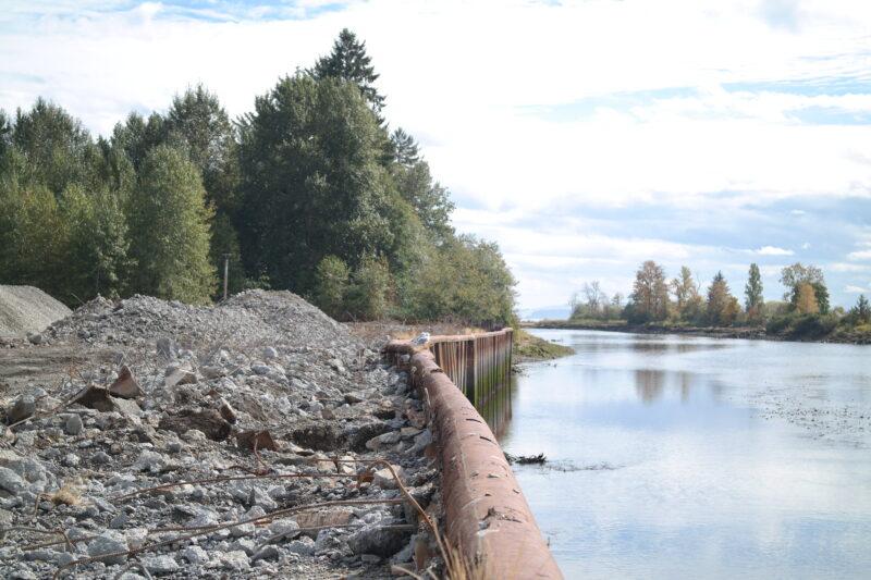
Comox Valley Project Watershed Society, in partnership with K'omoks First Nation and the City of Courtenay, is dismantling and restoring Kus-kus-sum, a former sawmill site on the Courtenay River, to its native estuary saltmarsh and riverside forest. Restoration of this site will benefit at least nine fish species, 145 bird species, and 281 plant species. The first phase of this project will support at least 40 jobs. (Photo: Rick Ward)
View map of BC's Natural Resource District.
 View Details
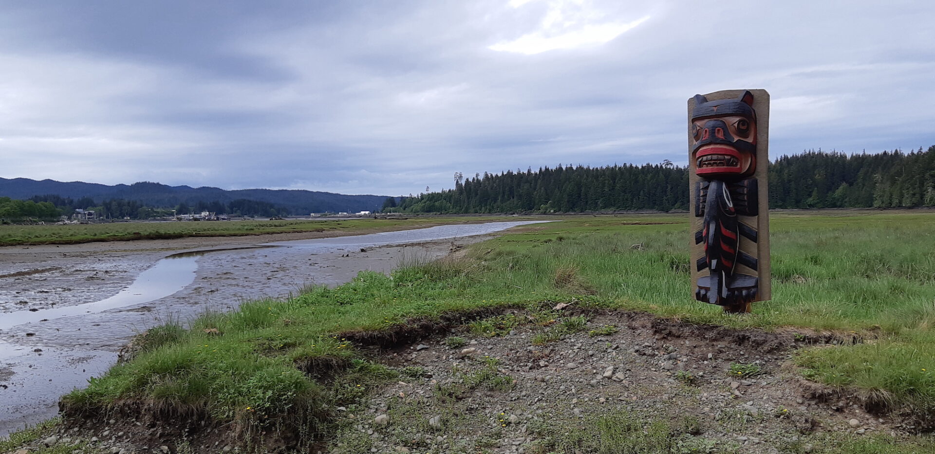
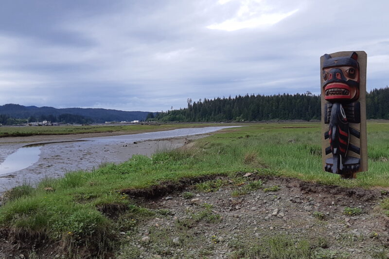
Kwakiutl First Nation, in partnership with the Nature Trust of BC and all levels of government, is restoring coastal estuarine connectivity and habitat in the Gwa'dzi River Estuary. Through activities such as creating intertidal march benches, breaching a legacy forestry road, installing a footbridge, and conducting archaeological and water monitoring, this work aims to recover over two hectares of tidal marsh and mudflat habitat. This project supports 18 jobs. (Photo: Kwakiutl First Nation)
View map of BC's Natural Resource District.
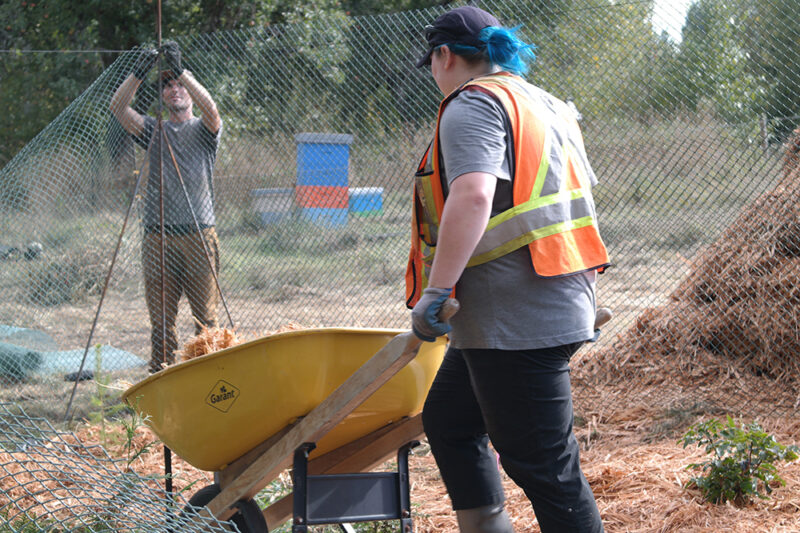
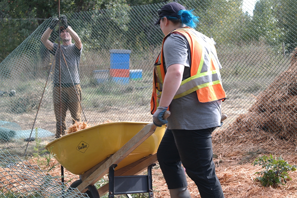
Comox Valley Project Watershed Society, in partnership with Ducks Unlimited and K'omoks First Nation, is restoring water quality and spawning channels in the Glen Urquhart Creek watershed, a critical wetland and habitat. This project, which supports 12 jobs, involves installing in-stream habitat features, reconnecting catchments to the wetland, and removing invasive species. (Photo: Claire Sauvage-Mar / WatershedsBC)
View map of BC's Natural Resource District.