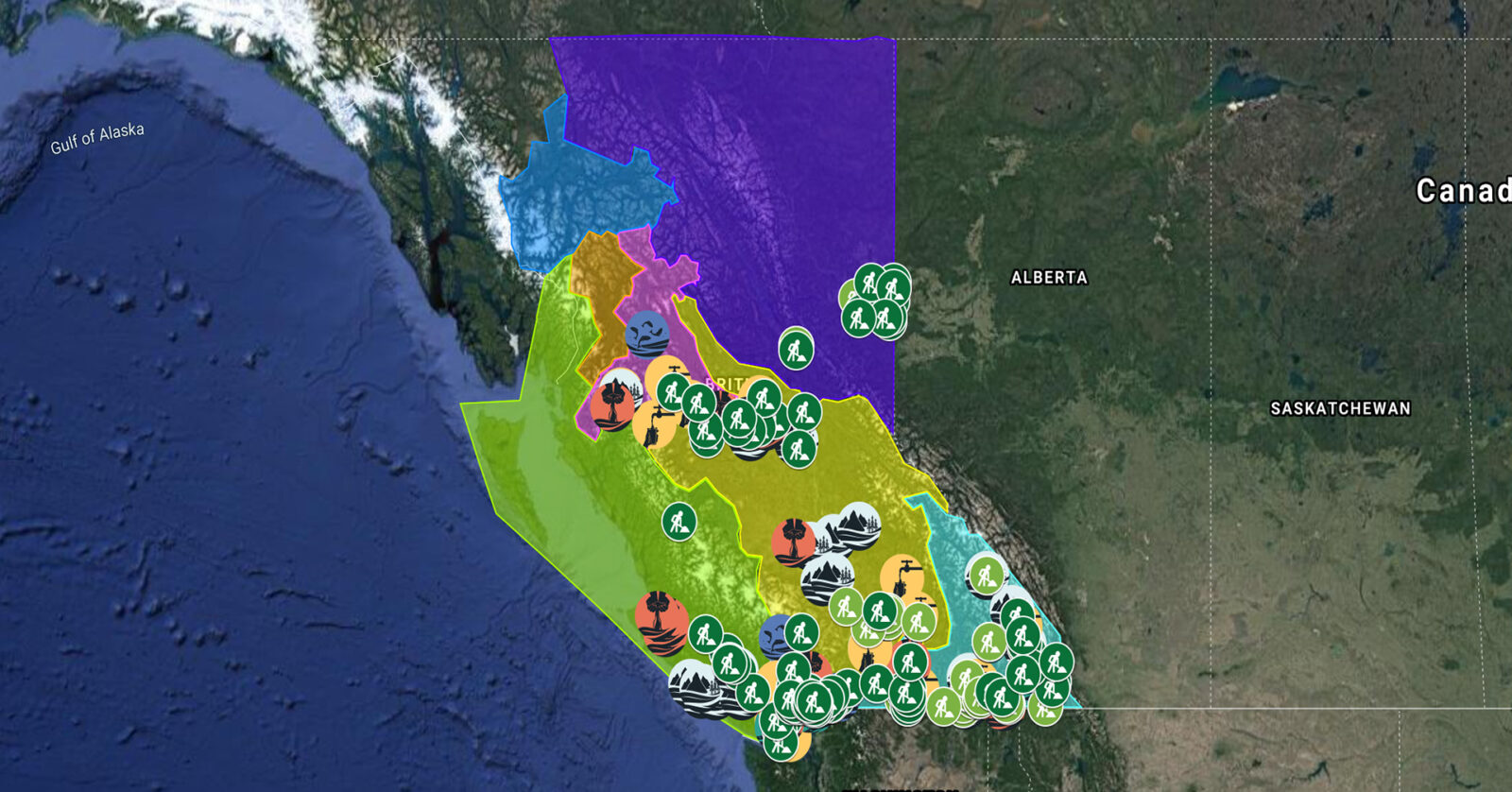
A full list of projects is now available as an interactive map, on Airtable, as a list (pdf), and as a Google Earth map file (kmz).

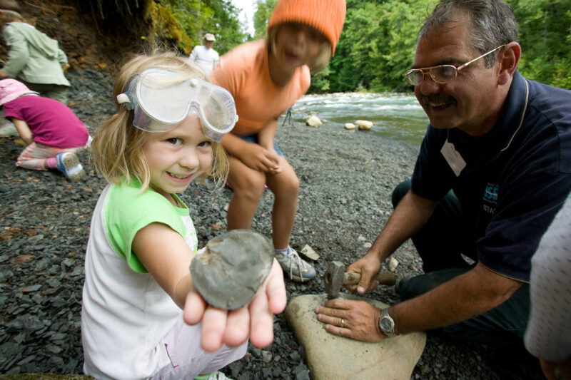
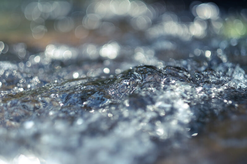
SkeenaWild Conservation Trust is restoring spawning and rearing habitat for salmon and other fish species. By breaching beaver dams that are inhibiting fish passage and water flow, this work will restore ecological integrity and hydrological function to the stream. This project supports nine jobs. (Photo: SkeenaWild Conservation Trust)
View map of BC's Natural Resource District.
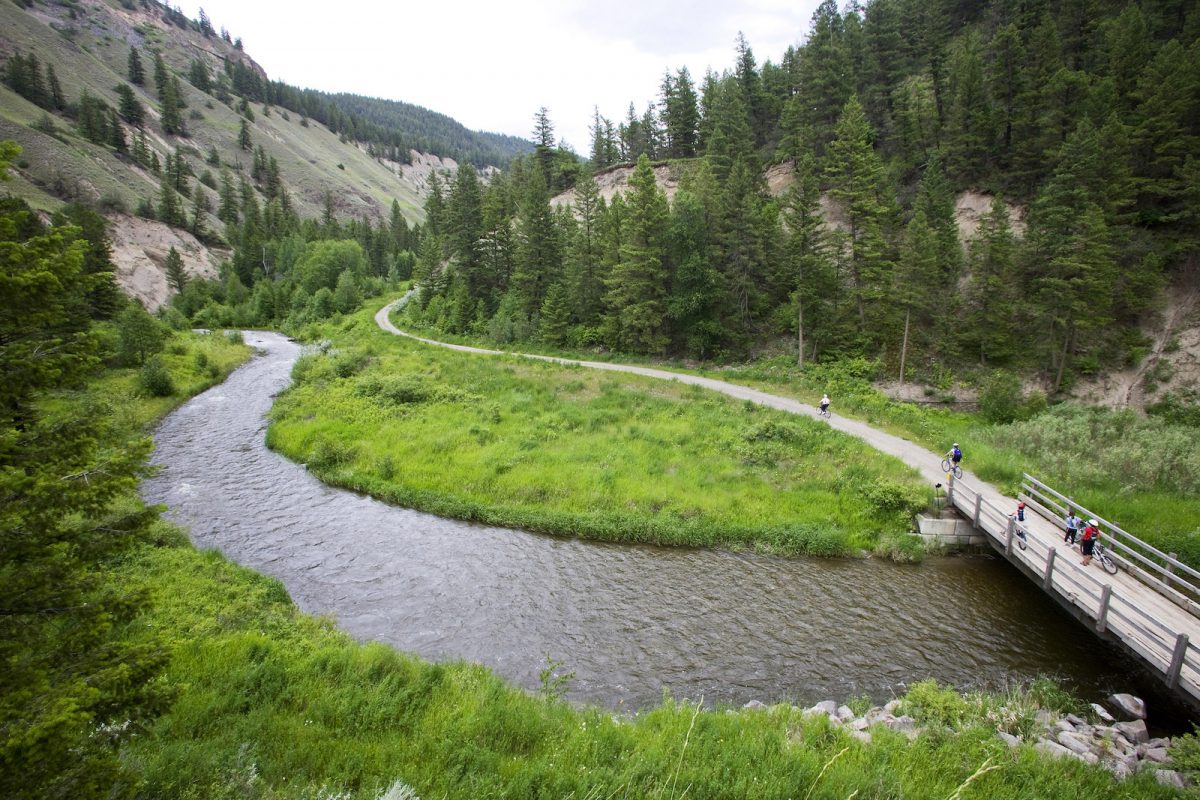
Squamish River Watershed Society, in partnership with Squamish Nation and Fisheries and Oceans Canada, is continuing work on restoring fish passage and access to over 300 hectares of habitat in the Squamish estuary. This project focuses on modifying the lower section of the training berm and installing flow control structures. This project supports 26 jobs. (Photo: Adarshana Thapa / REFBC)
View map of BC's Natural Resource District.
The Skeena Knowledge Trust is expanding access to the Skeena Salmon Data Centre so that watershed conservation organizations within the Skeena can address distinct land management issues within those watersheds. (Photo: Skeena Knowledge Trust)
View map of BC's Natural Resource District.

School District No. 91 (Nechako Lakes) is expanding its experiential summer conservation employment program between UNBC and Ft. St. James Secondary School to employ and train two students in a range of salmon conservation, restoration, and monitoring initiatives being led by the Upper Fraser Fisheries Conservation Alliance, Nechako Environment and Water Stewardship Society, Mid and Upper-Fraser Salmon Conservation Collaborative, and BC Parks. The students will participate in short-term work at multiple sites in the Nechako Watershed, including Nahounli Creek, and will assist with establishing at least one long-term ecological monitoring project in Mt. Pope Provincial Park. This project supports four jobs. (Photo: Picture BC / Flickr)
View map of BC's Natural Resource District.
The Elk River Alliance's Community-Based Water Monitoring program will gather data to monitor Elk River tributaries that are critical habitat for wildlife. By collecting data and identifying trends in ecosystem health, the Elk River Alliance will be able to create an early warning system to identify the effects of climate change and land use decisions. This project will support the training and certification of up to 15 people. (Photo: Picture BC / Flickr)
View map of BC's Natural Resource District.

Rivershed Society of BC is piloting the development of a foodland corridor that restores sustainable food systems throughout the Fraser watershed. This project is being implemented in partnership with local First Nations, farmers, and ranchers. (Photo: Nerv Productions)
View map of BC's Natural Resource District.

Comox Valley Project Watershed Society, in partnership with Ducks Unlimited and K'omoks First Nation, is restoring water quality and spawning channels in the Glen Urquhart Creek watershed, a critical wetland and habitat. This project, which supports 12 jobs, involves installing in-stream habitat features, reconnecting catchments to the wetland, and removing invasive species. (Photo: Claire Sauvage-Mar / WatershedsBC)
View map of BC's Natural Resource District.

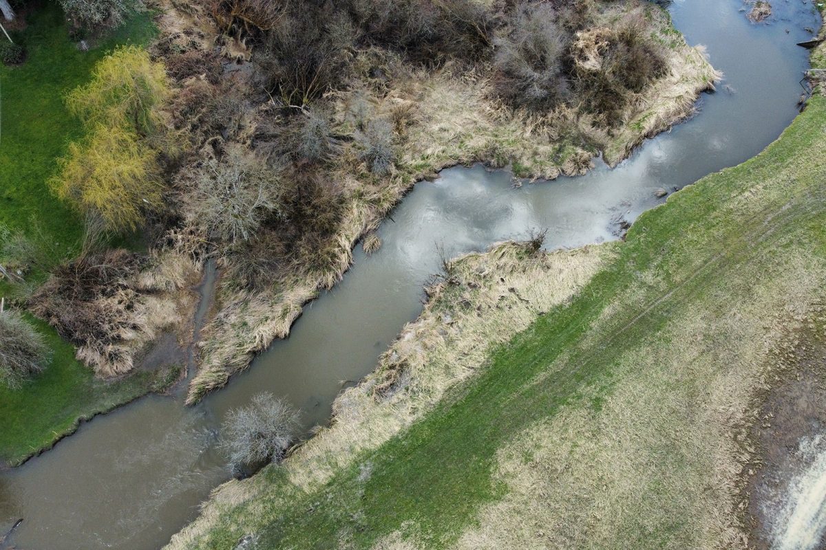
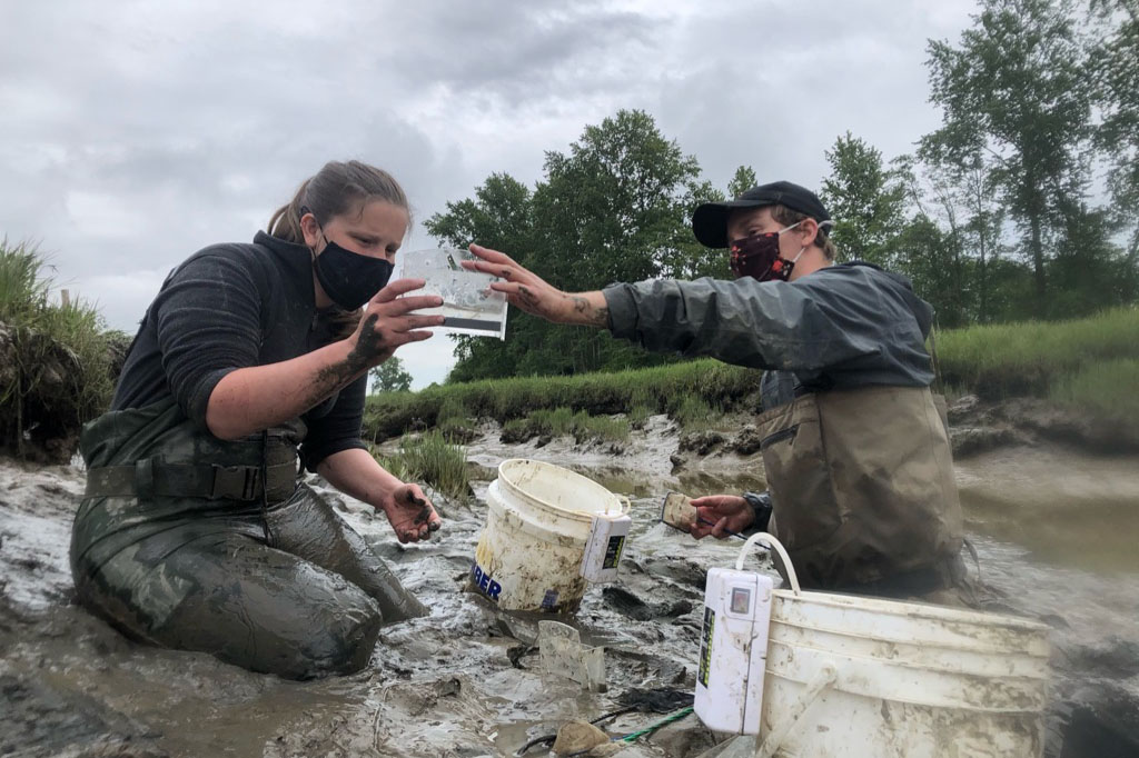
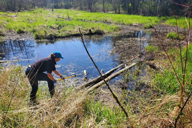
Living Lakes Canada partnered with the Columbia Wetlands Stewardship Partners to conduct site investigations on select wetlands in the Upper Columbia River and adjacent Columbia Wetlands to identify vulnerable areas in need of restoration work. Activities included analyzing shallow groundwater levels, collecting morphologic and meteorological data, surveying beaver abundance, and wetlands water level and temperature monitoring at over 40 sites. This project supports six jobs. (Photo: Living Lakes Canada)
View map of BC's Natural Resource District.

Central Westcoast Forestry Society is supporting Hesquiaht, Ahousaht, and Tla-o-qui-aht First Nations’ initiative to restore critical salmon populations in the Clayoquot Sound by reconstructing rearing habitat. The work involves implementing bioengineering approaches (woody debris structures, riparian planting) to stabilize banks, reduce erosion, and create habitats supportive of migrating salmon. This project will support at least 25 jobs and provide technical training and certification to workers. (Photo: Lora Tyron)
View map of BC's Natural Resource District.
A Rocha Canada is partnering with Semiahmoo First Nation on work towards a long-term goal of restoring water quality in Boundary Bay so the Nation can resume the harvest of shellfish. Activities include identifying contamination sources through water monitoring, convening a roundtable, and developing a water quality action plan. This project supports six jobs. (Photo: A Rocha)
View map of BC's Natural Resource District.

Ducks Unlimited is completing planning and evaluation to restore marsh habitat in Alaksen National Wildlife Area, part of the Fraser River Delta. Planning includes stakeholder engagement on draft project concept, archaeological impact assessment, salmon monitoring, and invasive plant management. This project will support four jobs. (Photo: Ducks Unlimited)
View map of BC's Natural Resource District.
Northwest Research and Monitoring Ltd. is partnering with the Morice Watershed Monitoring Trust and the Office of the Wet'suwet'en to complete the first phase of a multi-year riparian restoration project in the Upper Bulkley and Upper Morice basins. This phase of the project supports 28 jobs, and focuses on project planning, technical training, and streamside planting. (Photo: Northwest Research & Monitoring)
View map of BC's Natural Resource District.
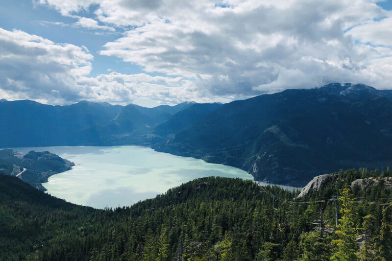
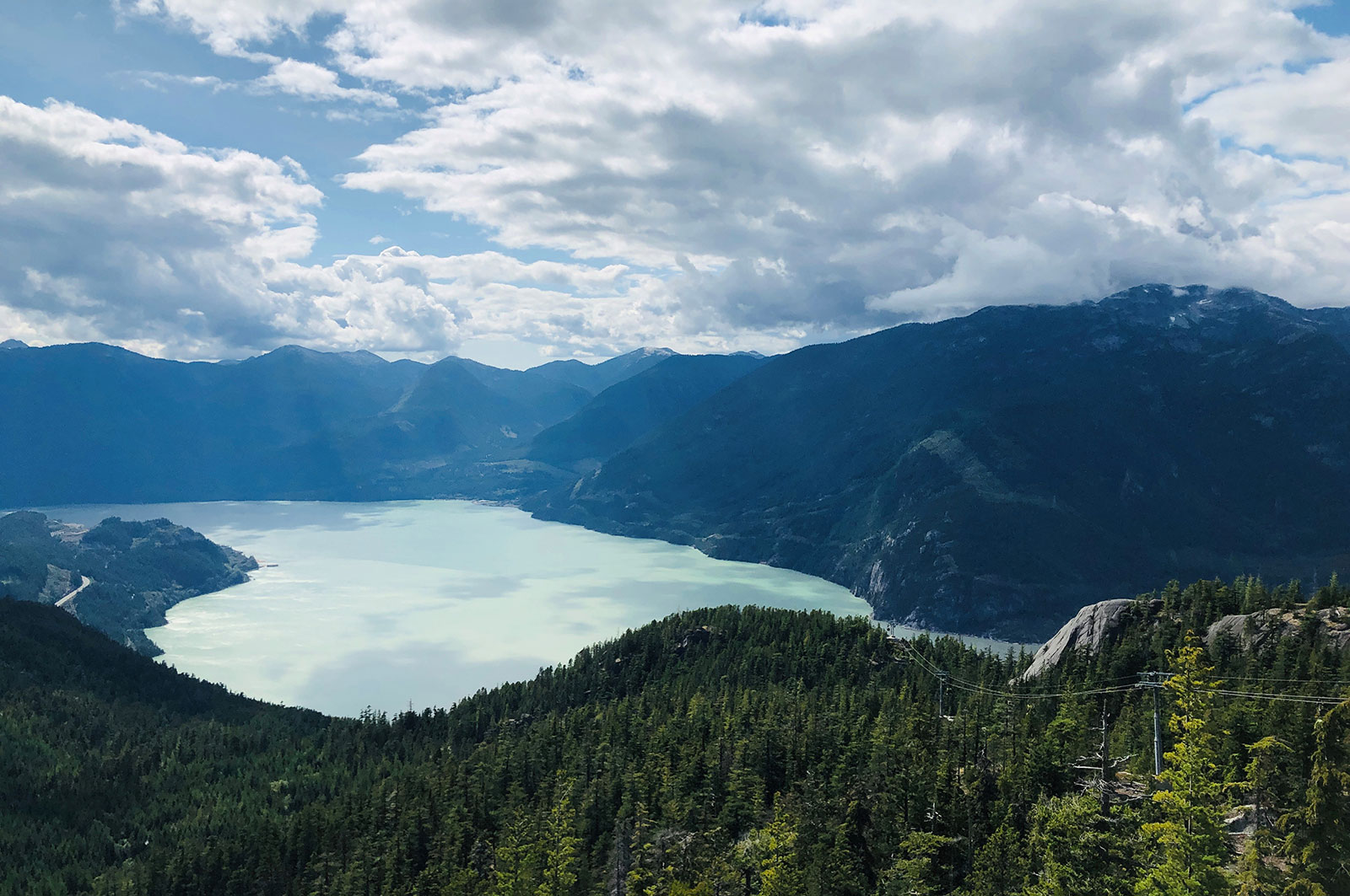
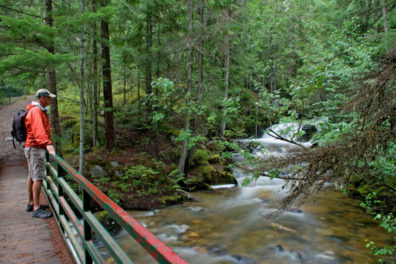
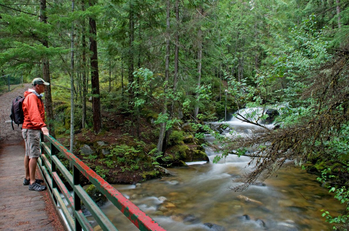
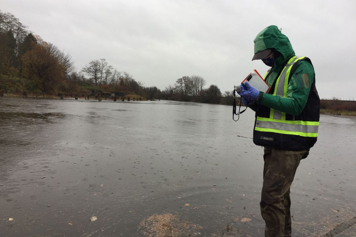
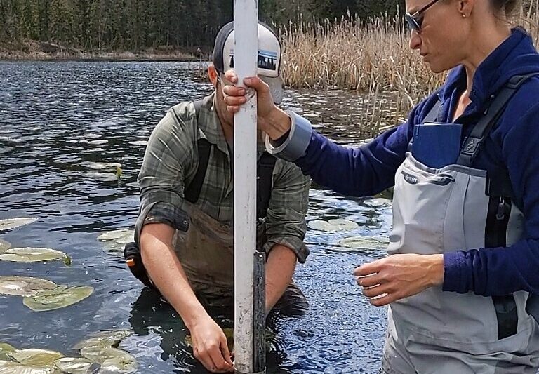
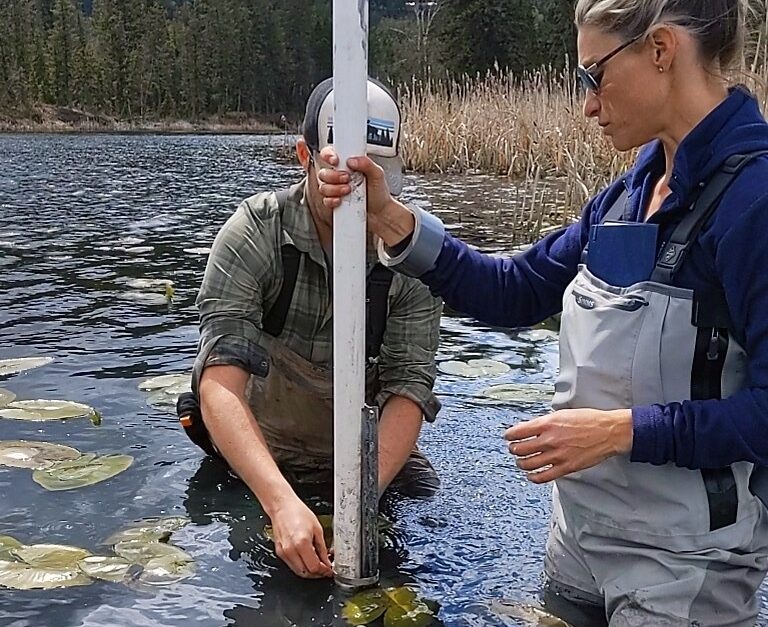
Squamish River Watershed Society is conducting water flow monitoring to ensure that communities, fisheries, First Nations, and other regional decision makers have access to data on appropriate minimum flow for an upcoming water use plan in the Squamish/Cheakamus watershed. This project will support three jobs. (Photo: Adarshana Thapa / REFBC)
View map of BC's Natural Resource District.
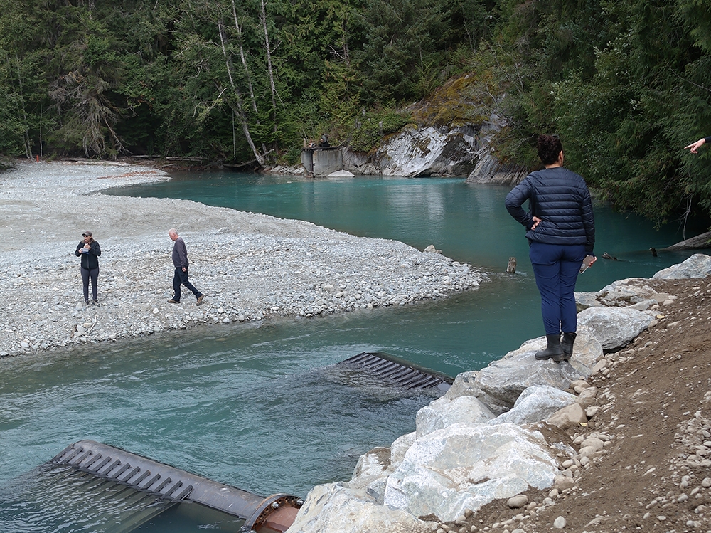
Squamish River Watershed Society, in partnership with Squamish Nation and Fisheries and Oceans Canada, is continuing efforts to restore anadromous passage to spawning grounds in the upper Elaho River. This work involves removing any additional obstructions at previously cleared sites and implementing innovative monitoring techniques to assess impact. This phase of the project supports five jobs. (Photo: Adarshana Thapa / REFBC)
View map of BC's Natural Resource District.

Elk River Alliance is implementing stormwater treatment practices to preserve wetland and riparian areas in the Elk Valley. This project, which uses a combination of stewardship activities and public education, will support up to three jobs. (Photo: Andy Fitzsimon / Unsplash)
View map of BC's Natural Resource District.
 View Details
Ducks Unlimited is collaborating with ranch owners and First Nations to rebuild interconnected wetland habitats at 148 Mile Marshes. This project will update aging water control infrastructure and will support 13 jobs. (Photo: Picture BC / Flickr)
View map of BC's Natural Resource District.
 View Details

BC Wildlife Federation is collaborating with First Nations and conservation organizations to restore, stabilize, and monitor BC's wetlands. These activities will improve wetland inventories, management, and decision-making. This project will support over 100 jobs and will provide training for workers in Wetlands Ecosystem Enhancement Protocol and Wetland Inventory. (Photo: Langley Environmental Partners Society)
View map of BC's Natural Resource District.

BC Wildlife Federation is restoring amphibian habitat in wetlands and riparian areas that have been impacted by cattle grazing. This project will support up to 11 jobs. (Photo: Picture BC / Flickr)
View map of BC's Natural Resource District.
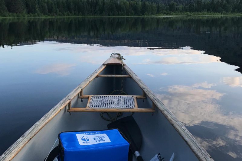
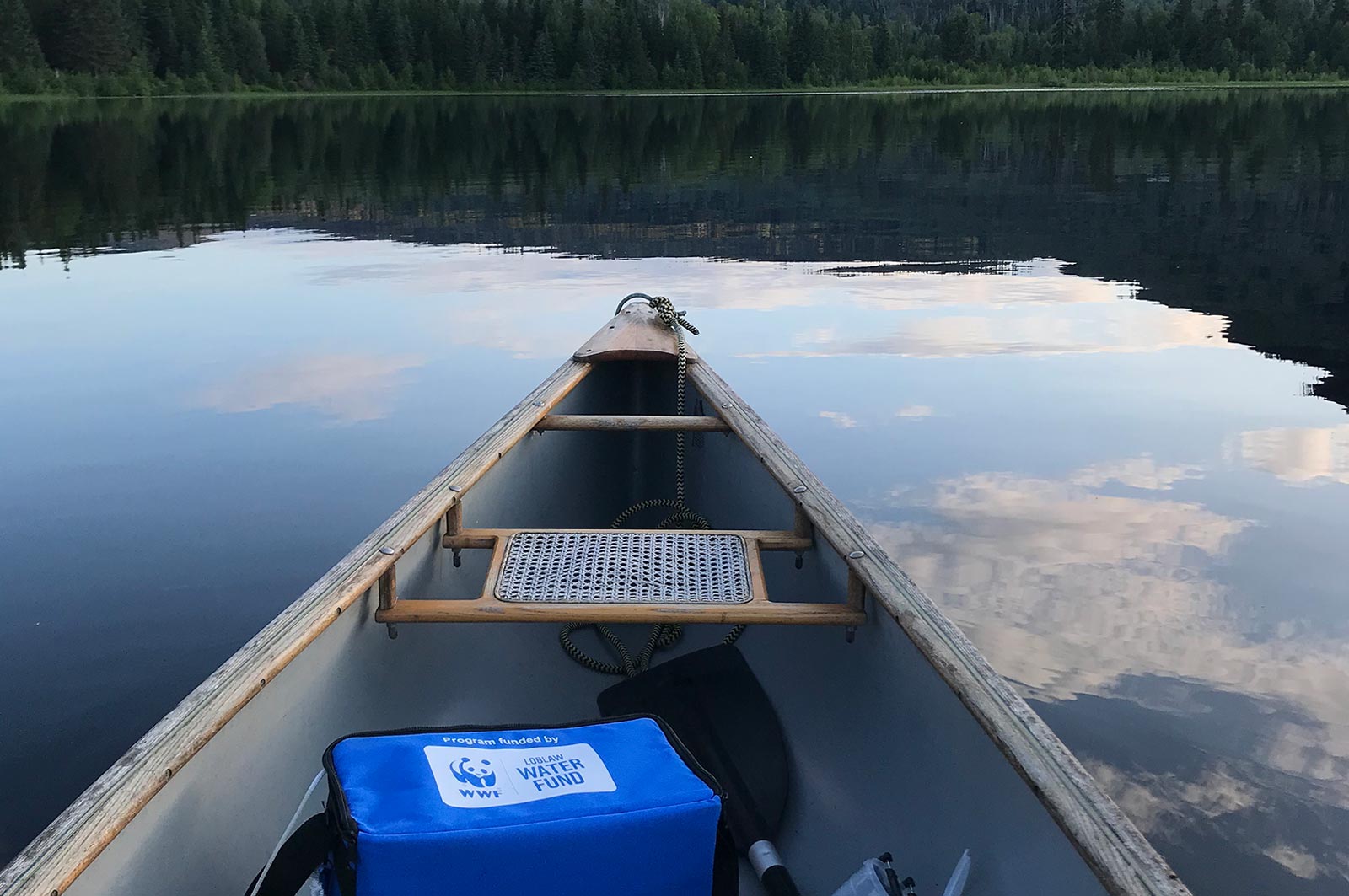
The purpose of this project is to ensure that Indigenous and non-Indigenous communities and decision-makers in the Upper Canadian Columbia Basin will have the necessary knowledge, skills and tools to adapt and mitigate climate change impacts by better understanding water resources in their respective communities. The understanding of diminished water supply, drought and flood events assist decisions impacting community and ecosystem resilience as well as for the food security, ecosystem health and economic vitality of these communities. This project will help transition towards a green economy by training indigenous and non indigenous youth, and people displaced or transitioning from other impacted sectors. See the Project Map for locations and details of the work supported by this project. This project will support 25 jobs and training. (Photo: Living Lakes Canada)
View map of BC's Natural Resource District.

Stqeeye' Learning Society is blending traditional stewardship knowledge and historical data to reclaim and maintain ecosystems around Xwaaqw'um Village (Burgoyne Bay Provincial Park). By engaging and educating community members, particularly Indigenous youth, this project will apply traditional knowledge through cultural practices that honour the interconnectedness of ecosystems. This project will support eight jobs. (Photo: Stqeeye’ Learning Society)
View map of BC's Natural Resource District.

Fraser Riverkeeper Society is partnering with Sea Smart and the Boundary Bay Park Association to expand its recreational water quality monitoring program to Kitsilano Beach and Centennial Beach. Team members will train volunteers on water and environmental sample collection, assess water quality and suitability for recreational use, and share water quality data on Swim Guide. This project, which safeguards community waters and informs future restoration projects, supports five jobs. (Photo: Fraser Riverkeeper)
View map of BC's Natural Resource District.
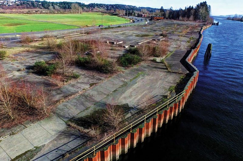
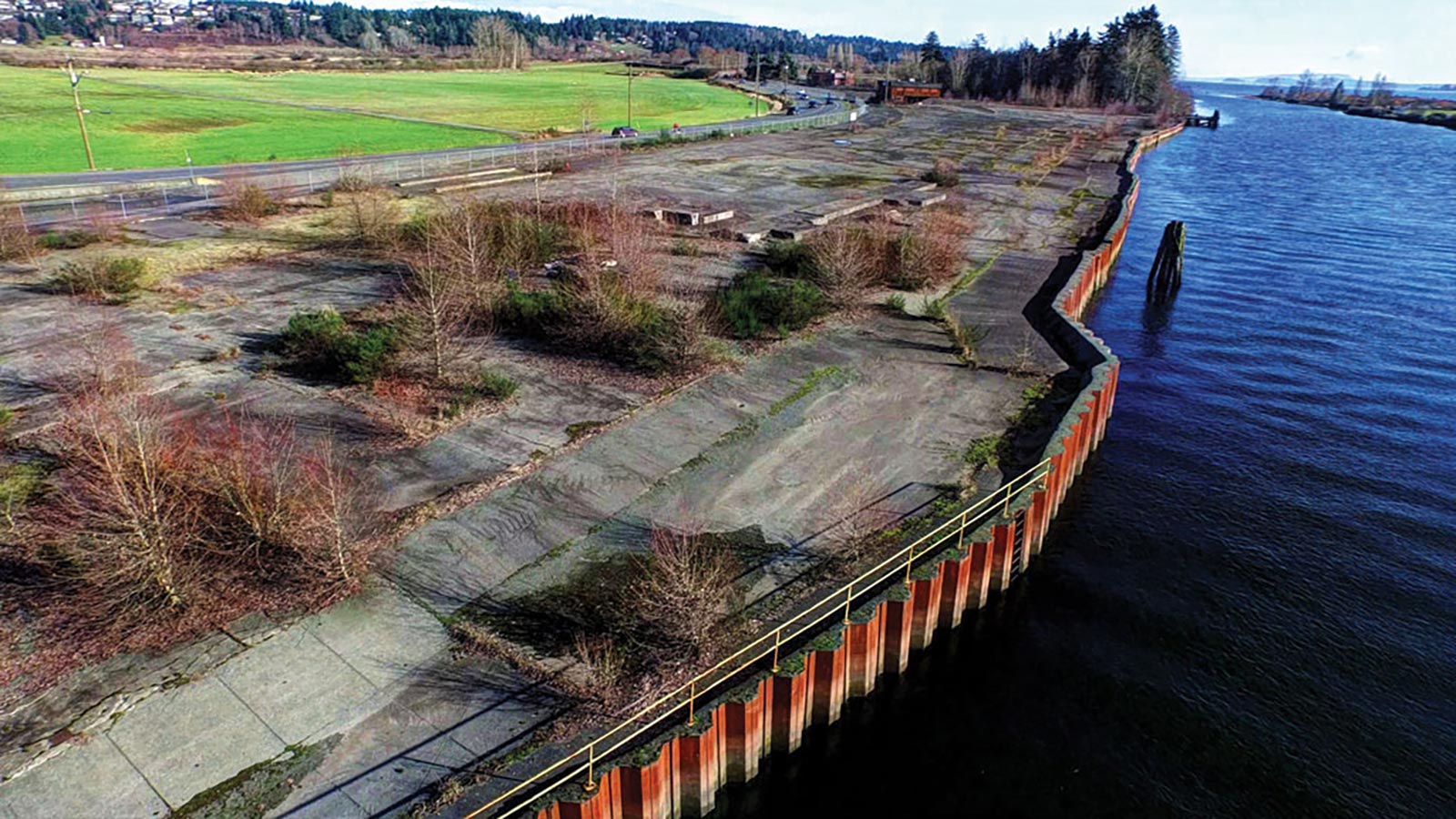
Comox Valley Project Watershed Society, in partnership with K'omoks First Nation and the City of Courtenay, is dismantling and restoring Kus-kus-sum, a former sawmill site on the Courtenay River, to its native estuary saltmarsh and riverside forest. Restoration of this site will benefit at least nine fish species, 145 bird species, and 281 plant species. The first phase of this project will support at least 40 jobs. (Photo: Rick Ward)
View map of BC's Natural Resource District.

Discovery Coast Greenways Land Trust is collaborating with the Wei Wai Kum Coastal Guardian Watchmen program, 7 Generations Stewards Society, and AIDS Vancouver Island to restore and protect riparian areas around Campbell River that have been impacted by increased human use during the pandemic. This project supports up to 28 jobs. (Photo: Discovery Coast Greenways Land Trust)
View map of BC's Natural Resource District.
World Wildlife Fund Canada is supporting Katzie First Nation in the next phase of restoration work on four critical salmon habitats in the Upper Pitt watershed. This work includes installing intakes, creating new channels for smolt habitat, reconnecting historical hydrological systems, and constructing bio-berms to protect spawning habitat. This project supports 28 jobs. (Photo: Claire Sauvage-Mar / WatershedsBC)
View map of BC's Natural Resource District.
SkeenaWild Conservation Trust is conducting riparian restoration surveys on four fish-bearing streams north of Terrace: Willow Creek, Spring Creek, Lean-To Creek, and Deep Creek. These surveys will identify priority areas for future restoration work and provide a baseline for future monitoring of stream characteristics. This project supports four jobs. (Photo: Picture BC / Flickr)
View map of BC's Natural Resource District.