
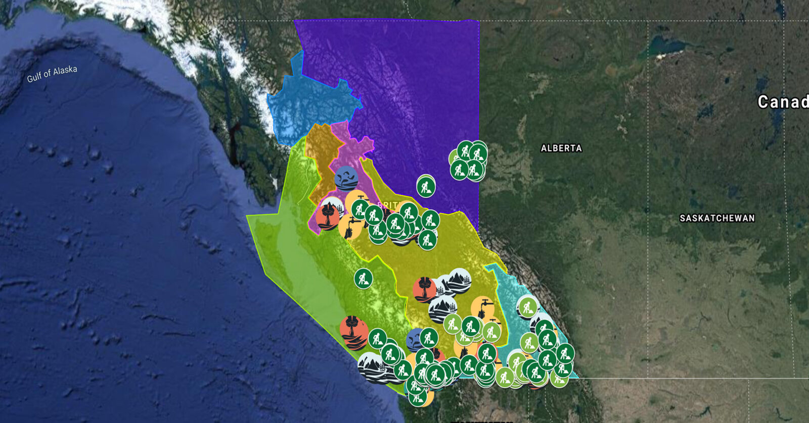
A full list of projects is now available as an interactive map, on Airtable, as a list (pdf), and as a Google Earth map file (kmz).
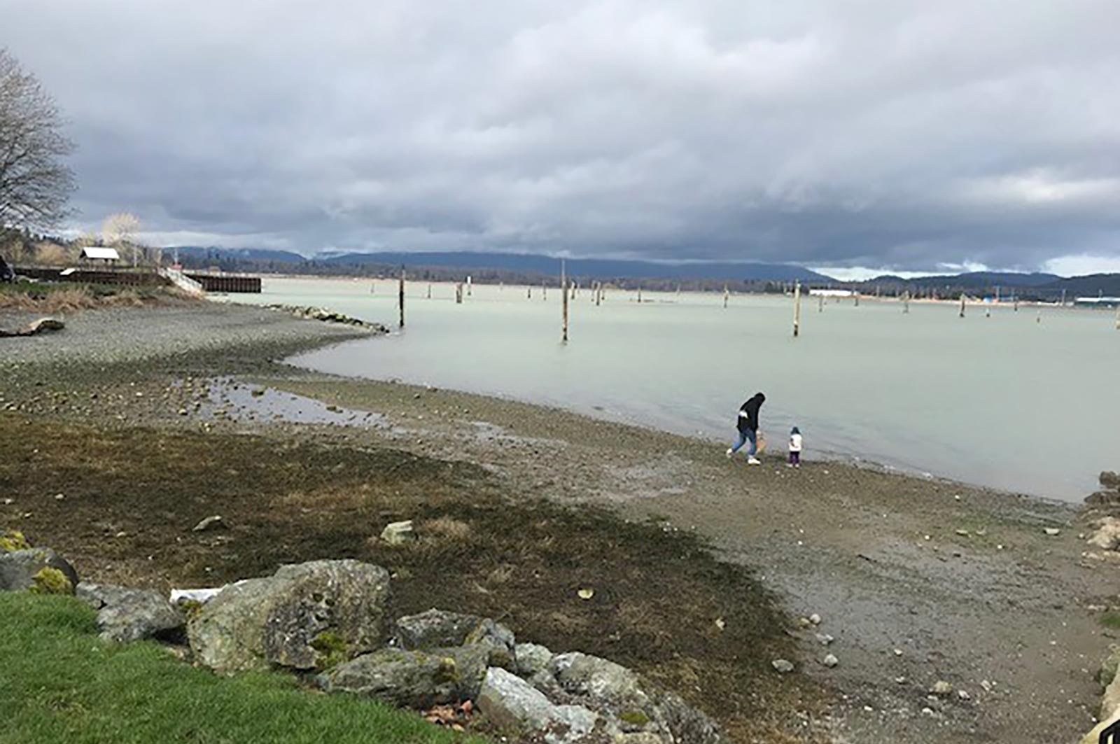
The Sunshine Coast Regional District will work with shíshálh Nation (Sechelt Nation), Skwxú7mesh Úxwumixw (Squamish Nation), community members, and other local governments to develop a Regional Watershed Management Plan. The plan will outline actions needed to protect watersheds within the region. (Photo: Jim McCaughan / REFBC)
View map of BC's Natural Resource District.
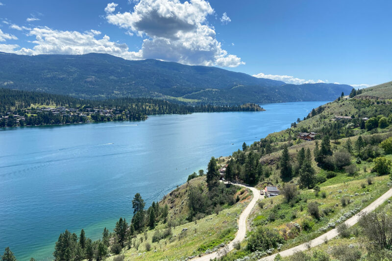
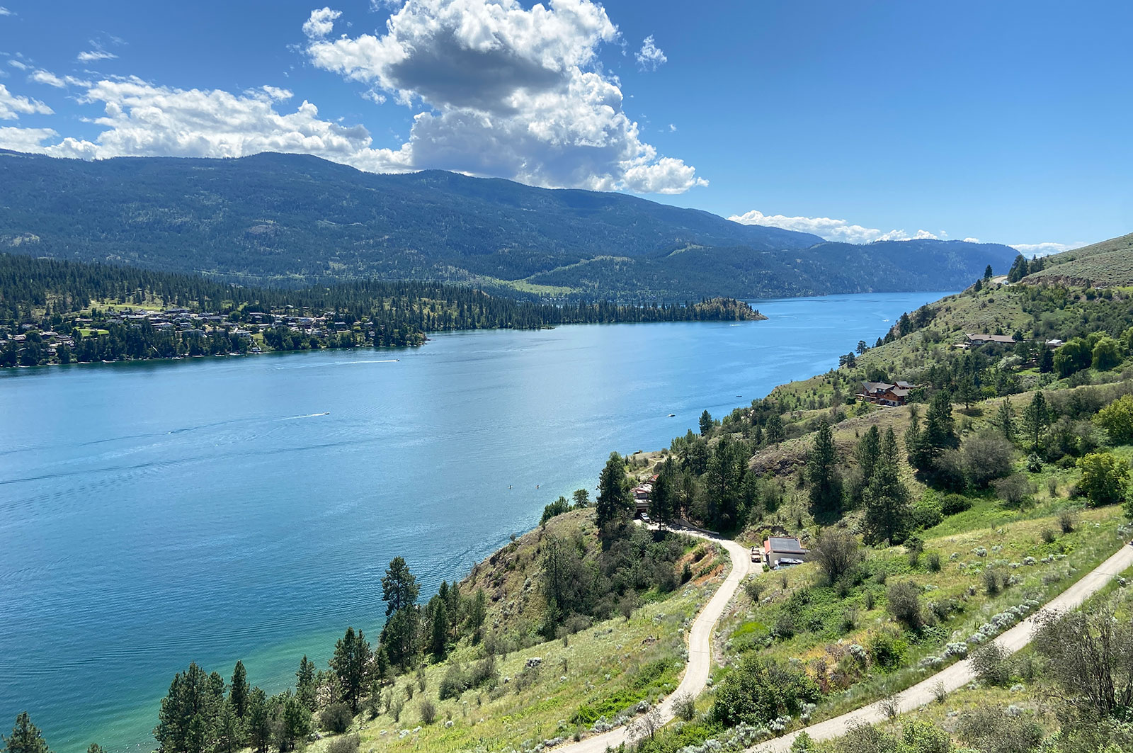
Okanagan Basin Water Board is collaborating with Indigenous, municipal, and provincial governments to develop and pilot a source water protection toolkit in the Okanagan. They are also working with En’owkin Centre ECOmmunity Department (Penticton Indian Band) to restore a portion of the k’əmcnitkw floodplain. This project, which supports 14 jobs, is part of a long-term strategy to equip communities with the tools to protect their drinking water by engaging them in restoration work and building awareness of water conservation. (Photo: Adarshana Thapa / REFBC)
View map of BC's Natural Resource District.
 View Details
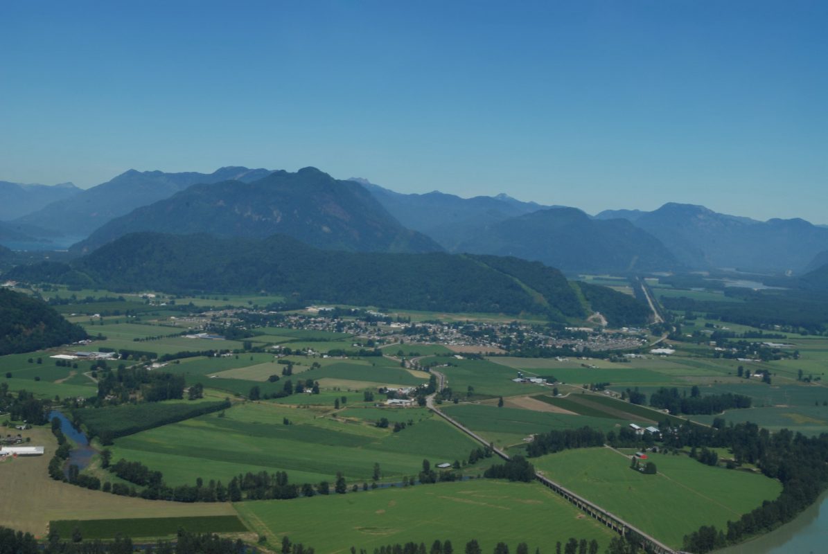
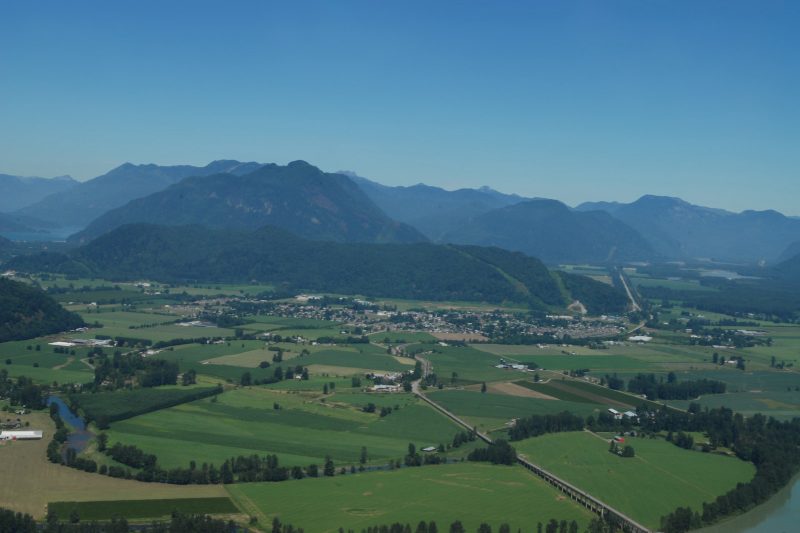
District of Kent is replacing a culvert on the Lower Agassiz slough to open the waterway for fish passage. A new fish-friendly flood gate will make valuable habitat accessible to overwintering juvenile salmon and other fish species. This project will support at least 14 jobs. (Photo: Picture BC / Flickr)
View map of BC's Natural Resource District.
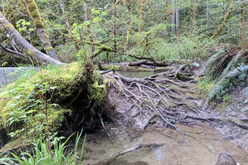
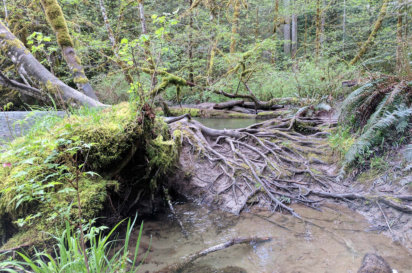
The City of Port Alberni is decommissioning its wastewater treatment lagoon and restoring the area as a natural tidal marsh. This project will restore habitat in the Somass estuary, improve wastewater treatment and stormwater management, and support 15 jobs. (Photo: Stephanie Butler / REFBC)
View map of BC's Natural Resource District.
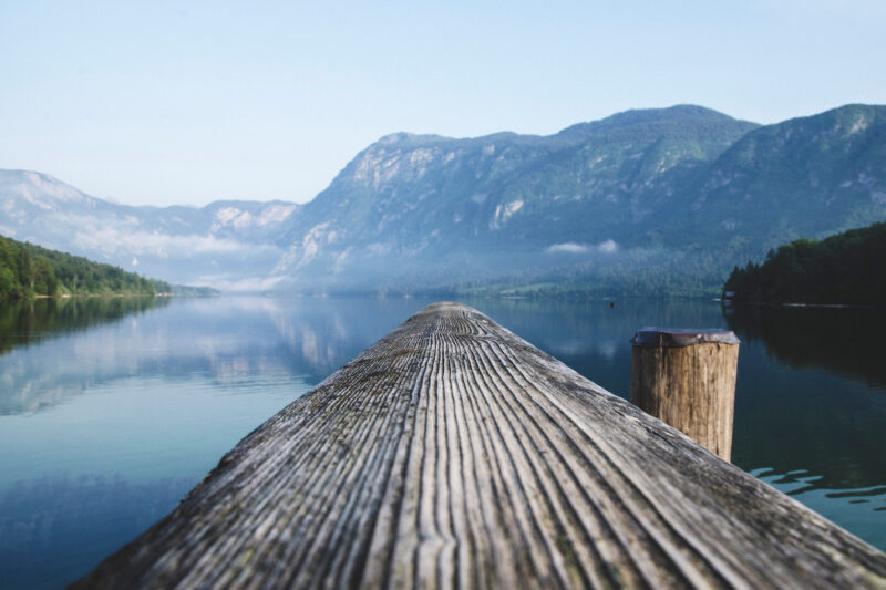
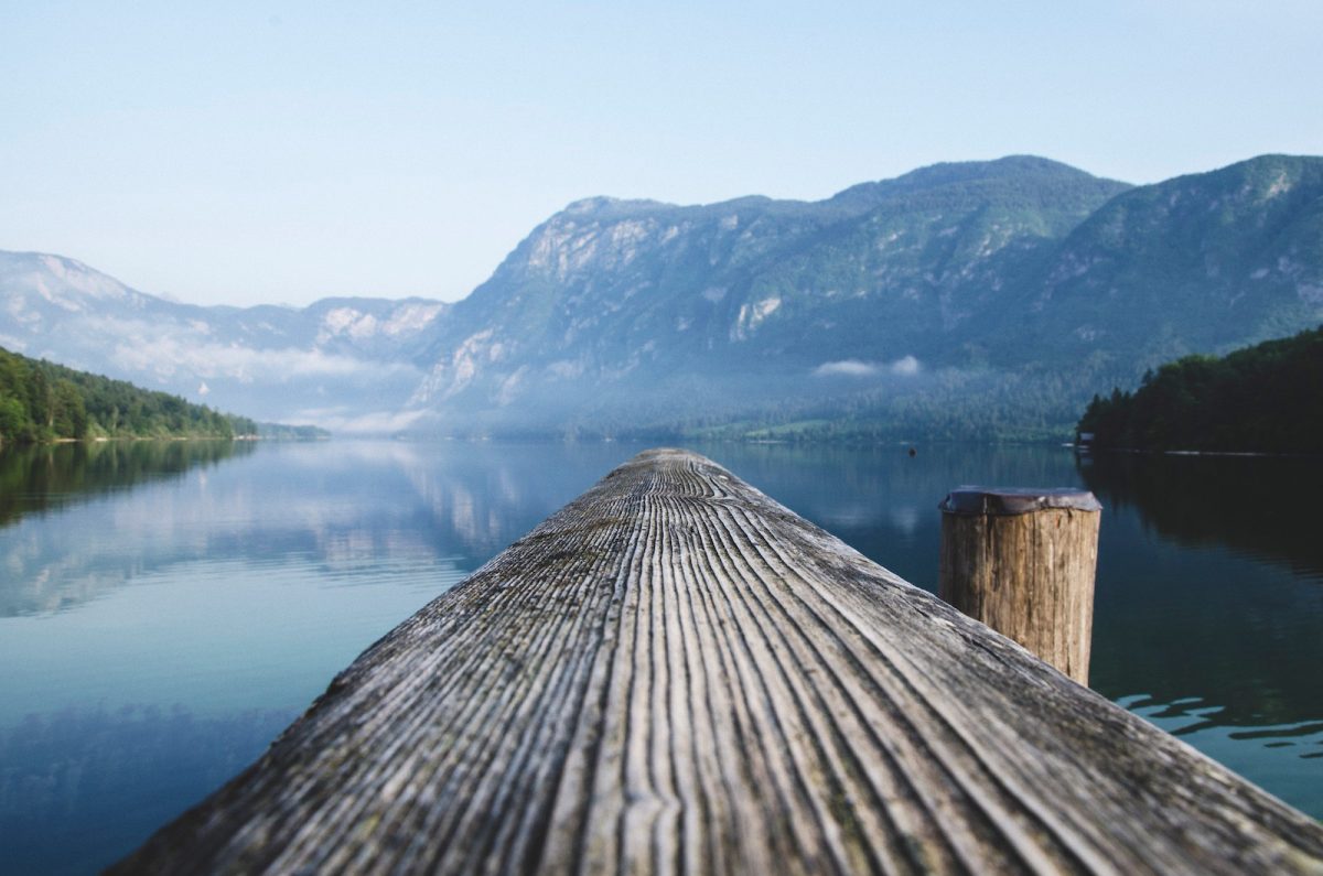
The Town of Gibsons is evaluating the conditions and potential risks to natural assets within the Gibsons Aquifer Watershed. By ensuring that natural assets are understood, measured, and managed, this project will support asset management strategies and climate change responses. This project will support nine jobs. (Photo: Unsplash)
View map of BC's Natural Resource District.
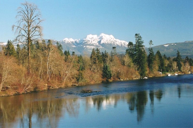
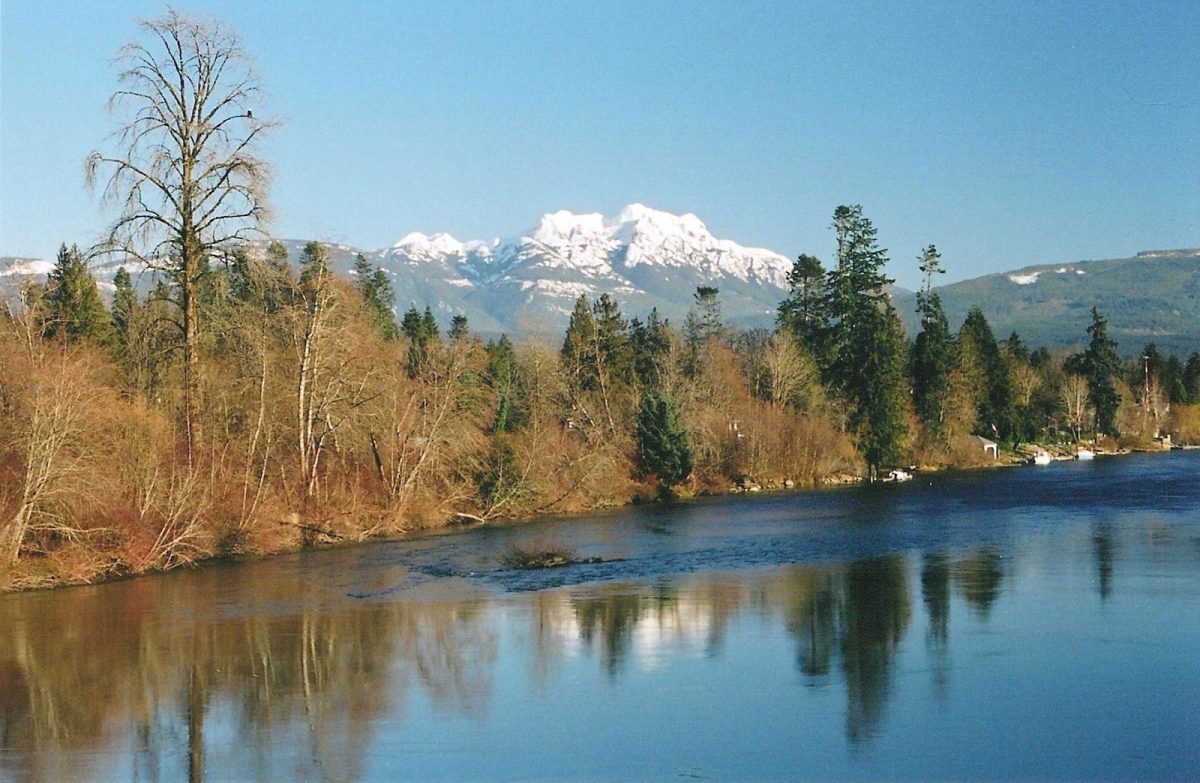
Alberni Clayoquot Regional District is replacing the pedestrian bridge and repairing the abutments on Log Train Trail at Platzer Creek. This project, which supports nine jobs, is addressing erosion and safety and will improve water flow in a critical salmon-bearing stream.
View map of BC's Natural Resource District.
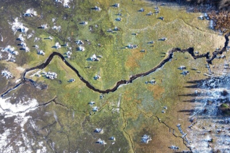
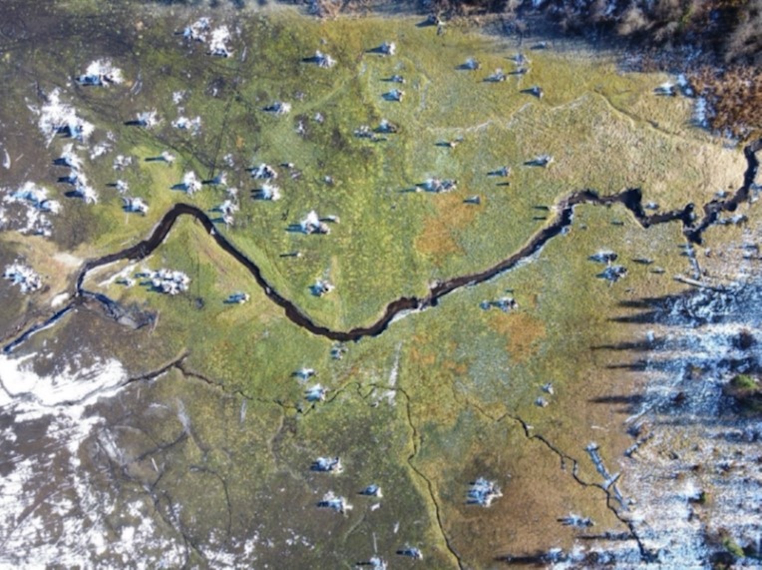
The City of Trail is restoring 901 hectares of wetlands, floodplains, and tributaries in Cambridge Creek Reservoir and Violin Lake by decommissioning four dams and rebuilding the surrounding wetlands and streams. By undertaking this large-scale work, the City will improve the health of the watershed and make the site safer for the public. This project supports 31 jobs. (Photo: City of Trail)
View map of BC's Natural Resource District.
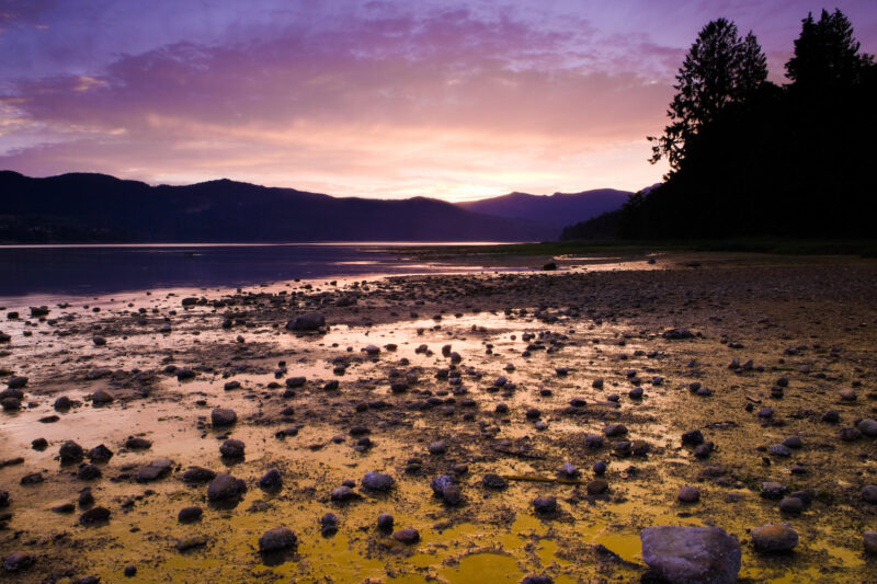
Islands Trust will work with First Nations and community groups to develop and implement a Freshwater Sustainability Strategy to guide resource allocation for freshwater projects. This project, which will support up to 31 jobs, also includes restoration work in protected areas on Salt Spring Island and programming for Indigenous youth. (Photo: Picture BC / Flickr)
View map of BC's Natural Resource District.