
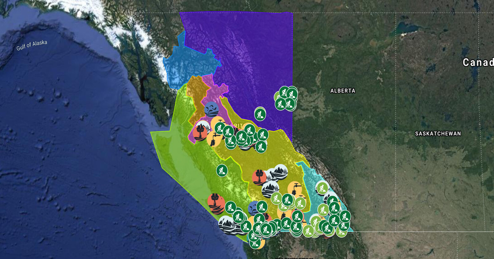
A full list of projects is now available as an interactive map, on Airtable, as a list (pdf), and as a Google Earth map file (kmz).
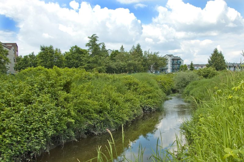
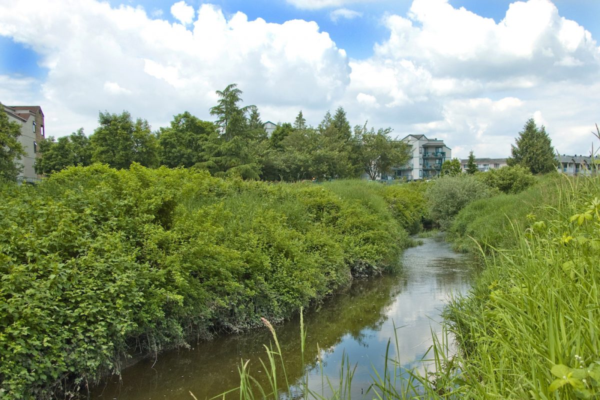
ARDCorp is expanding its water monitoring program to agricultural areas along Bertrand Creek to support the development of a Group Environmental Farm Plan. Environmental Farm Plans help farmers increase efficiency and profitability by implementing more sustainable farming practices. This project will support four jobs. (Photo: Picture BC / Flickr)
View map of BC's Natural Resource District.
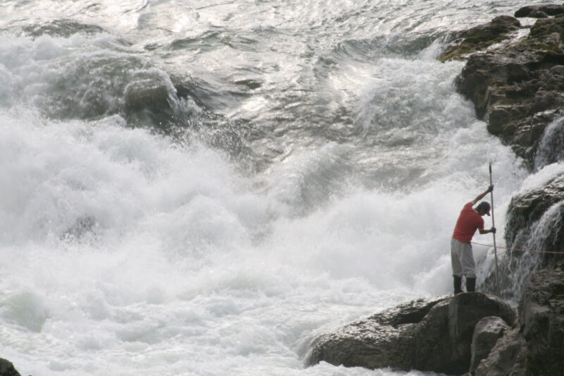
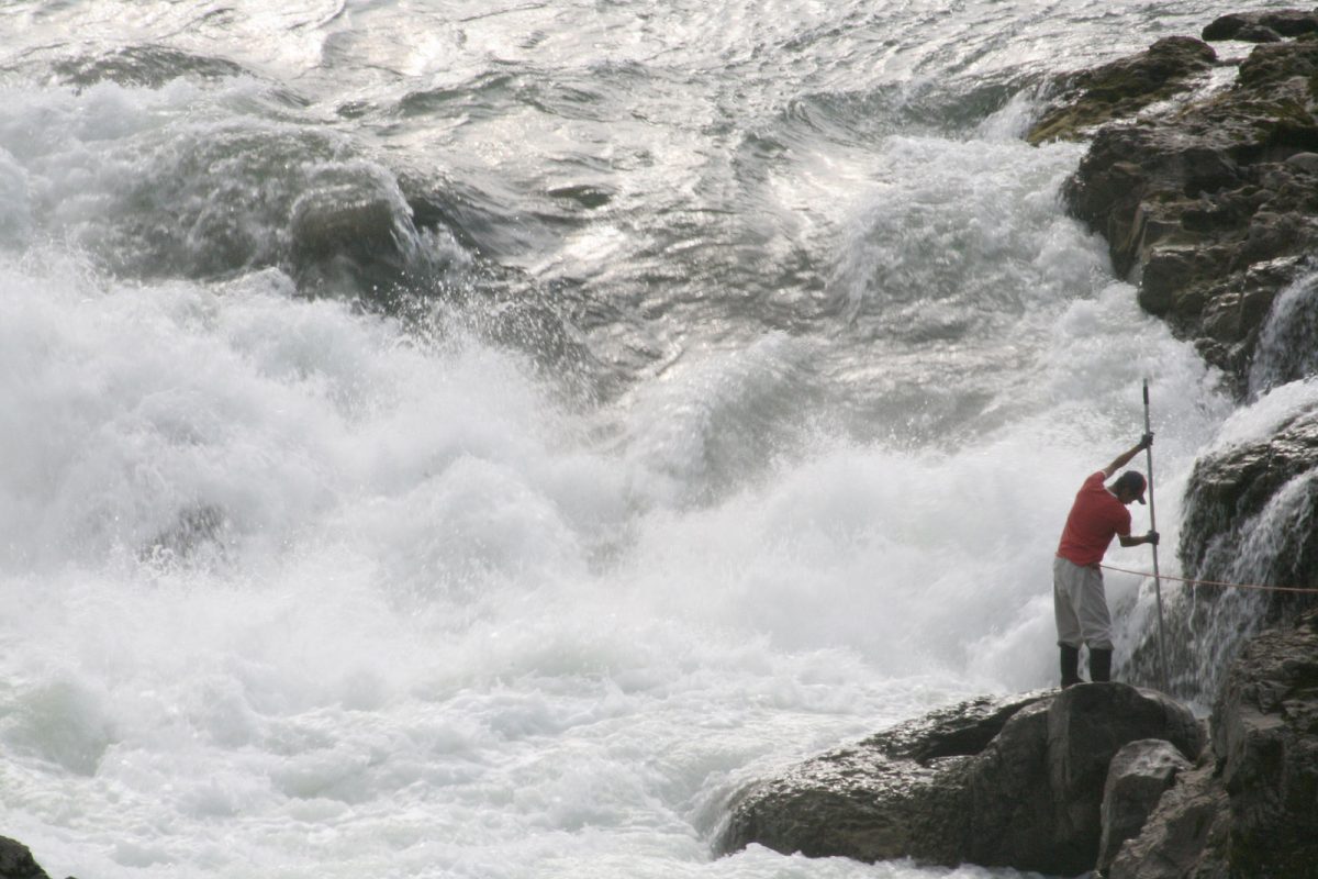
Wet'suwet'en Treaty Office Society is expanding its water monitoring program to capture data on the distribution, life history, and genetic diversity of salmon spawning in the Upper Bulkley and Morice watersheds. This project, which will support up to eight jobs, addresses high-priority information gaps identified in the Morice Sockeye Rebuilding Plan. (Photo: Picture BC / Flickr)
View map of BC's Natural Resource District.
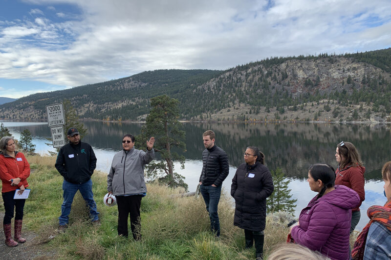
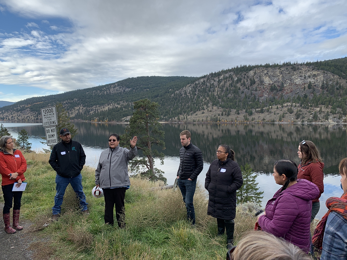
BC Freshwater Legacy Initiative, a project of Makeway, is providing tailored training, peer learning, and coaching support to Indigenous and non-Indigenous water leaders in communities that are leading on innovative approaches to watershed management, governance, and security. This project, which supports 10 jobs, will enable shared learning between organizations and regions and to advance the use of different knowledge systems in informing good watershed decision-making. (Photo: REFBC)
View map of BC's Natural Resource District.
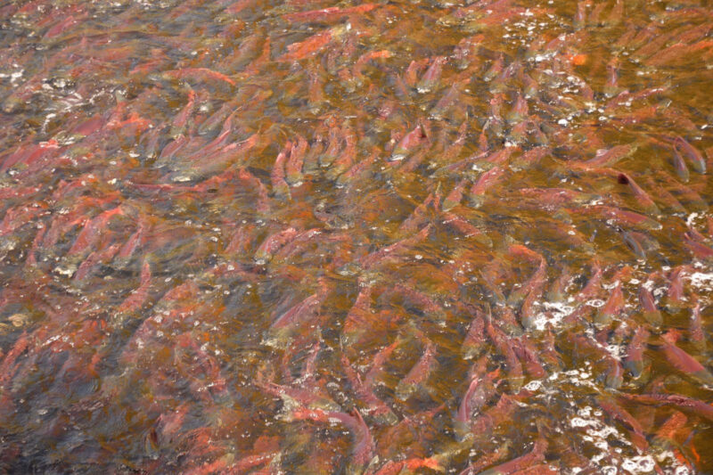
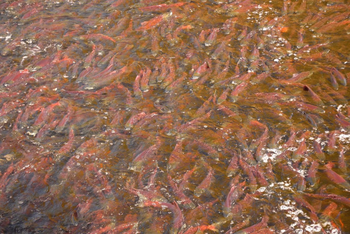
Nechako Environment and Water Stewardship Society is restoring habitats, riparian areas, and water quality to support healthy populations of salmonids. Activities include replacing culverts with fish-friendly flow infrastructure, stabilizing stream banks, and minimizing livestock access to streambanks. This project will focus on six sites across critical tributaries of the Nechako Watershed and will support up to 20 jobs. (Photo: Picture BC / Flickr)
View map of BC's Natural Resource District.