
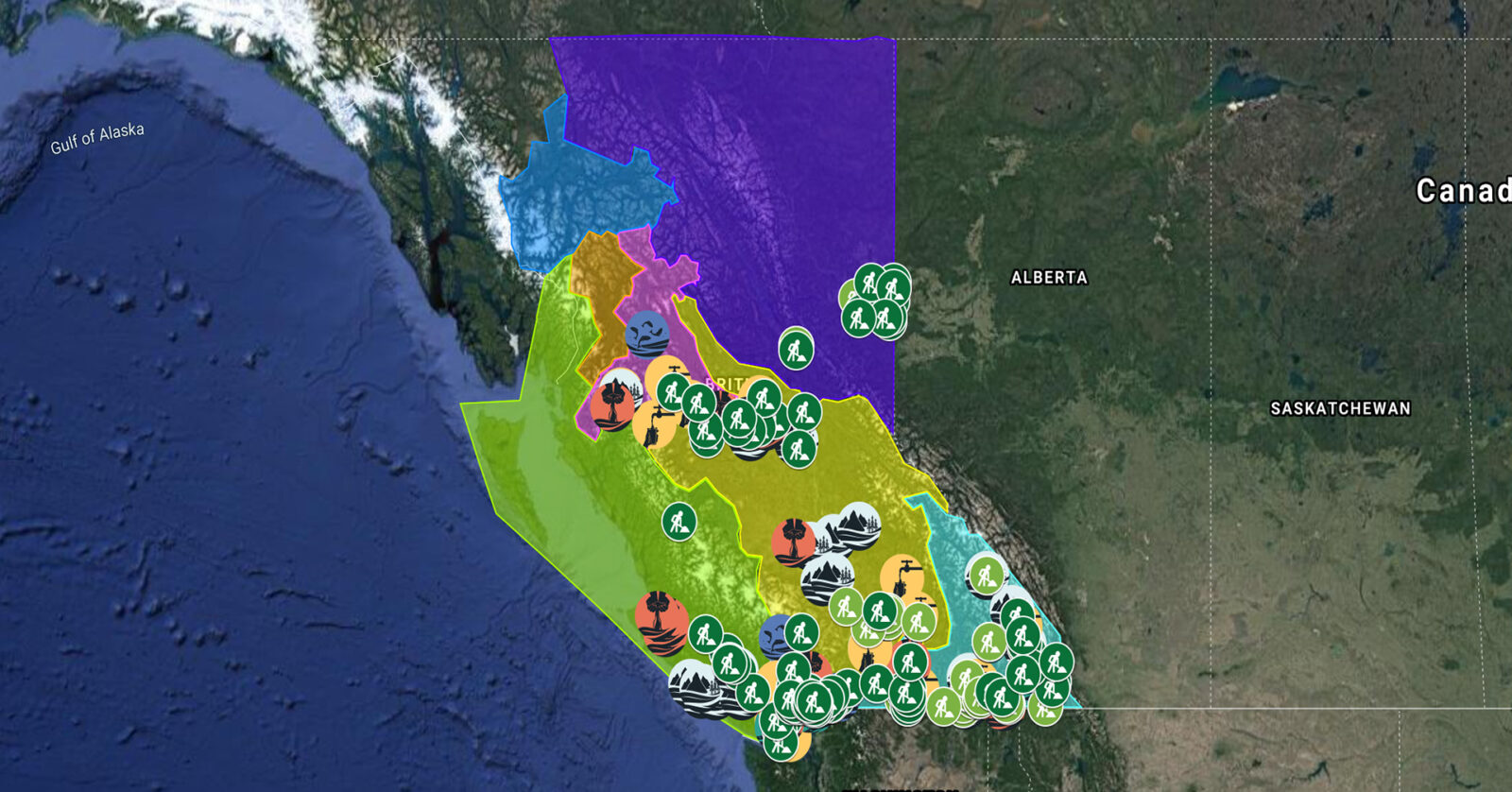
A full list of projects is now available as an interactive map, on Airtable, as a list (pdf), and as a Google Earth map file (kmz).
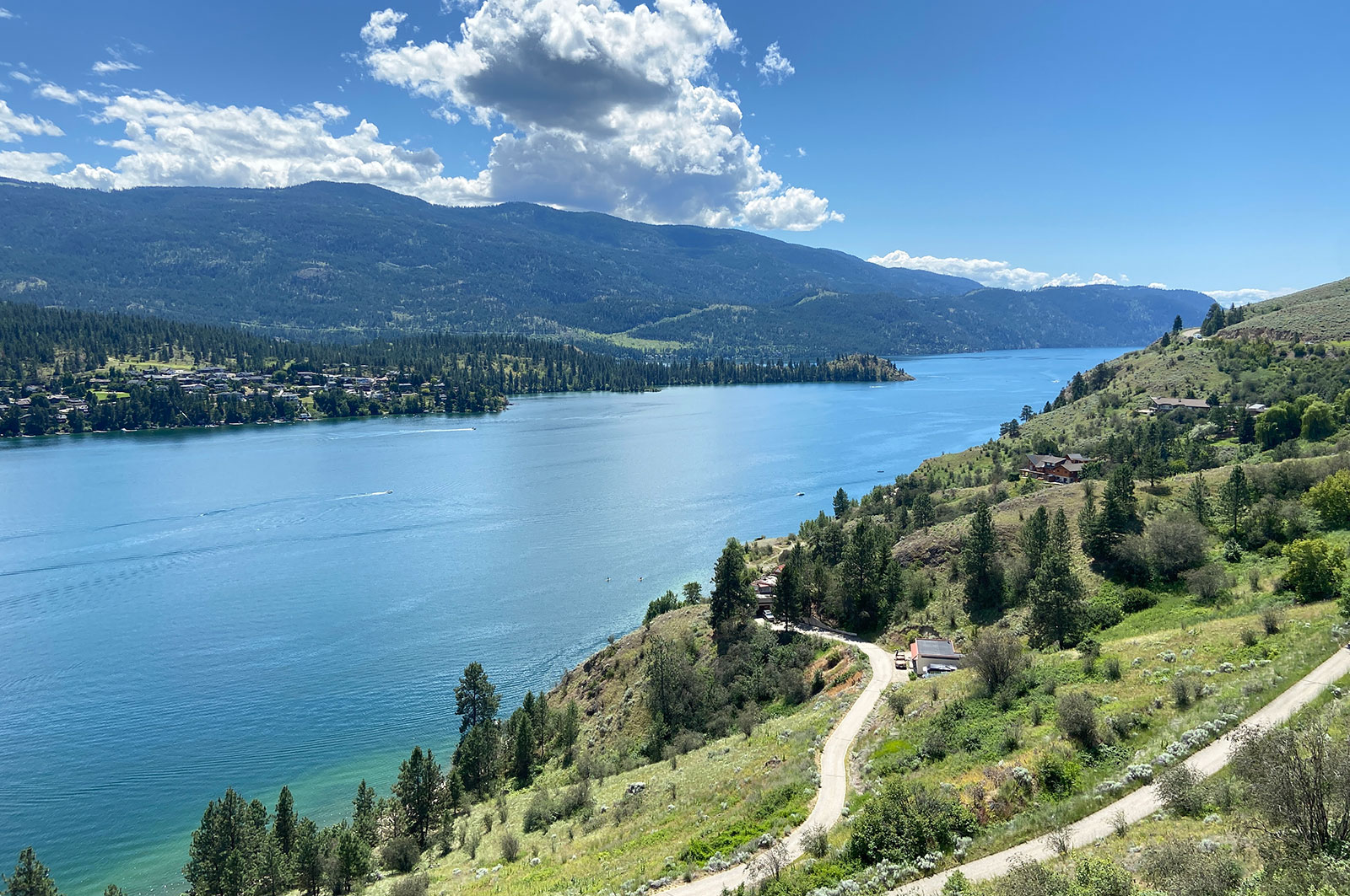
Okanagan Basin Water Board is collaborating with Indigenous, municipal, and provincial governments to develop and pilot a source water protection toolkit in the Okanagan. They are also working with En’owkin Centre ECOmmunity Department (Penticton Indian Band) to restore a portion of the k’əmcnitkw floodplain. This project, which supports 14 jobs, is part of a long-term strategy to equip communities with the tools to protect their drinking water by engaging them in restoration work and building awareness of water conservation. (Photo: Adarshana Thapa / REFBC)
View map of BC's Natural Resource District.
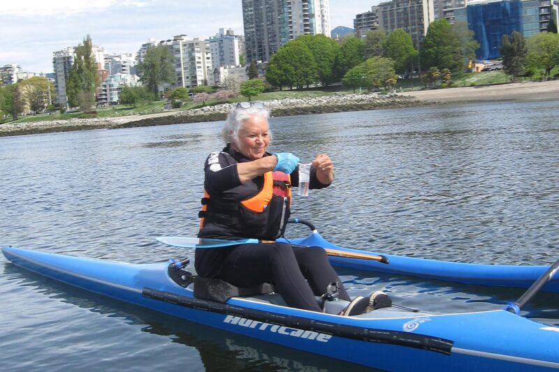
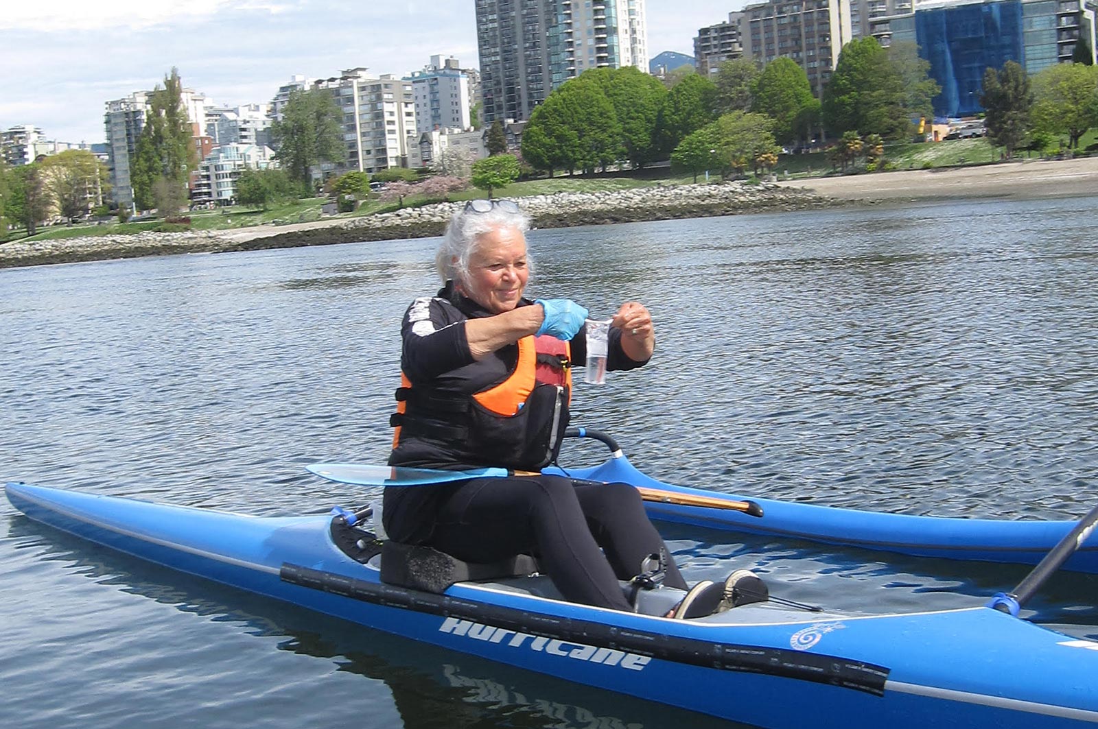
Fraser Riverkeeper Society is partnering with Sea Smart and the Boundary Bay Park Association to expand its recreational water quality monitoring program to Kitsilano Beach and Centennial Beach. Team members will train volunteers on water and environmental sample collection, assess water quality and suitability for recreational use, and share water quality data on Swim Guide. This project, which safeguards community waters and informs future restoration projects, supports five jobs. (Photo: Fraser Riverkeeper)
View map of BC's Natural Resource District.
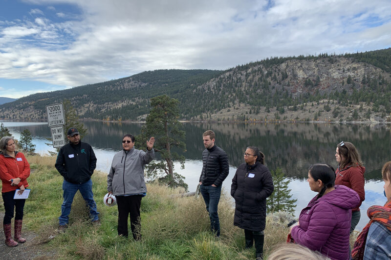
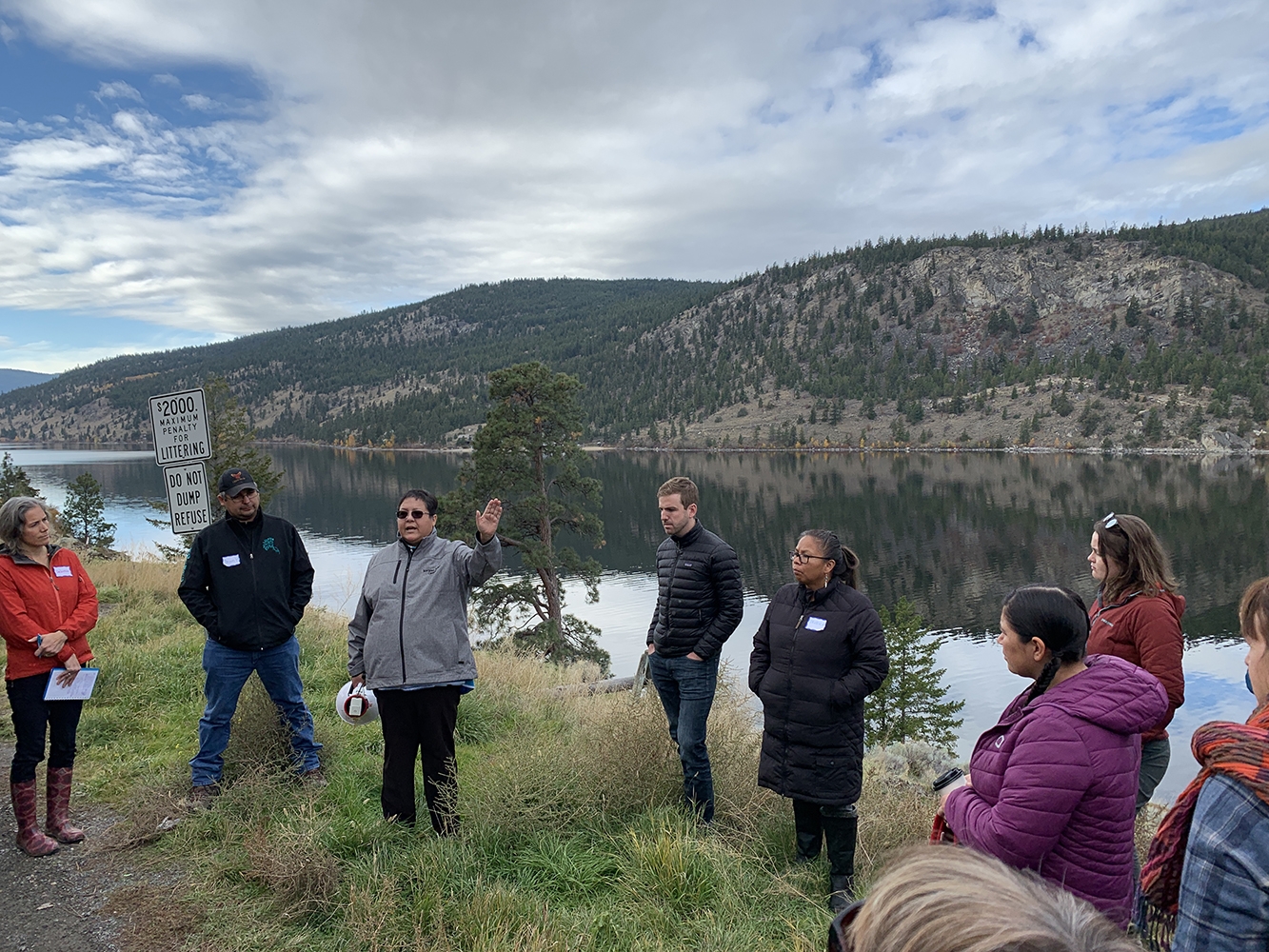
BC Freshwater Legacy Initiative, a project of Makeway, is providing tailored training, peer learning, and coaching support to Indigenous and non-Indigenous water leaders in communities that are leading on innovative approaches to watershed management, governance, and security. This project, which supports 10 jobs, will enable shared learning between organizations and regions and to advance the use of different knowledge systems in informing good watershed decision-making. (Photo: REFBC)
View map of BC's Natural Resource District.
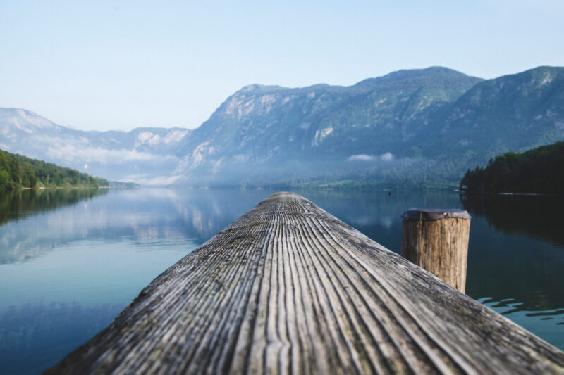
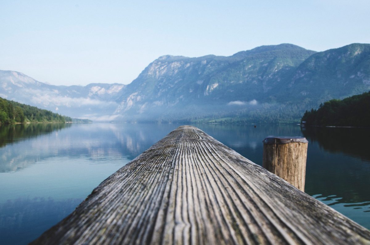
The Town of Gibsons is evaluating the conditions and potential risks to natural assets within the Gibsons Aquifer Watershed. By ensuring that natural assets are understood, measured, and managed, this project will support asset management strategies and climate change responses. This project will support nine jobs. (Photo: Unsplash)
View map of BC's Natural Resource District.
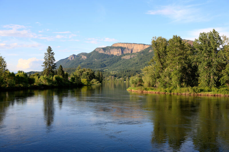
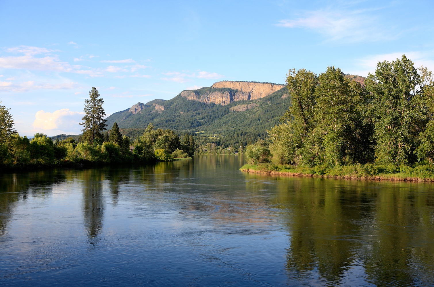
Yucwmenlúcwu (Caretakers of the Land) LLP is using sensitive habitat inventory mapping to establish baseline conditions of the Salmon River. This data will be used to further the long-term goal of reversing the historical trend pertaining to fish habitat degradation marked by lost riparian vegetation, eroding streambanks, high summer temperatures, low water levels, sediment buildup, declining salmon stocks and other issues in the Salmon River. This project supports eight jobs. (Photo: Picture BC / Flickr)
View map of BC's Natural Resource District.
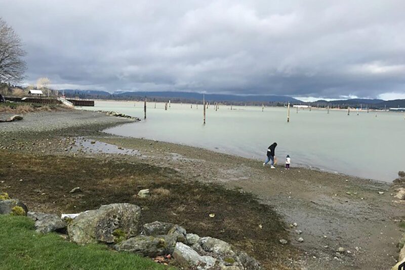
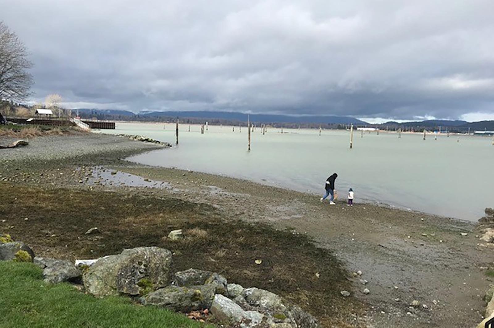
The Sunshine Coast Regional District will work with shíshálh Nation (Sechelt Nation), Skwxú7mesh Úxwumixw (Squamish Nation), community members, and other local governments to develop a Regional Watershed Management Plan. The plan will outline actions needed to protect watersheds within the region. (Photo: Jim McCaughan / REFBC)
View map of BC's Natural Resource District.
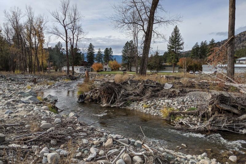
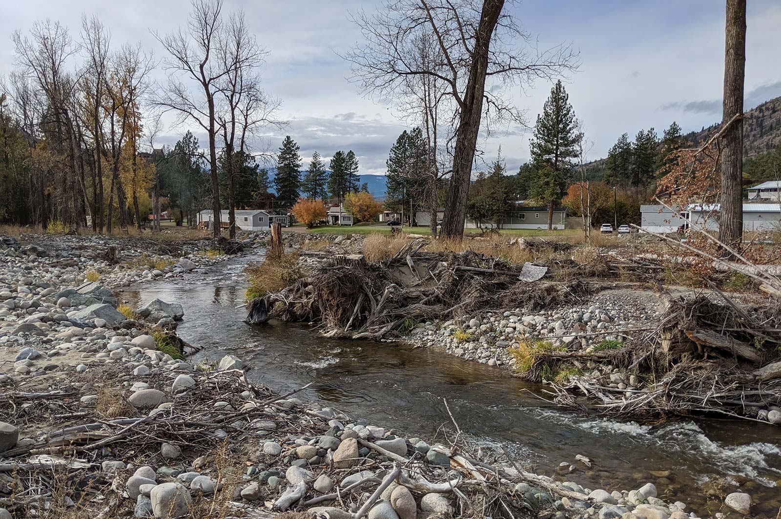
Scw'exmx Tribal Council is conducting water monitoring to track agricultural effluent along the Nicola and Coldwater Rivers. Communities and decision makers will use this data to understand how water quality may be impacted by agricultural activity during the spring freshet. This project will support two jobs. (Photo: Noémi Pomerleau / REFBC)
View map of BC's Natural Resource District.
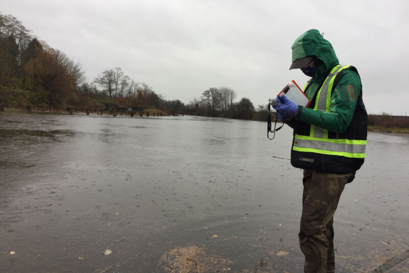
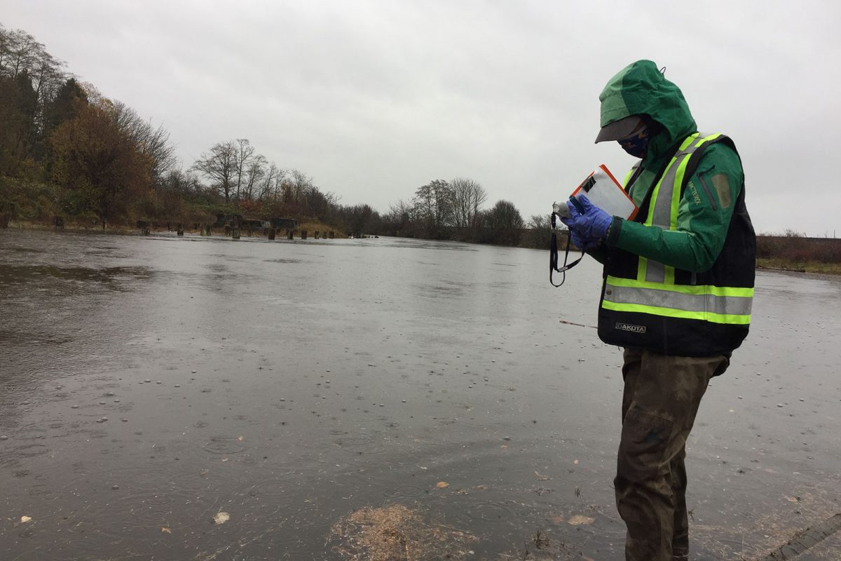
A Rocha Canada is partnering with Semiahmoo First Nation on work towards a long-term goal of restoring water quality in Boundary Bay so the Nation can resume the harvest of shellfish. Activities include identifying contamination sources through water monitoring, convening a roundtable, and developing a water quality action plan. This project supports six jobs. (Photo: A Rocha)
View map of BC's Natural Resource District.
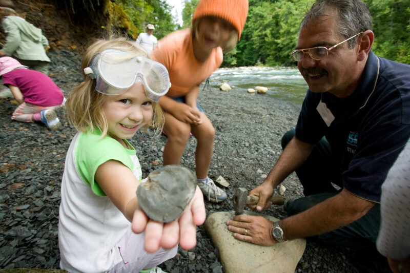
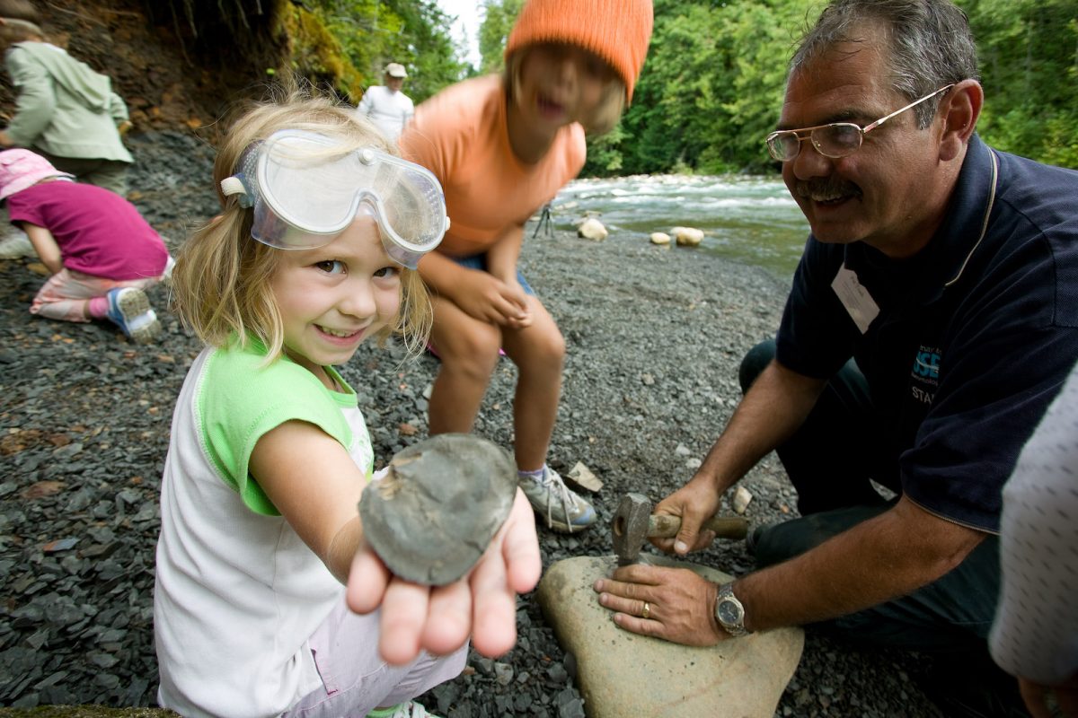
School District No. 91 (Nechako Lakes) is expanding its experiential summer conservation employment program between UNBC and Ft. St. James Secondary School to employ and train two students in a range of salmon conservation, restoration, and monitoring initiatives being led by the Upper Fraser Fisheries Conservation Alliance, Nechako Environment and Water Stewardship Society, Mid and Upper-Fraser Salmon Conservation Collaborative, and BC Parks. The students will participate in short-term work at multiple sites in the Nechako Watershed, including Nahounli Creek, and will assist with establishing at least one long-term ecological monitoring project in Mt. Pope Provincial Park. This project supports four jobs. (Photo: Picture BC / Flickr)
View map of BC's Natural Resource District.
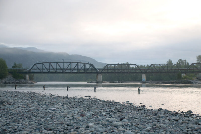
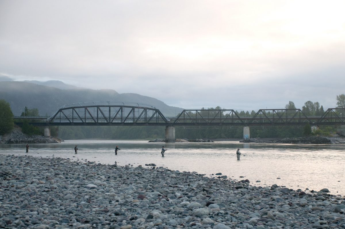
SkeenaWild Conservation Trust is conducting riparian restoration surveys on four fish-bearing streams north of Terrace: Willow Creek, Spring Creek, Lean-To Creek, and Deep Creek. These surveys will identify priority areas for future restoration work and provide a baseline for future monitoring of stream characteristics. This project supports four jobs. (Photo: Picture BC / Flickr)
View map of BC's Natural Resource District.
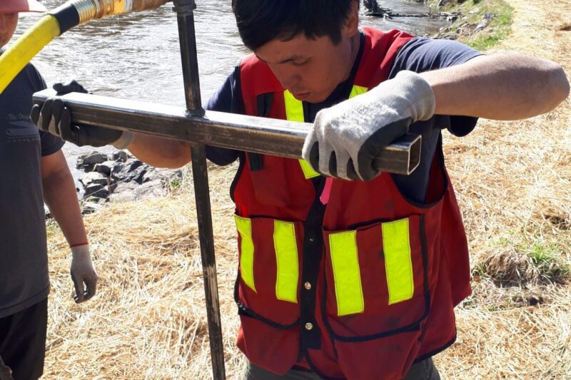
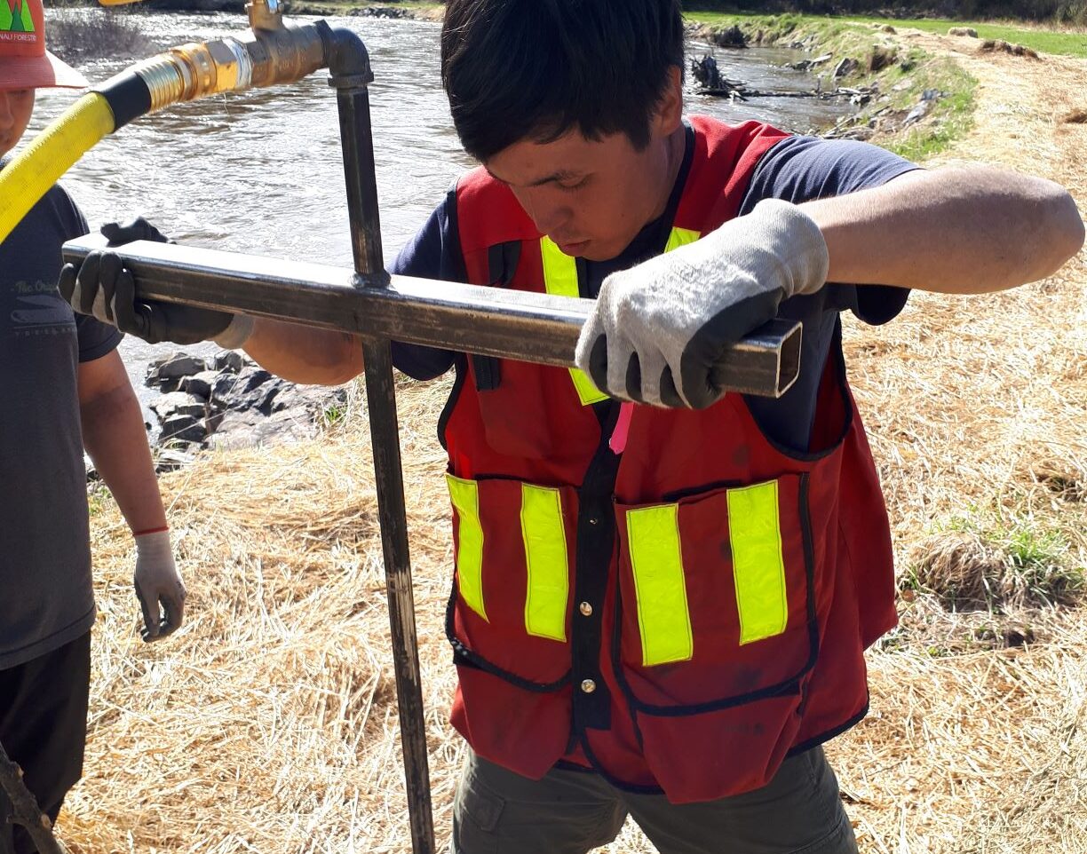
Northwest Research and Monitoring Ltd. is partnering with the Morice Watershed Monitoring Trust and the Office of the Wet'suwet'en to complete the first phase of a multi-year riparian restoration project in the Upper Bulkley and Upper Morice basins. This phase of the project supports 28 jobs, and focuses on project planning, technical training, and streamside planting. (Photo: Northwest Research & Monitoring)
View map of BC's Natural Resource District.
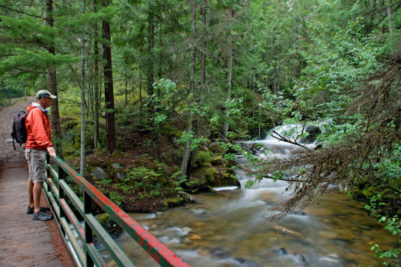
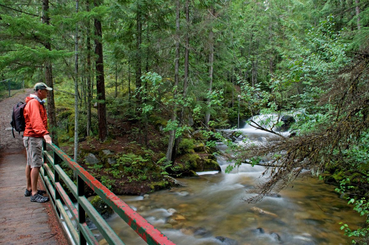
The Elk River Alliance's Community-Based Water Monitoring program will gather data to monitor Elk River tributaries that are critical habitat for wildlife. By collecting data and identifying trends in ecosystem health, the Elk River Alliance will be able to create an early warning system to identify the effects of climate change and land use decisions. This project will support the training and certification of up to 15 people. (Photo: Picture BC / Flickr)
View map of BC's Natural Resource District.
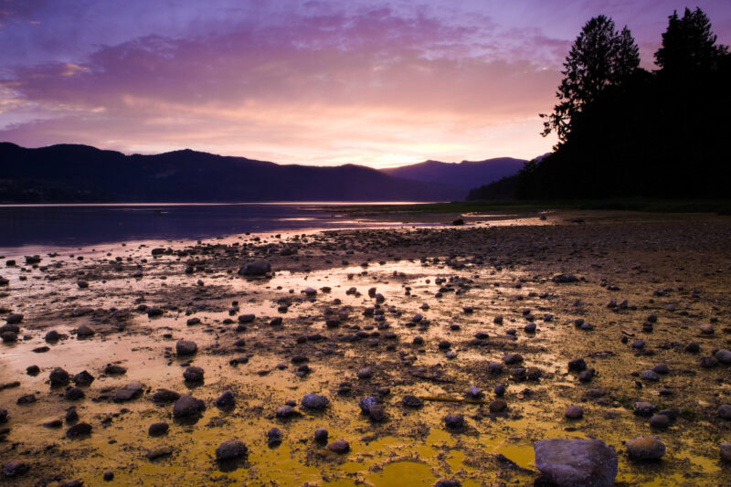
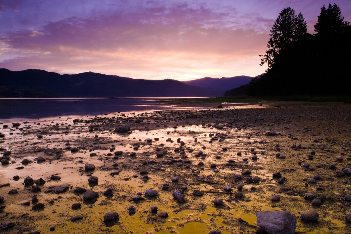
Islands Trust will work with First Nations and community groups to develop and implement a Freshwater Sustainability Strategy to guide resource allocation for freshwater projects. This project, which will support up to 31 jobs, also includes restoration work in protected areas on Salt Spring Island and programming for Indigenous youth. (Photo: Picture BC / Flickr)
View map of BC's Natural Resource District.
The Skeena Knowledge Trust is expanding access to the Skeena Salmon Data Centre so that watershed conservation organizations within the Skeena can address distinct land management issues within those watersheds. (Photo: Skeena Knowledge Trust)
View map of BC's Natural Resource District.
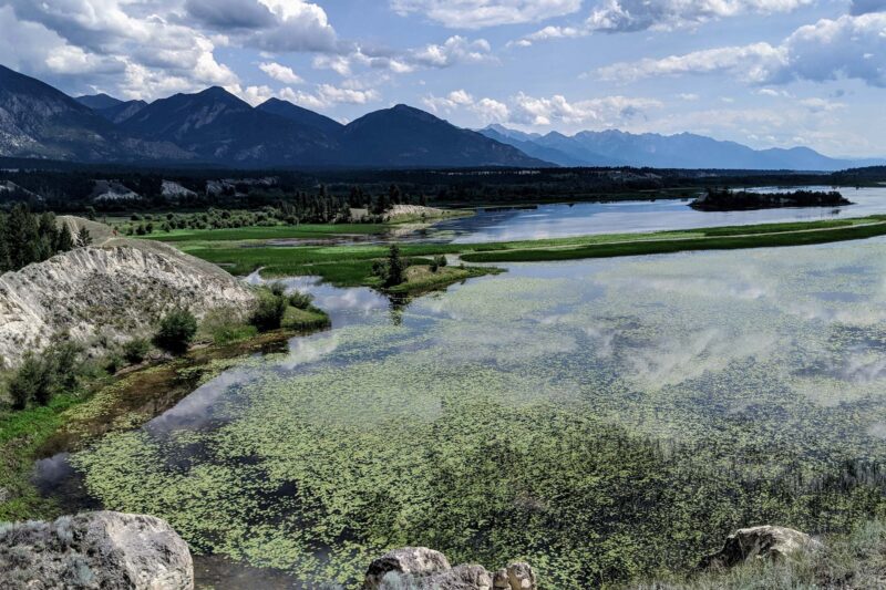
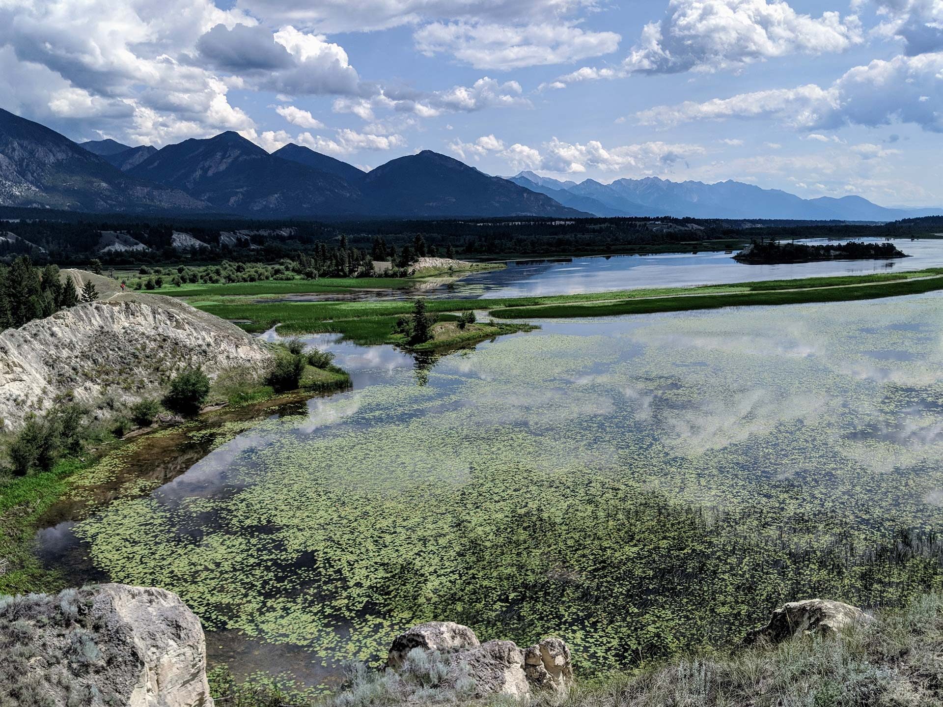
West Kootenay Community EcoSociety is working with First Nations and communities in Central Kootenay to assess natural assets and develop nature-based plans for two key watersheds. WKCES will prepare a plain language risk and opportunity analysis, and will develop an interactive map describing the current condition of the watersheds for residents who rely on them for drinking water. This project will support up to 21 jobs. (Photo: Nick Davies / REFBC)
View map of BC's Natural Resource District.
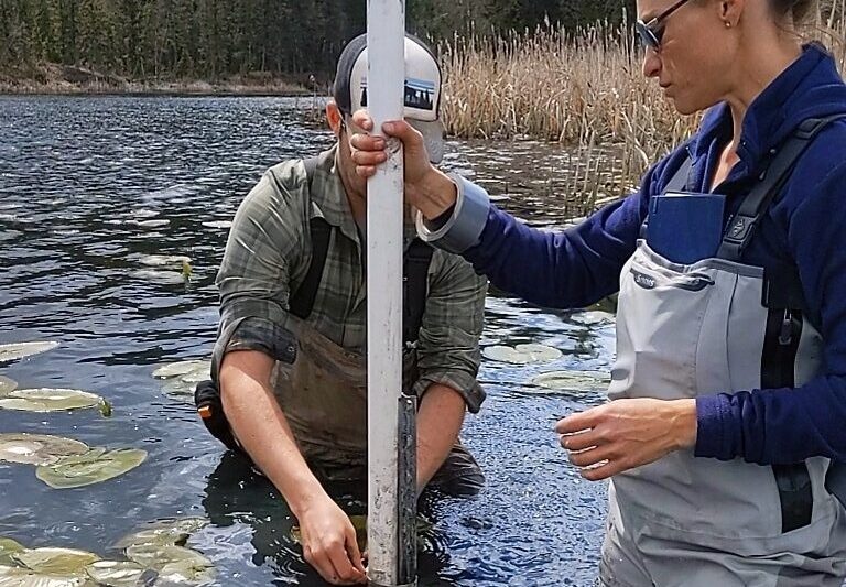
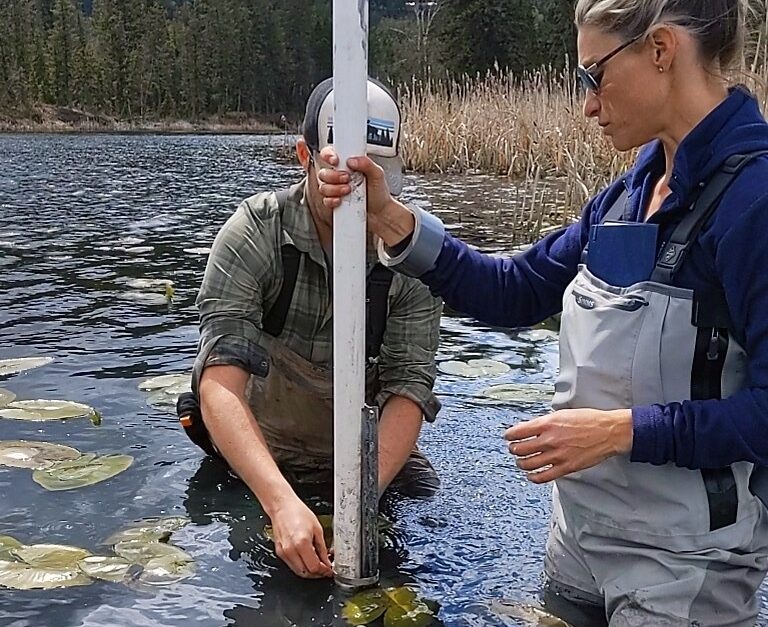
The purpose of this project is to ensure that Indigenous and non-Indigenous communities and decision-makers in the Upper Canadian Columbia Basin will have the necessary knowledge, skills and tools to adapt and mitigate climate change impacts by better understanding water resources in their respective communities. The understanding of diminished water supply, drought and flood events assist decisions impacting community and ecosystem resilience as well as for the food security, ecosystem health and economic vitality of these communities. This project will help transition towards a green economy by training indigenous and non indigenous youth, and people displaced or transitioning from other impacted sectors. See the Project Map for locations and details of the work supported by this project. This project will support 25 jobs and training. (Photo: Living Lakes Canada)
View map of BC's Natural Resource District.