

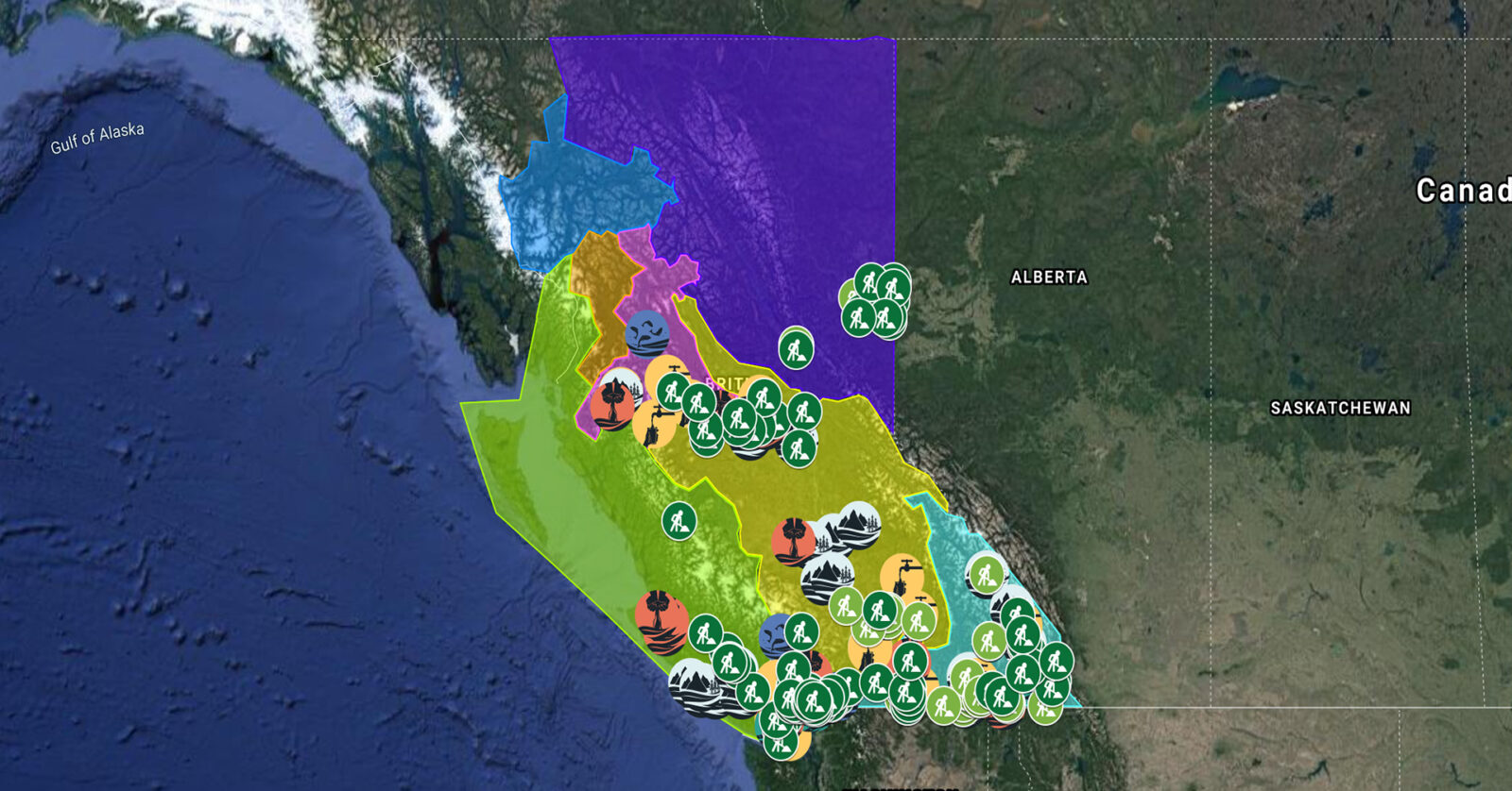
A full list of projects is now available as an interactive map, on Airtable, as a list (pdf), and as a Google Earth map file (kmz).
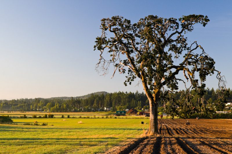
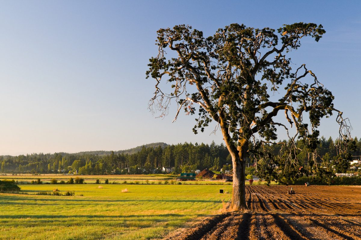
BC Investment Agriculture Foundation is working with farmers and First Nations across the province to protect and preserve critical riparian habitats on agricultural land. The Farmland Advantage program helps farmers identify natural values on their land and provides the tools needed to conserve them. This project will support up to 48 jobs. (Photo: Picture BC / Flickr)
View map of BC's Natural Resource District.
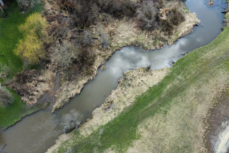
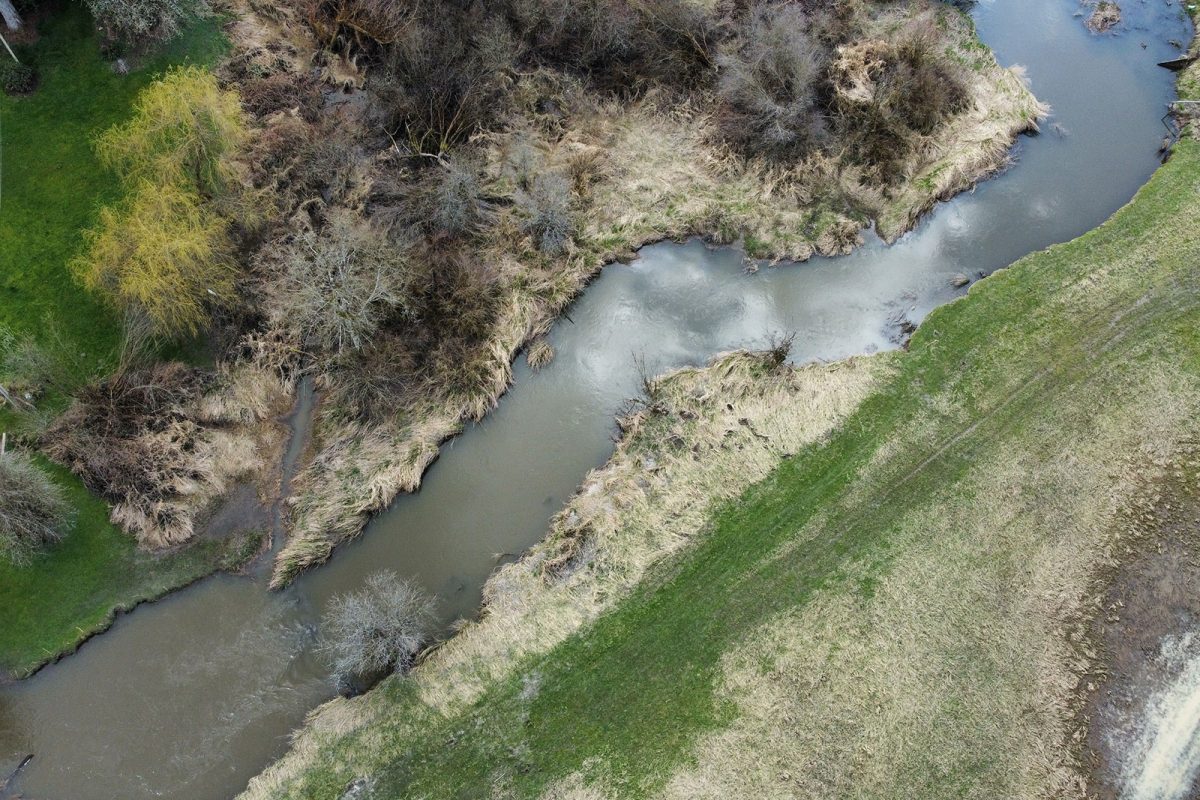
Rivershed Society of BC is piloting the development of a foodland corridor that restores sustainable food systems throughout the Fraser watershed. This project is being implemented in partnership with local First Nations, farmers, and ranchers. (Photo: Nerv Productions)
View map of BC's Natural Resource District.
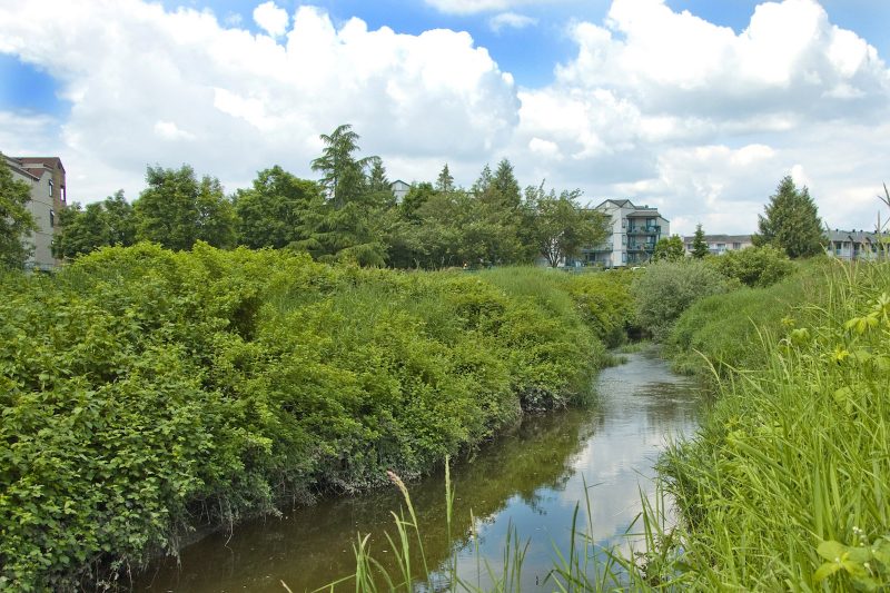
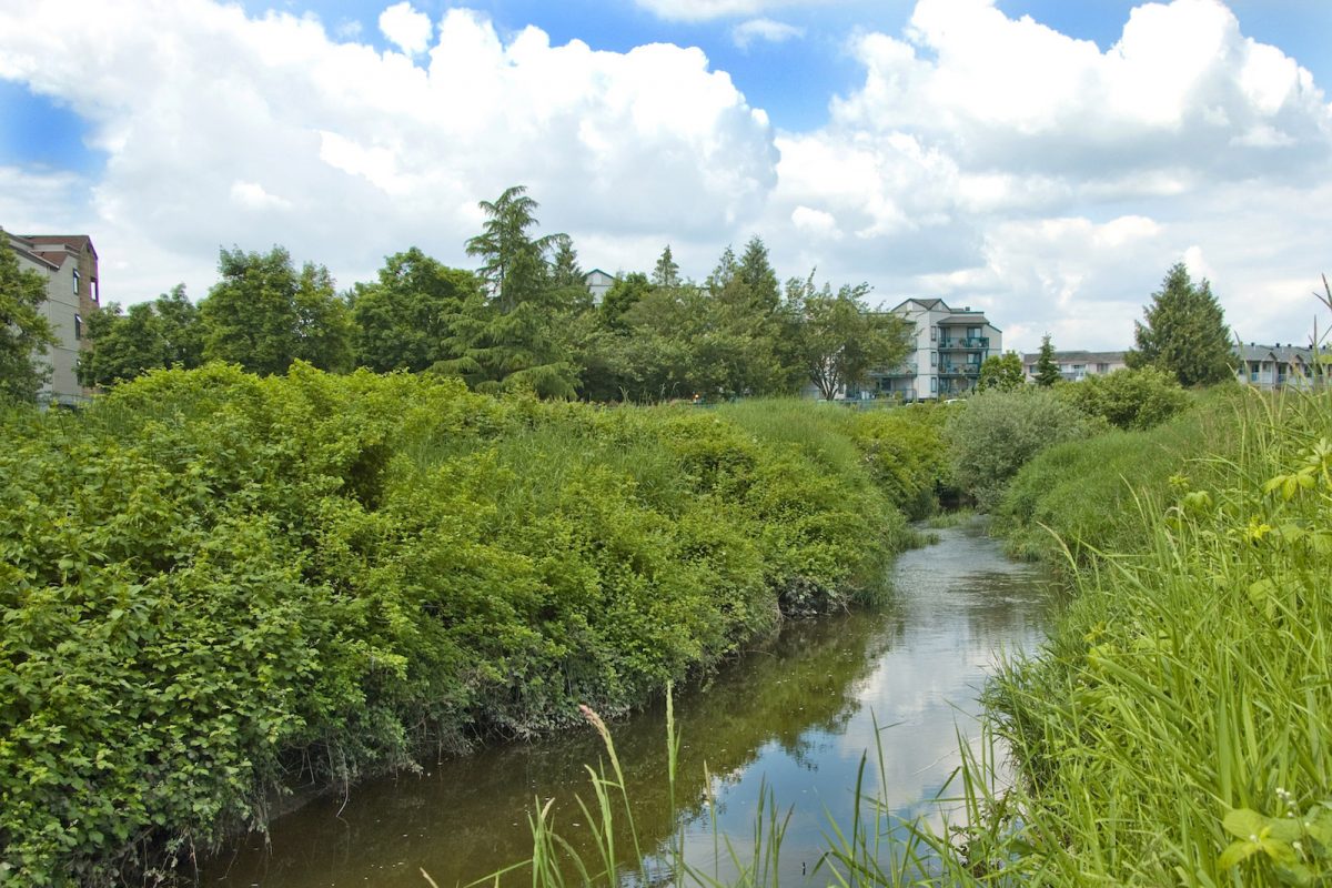
ARDCorp is expanding its water monitoring program to agricultural areas along Bertrand Creek to support the development of a Group Environmental Farm Plan. Environmental Farm Plans help farmers increase efficiency and profitability by implementing more sustainable farming practices. This project will support four jobs. (Photo: Picture BC / Flickr)
View map of BC's Natural Resource District.