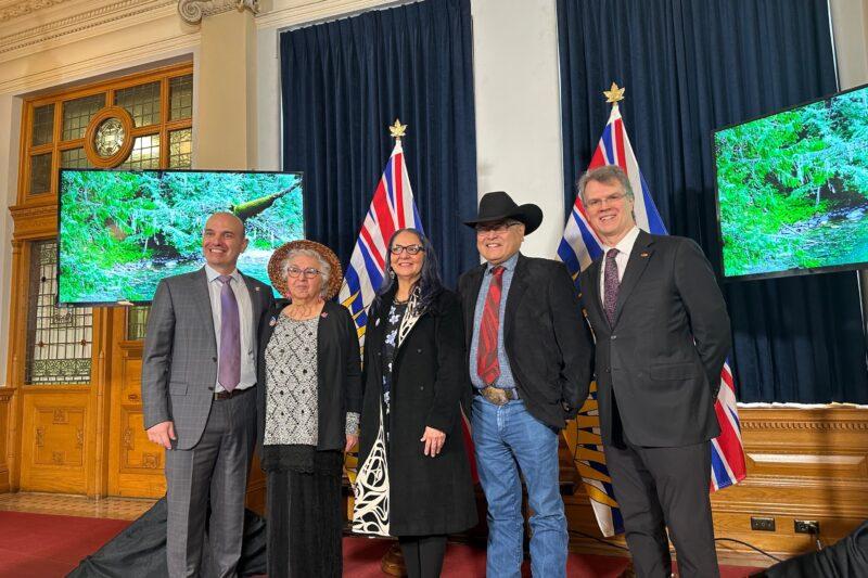

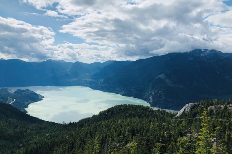
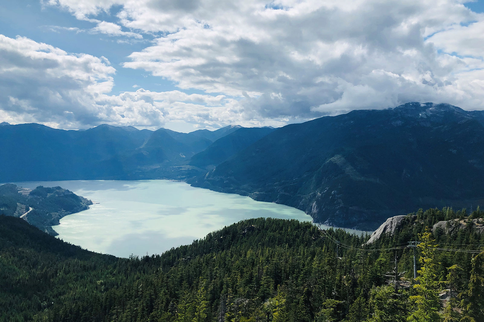
Squamish River Watershed Society, in partnership with Squamish Nation and Fisheries and Oceans Canada, is continuing efforts to restore anadromous passage to spawning grounds in the upper Elaho River. This work involves removing any additional obstructions at previously cleared sites and implementing innovative monitoring techniques to assess impact. This phase of the project supports five jobs. (Photo: Adarshana Thapa / REFBC)
View map of BC's Natural Resource District.
 View Details
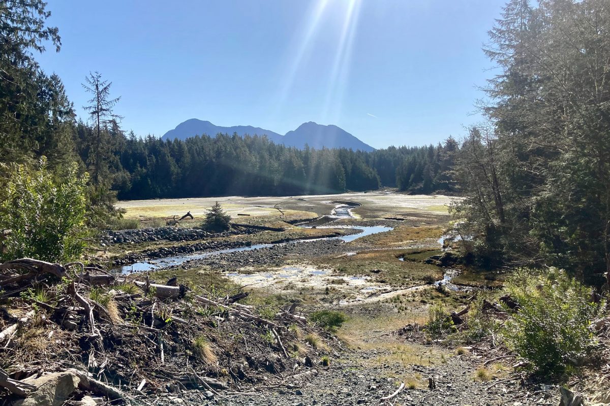
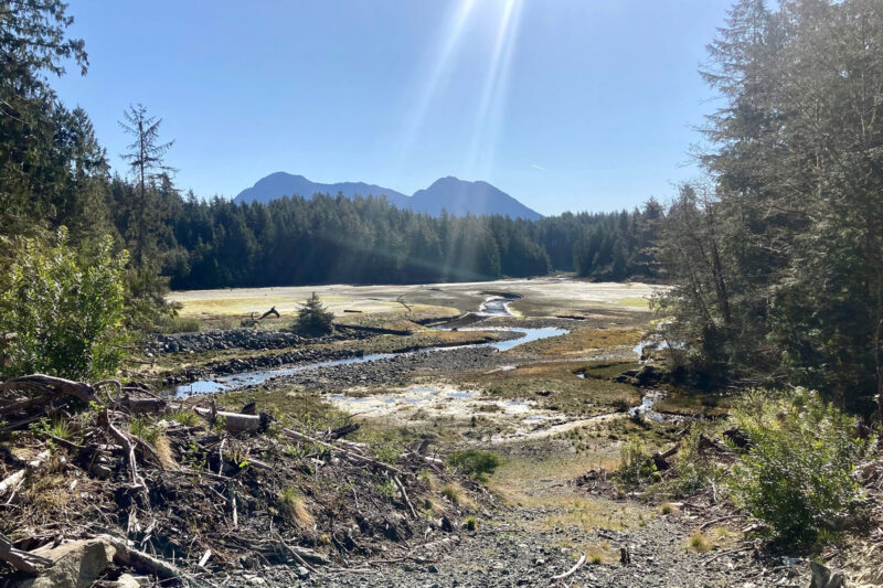
Ahousaht Nation is restoring the Anderson Creek watershed to revitalize spawning habitat for Chum salmon and protect the community's drinking water. Through a combination of restoration work and water monitoring activities, Ahousaht Nation and neighbouring communities will be prepared to make informed water and land use decisions that support a healthy ecosystem. This project supports nine jobs. (Photo: Ahousaht Nation)
View map of BC's Natural Resource District.
 View Details
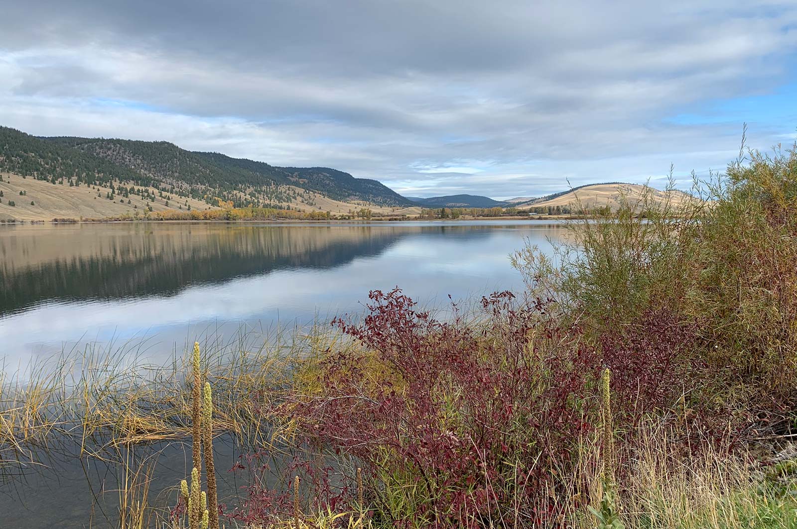
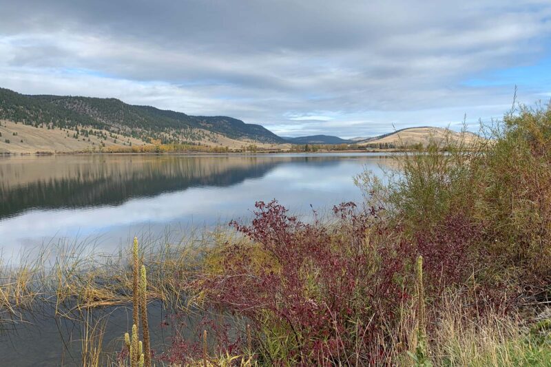
Fraser Basin Council is restoring grasslands in the Cariboo-Chilcotin region to mitigate the impacts of forest encroachment on wildlife habitat, biodiversity, and livestock grazing. This project will support at least nine jobs. (Photo: Stephanie Butler / REFBC)
View map of BC's Natural Resource District.
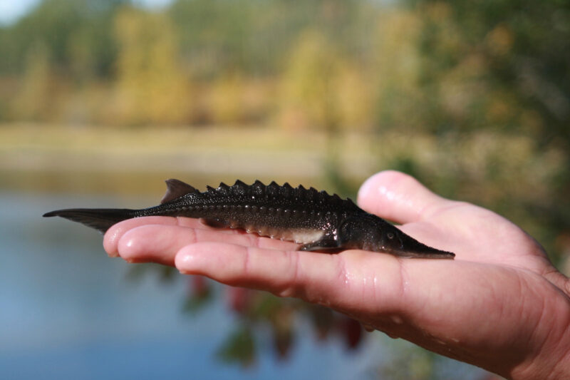

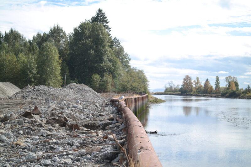
The Upper Fraser Fisheries Conservation Alliance and Carrier Sekani First Nations will work with governments and communities to build a weir on the Endako River. After constructing the weir, their team will monitor water flows and mitigate de-watering during low flows to protect the spawning habitat of important Chinook and Kokanee salmon populations. (Photo: Picture BC / Flickr)
View map of BC's Natural Resource District.