
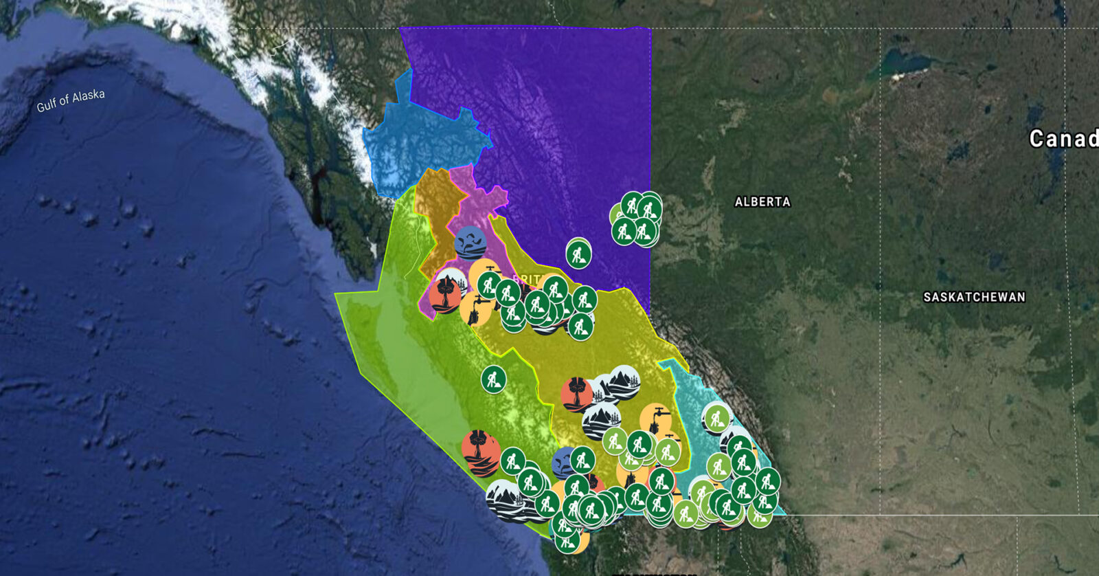
A full list of projects is now available as an interactive map, on Airtable, as a list (pdf), and as a Google Earth map file (kmz).
Fraser Basin Council is collaborating with farmers and ranchers to restore critical salmon and trout habitat along Horsefly River. Project activities include installing riparian and livestock fencing, stabilizing banks, constructing channels, and planting native species in riparian zones. This project supports 13 jobs. (Photo: Adarshana Thapa / REFBC)
View map of BC's Natural Resource District.
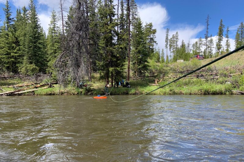
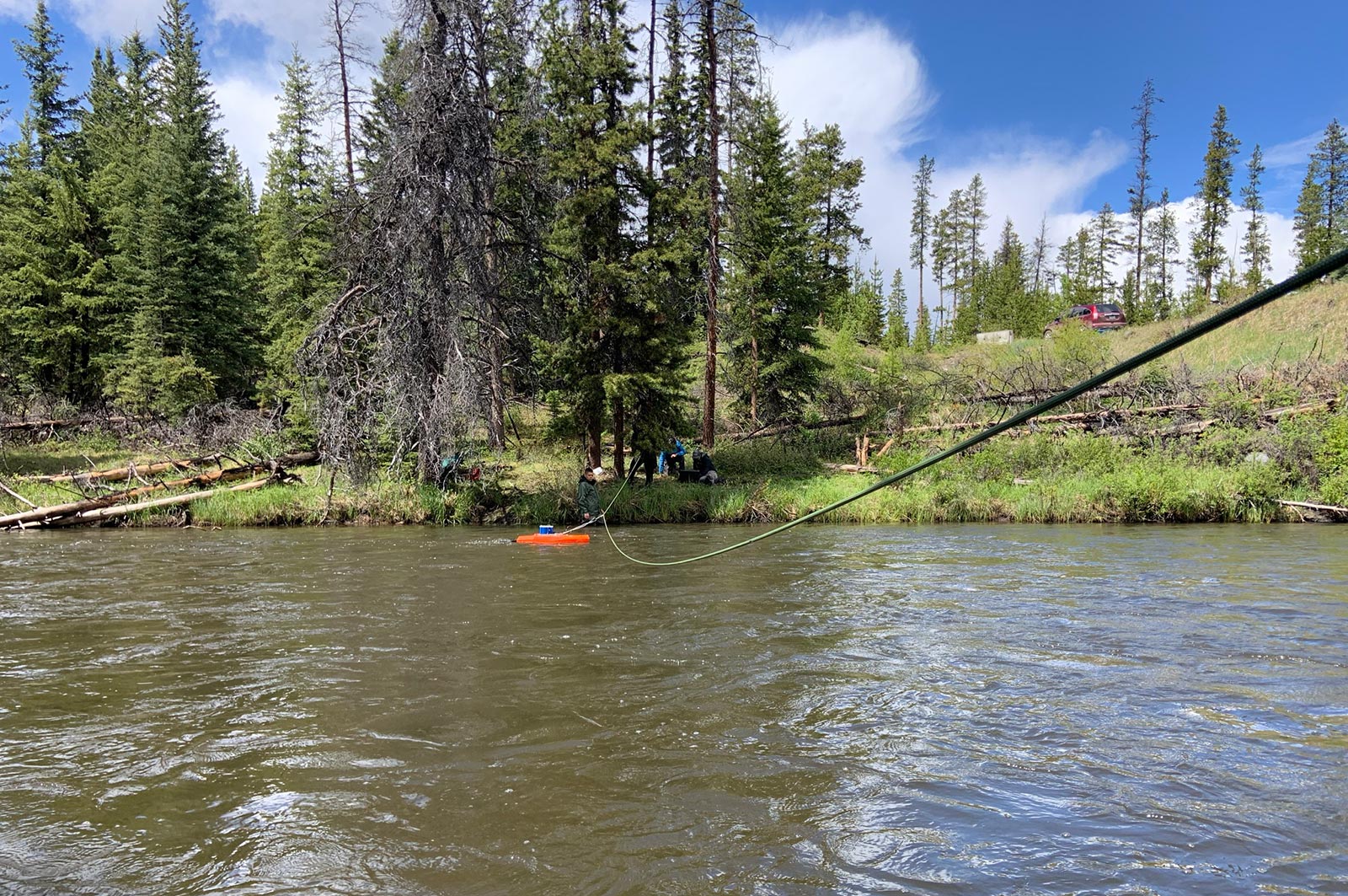
Tŝilhqot’in National Government is increasing First Nations' water management and analysis capacity by implementing a new data management portal to centralize, analyze, and share up-to-date water quality and quantity data. Hydrometric stations will be repaired and new ones installed to expand monitoring data collection. This project, which supports 17 jobs, aims to equip First Nations decision-makers with the information needed to prioritize projects related to ecological and forestry recovery, climate change resilience, and flood and drought mitigation. (Photo: Tŝilhqot’in National Government)
Brochure: Tŝilhqot'in National Government: Water Quality & Quantity Monitoring Program
View map of BC's Natural Resource District.
 View Details
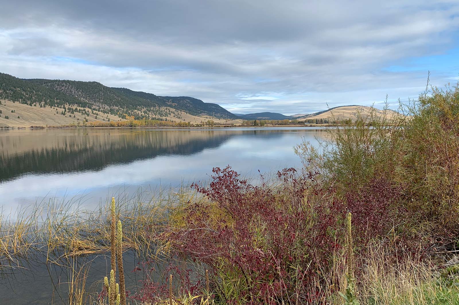
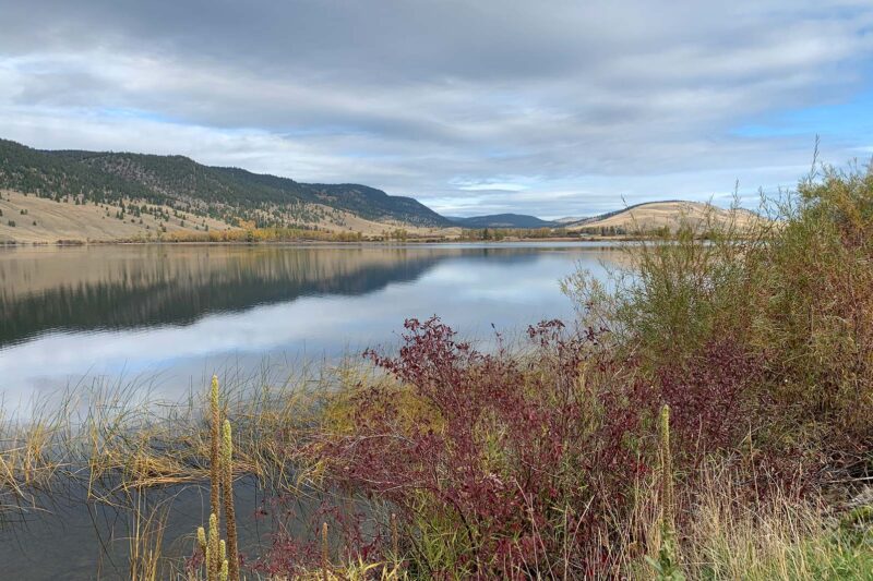
Fraser Basin Council is restoring grasslands in the Cariboo-Chilcotin region to mitigate the impacts of forest encroachment on wildlife habitat, biodiversity, and livestock grazing. This project will support at least nine jobs. (Photo: Stephanie Butler / REFBC)
View map of BC's Natural Resource District.
 View Details
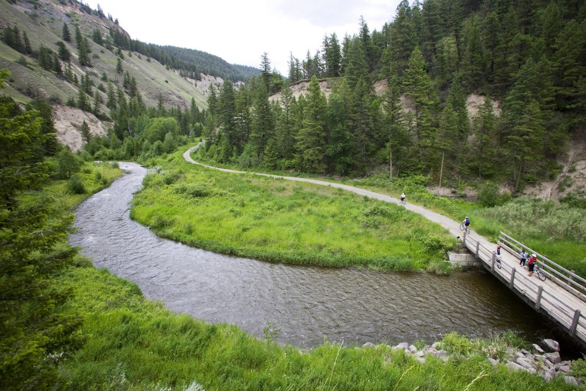
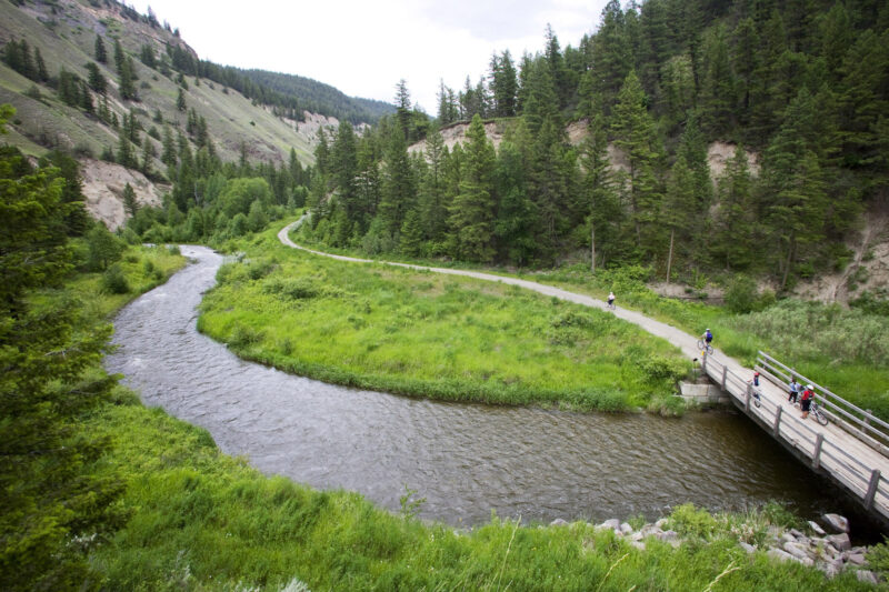
Ducks Unlimited is collaborating with ranch owners and First Nations to rebuild interconnected wetland habitats at 148 Mile Marshes. This project will update aging water control infrastructure and will support 13 jobs. (Photo: Picture BC / Flickr)
View map of BC's Natural Resource District.