
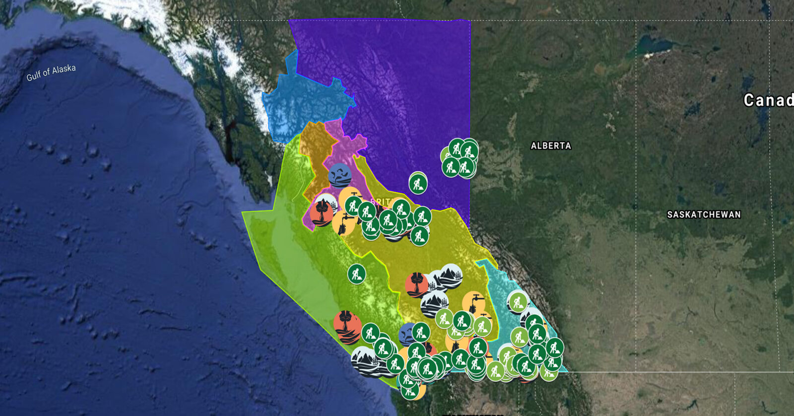
A full list of projects is now available as an interactive map, on Airtable, as a list (pdf), and as a Google Earth map file (kmz).
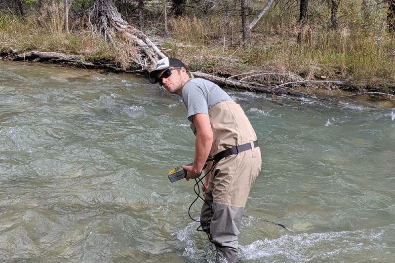
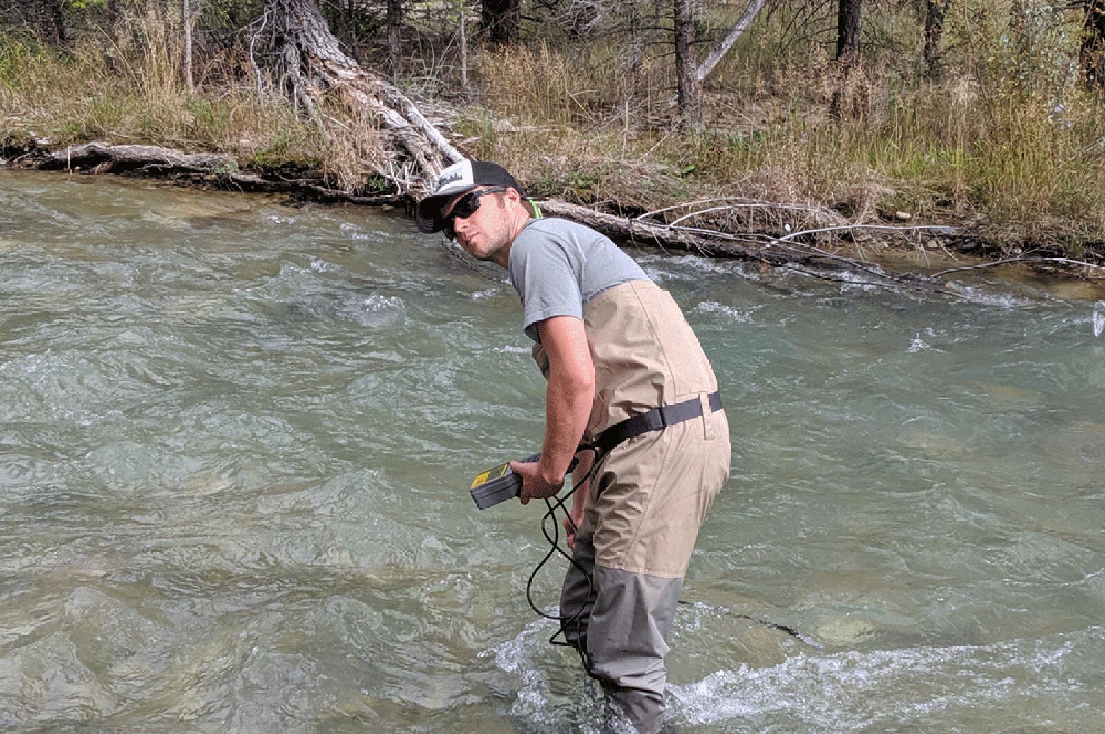
Living Lakes Canada partnered with the Columbia Wetlands Stewardship Partners to conduct site investigations on select wetlands in the Upper Columbia River and adjacent Columbia Wetlands to identify vulnerable areas in need of restoration work. Activities included analyzing shallow groundwater levels, collecting morphologic and meteorological data, surveying beaver abundance, and wetlands water level and temperature monitoring at over 40 sites. This project supports six jobs. (Photo: Living Lakes Canada)
View map of BC's Natural Resource District.
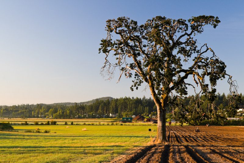
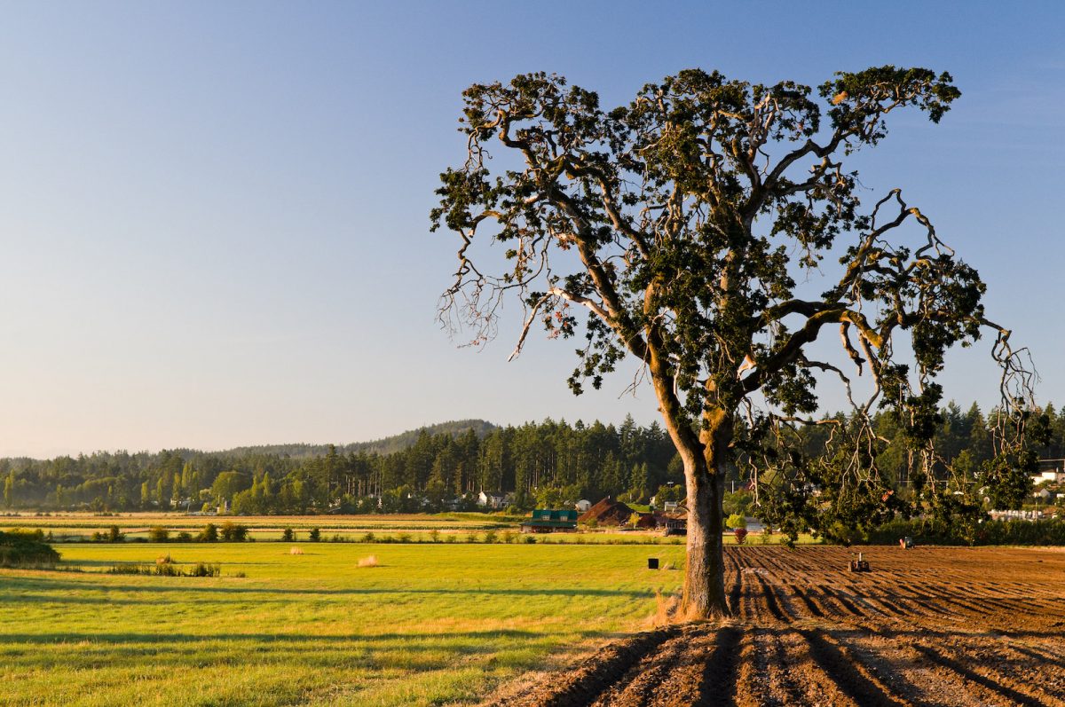
BC Investment Agriculture Foundation is working with farmers and First Nations across the province to protect and preserve critical riparian habitats on agricultural land. The Farmland Advantage program helps farmers identify natural values on their land and provides the tools needed to conserve them. This project will support up to 48 jobs. (Photo: Picture BC / Flickr)
View map of BC's Natural Resource District.
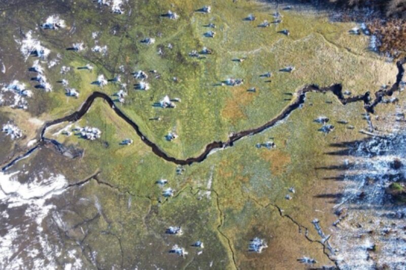
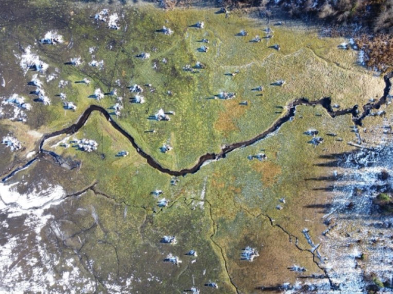
The City of Trail is restoring 901 hectares of wetlands, floodplains, and tributaries in Cambridge Creek Reservoir and Violin Lake by decommissioning four dams and rebuilding the surrounding wetlands and streams. By undertaking this large-scale work, the City will improve the health of the watershed and make the site safer for the public. This project supports 31 jobs. (Photo: City of Trail)
View map of BC's Natural Resource District.
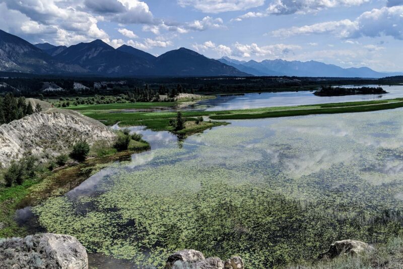
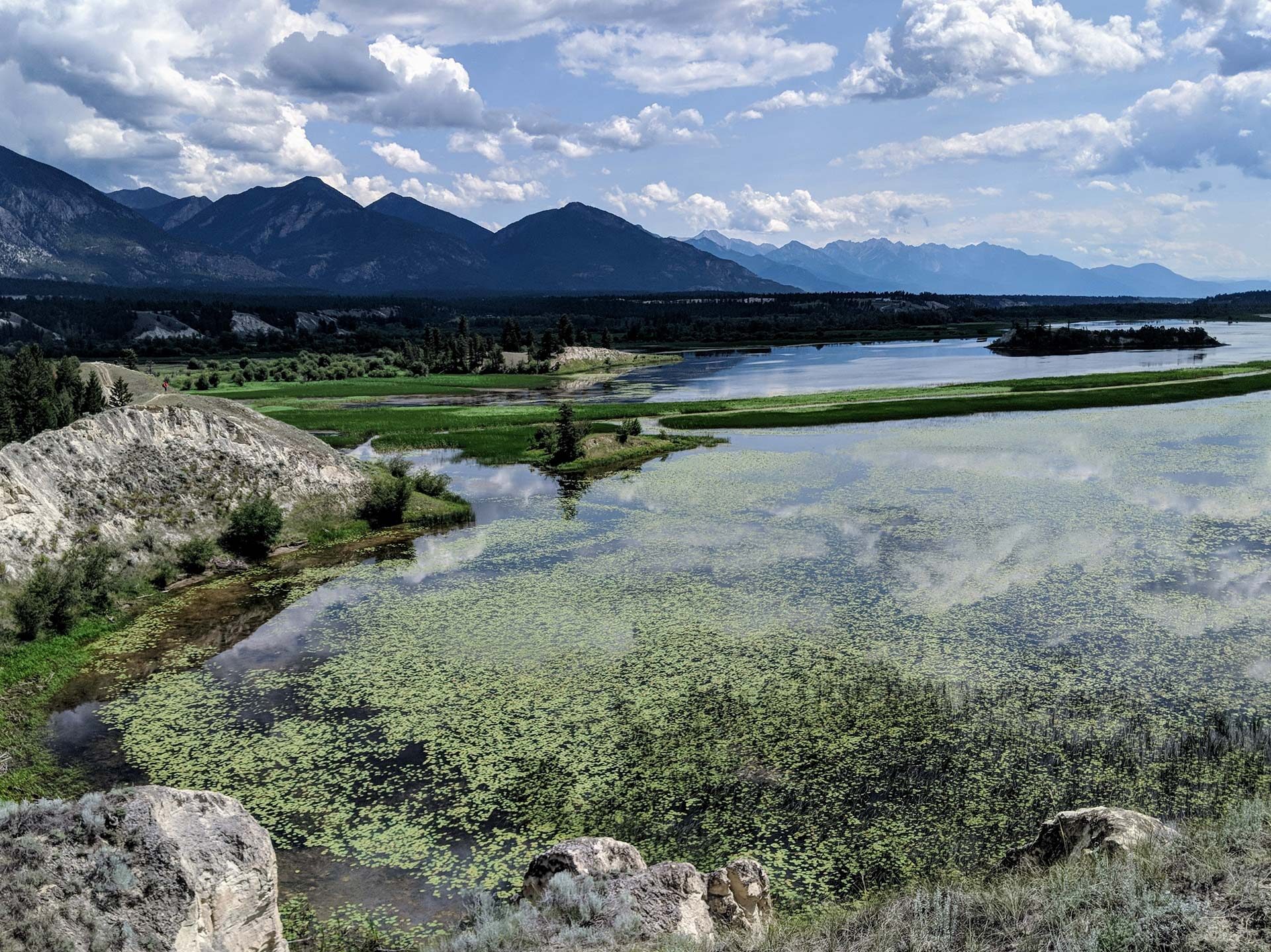
West Kootenay Community EcoSociety is working with First Nations and communities in Central Kootenay to assess natural assets and develop nature-based plans for two key watersheds. WKCES will prepare a plain language risk and opportunity analysis, and will develop an interactive map describing the current condition of the watersheds for residents who rely on them for drinking water. This project will support up to 21 jobs. (Photo: Nick Davies / REFBC)
View map of BC's Natural Resource District.
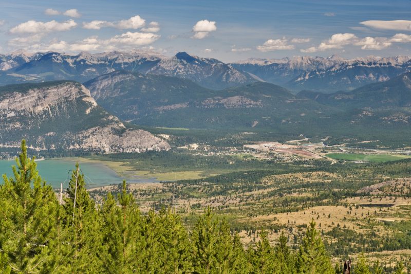
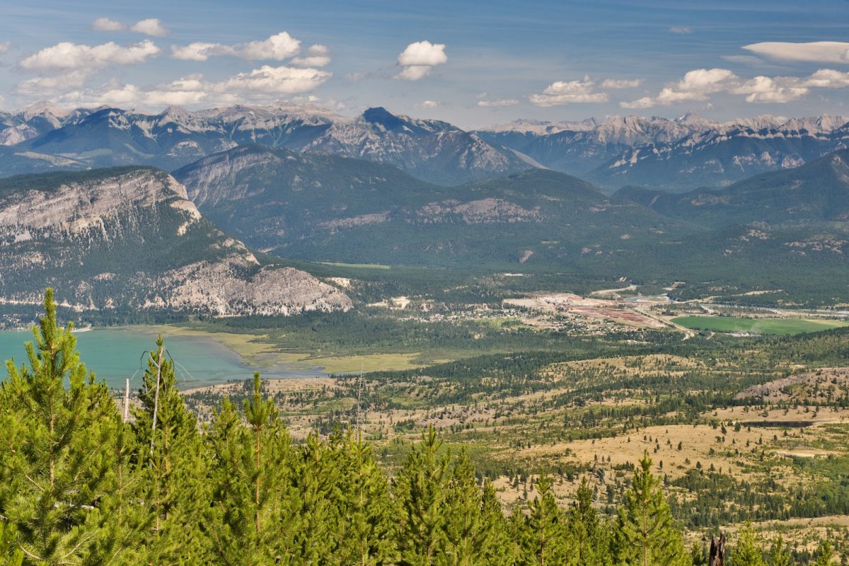
BC Wildlife Federation is restoring amphibian habitat in wetlands and riparian areas that have been impacted by cattle grazing. This project will support up to 11 jobs. (Photo: Picture BC / Flickr)
View map of BC's Natural Resource District.
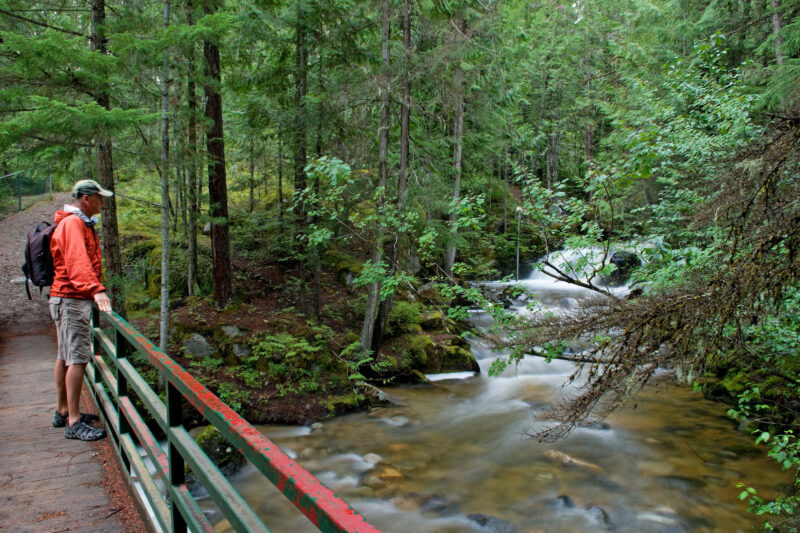
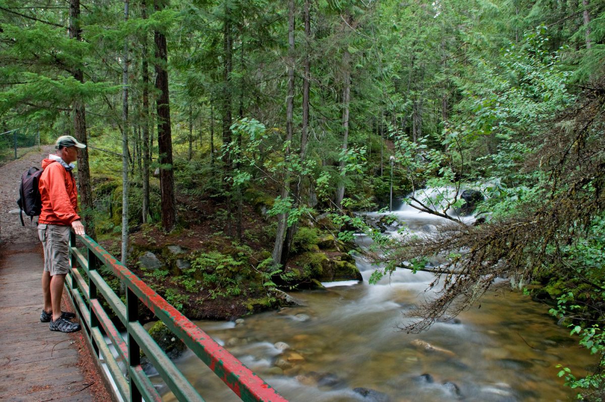
The Elk River Alliance's Community-Based Water Monitoring program will gather data to monitor Elk River tributaries that are critical habitat for wildlife. By collecting data and identifying trends in ecosystem health, the Elk River Alliance will be able to create an early warning system to identify the effects of climate change and land use decisions. This project will support the training and certification of up to 15 people. (Photo: Picture BC / Flickr)
View map of BC's Natural Resource District.
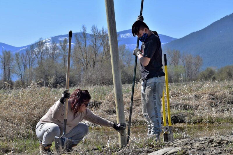
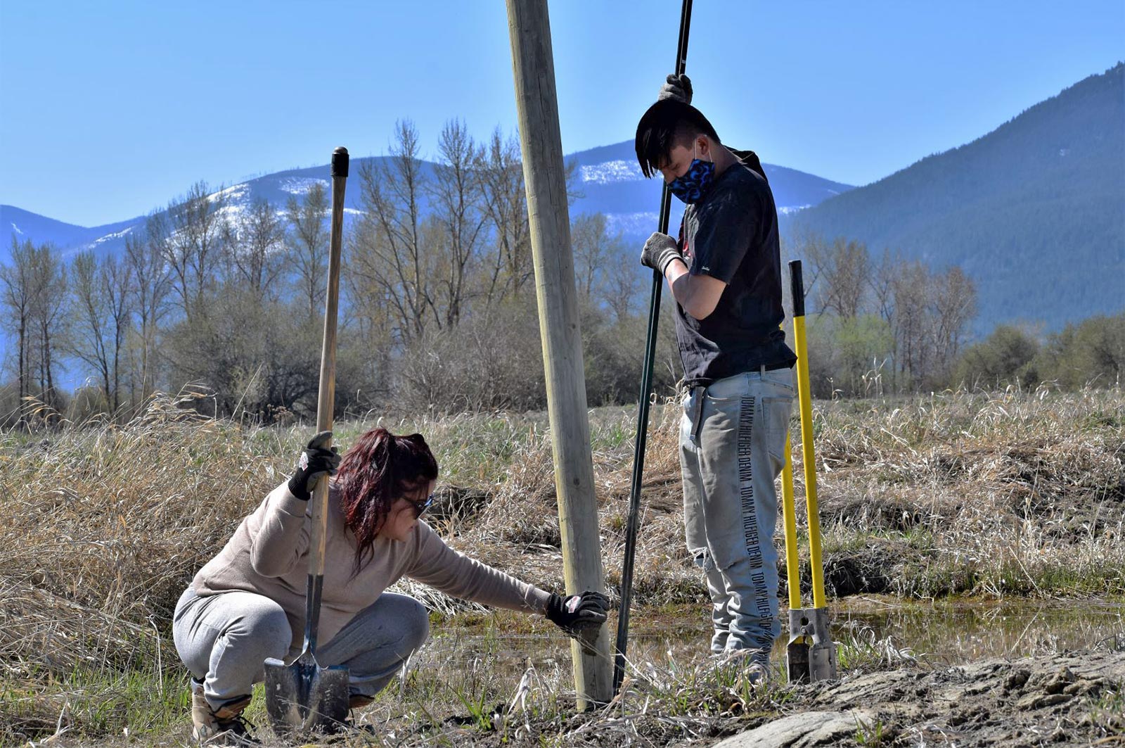
Lower Kootenay Band is restoring naturally appearing and functioning wetlands and floodplains by filling ditches, removing reed canary grass, and recontouring altered wetland basins along the Kootenay River. This project, which supports 11 jobs, uses innovative techniques that will reduce the need to maintain and artificially fill the wetlands. (Photo: Cheyenne Bergenhenegouwen / BCWF)
View map of BC's Natural Resource District.
Elk River Alliance is implementing stormwater treatment practices to preserve wetland and riparian areas in the Elk Valley. This project, which uses a combination of stewardship activities and public education, will support up to three jobs. (Photo: Andy Fitzsimon / Unsplash)
View map of BC's Natural Resource District.
 View Details
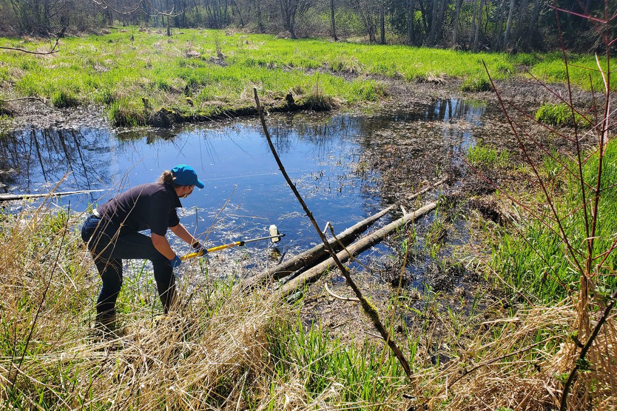
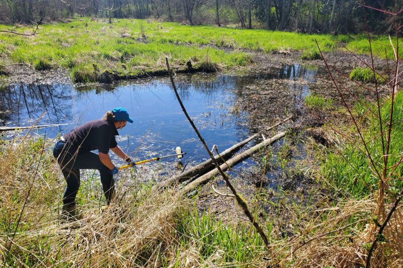
BC Wildlife Federation is collaborating with First Nations and conservation organizations to restore, stabilize, and monitor BC's wetlands. These activities will improve wetland inventories, management, and decision-making. This project will support over 100 jobs and will provide training for workers in Wetlands Ecosystem Enhancement Protocol and Wetland Inventory. (Photo: Langley Environmental Partners Society)
View map of BC's Natural Resource District.
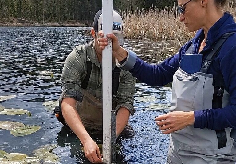
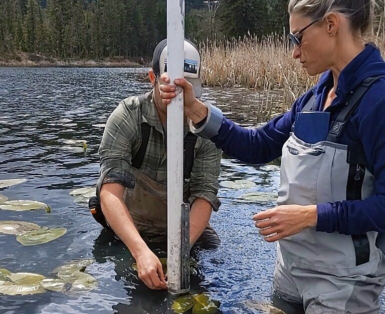
The purpose of this project is to ensure that Indigenous and non-Indigenous communities and decision-makers in the Upper Canadian Columbia Basin will have the necessary knowledge, skills and tools to adapt and mitigate climate change impacts by better understanding water resources in their respective communities. The understanding of diminished water supply, drought and flood events assist decisions impacting community and ecosystem resilience as well as for the food security, ecosystem health and economic vitality of these communities. This project will help transition towards a green economy by training indigenous and non indigenous youth, and people displaced or transitioning from other impacted sectors. See the Project Map for locations and details of the work supported by this project. This project will support 25 jobs and training. (Photo: Living Lakes Canada)
View map of BC's Natural Resource District.


Slocan River Streamkeepers will work with local partners to restore riparian areas within the Slocan Valley. (Photo: Picture BC / Flickr)
View map of BC's Natural Resource District.
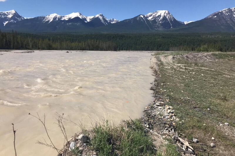
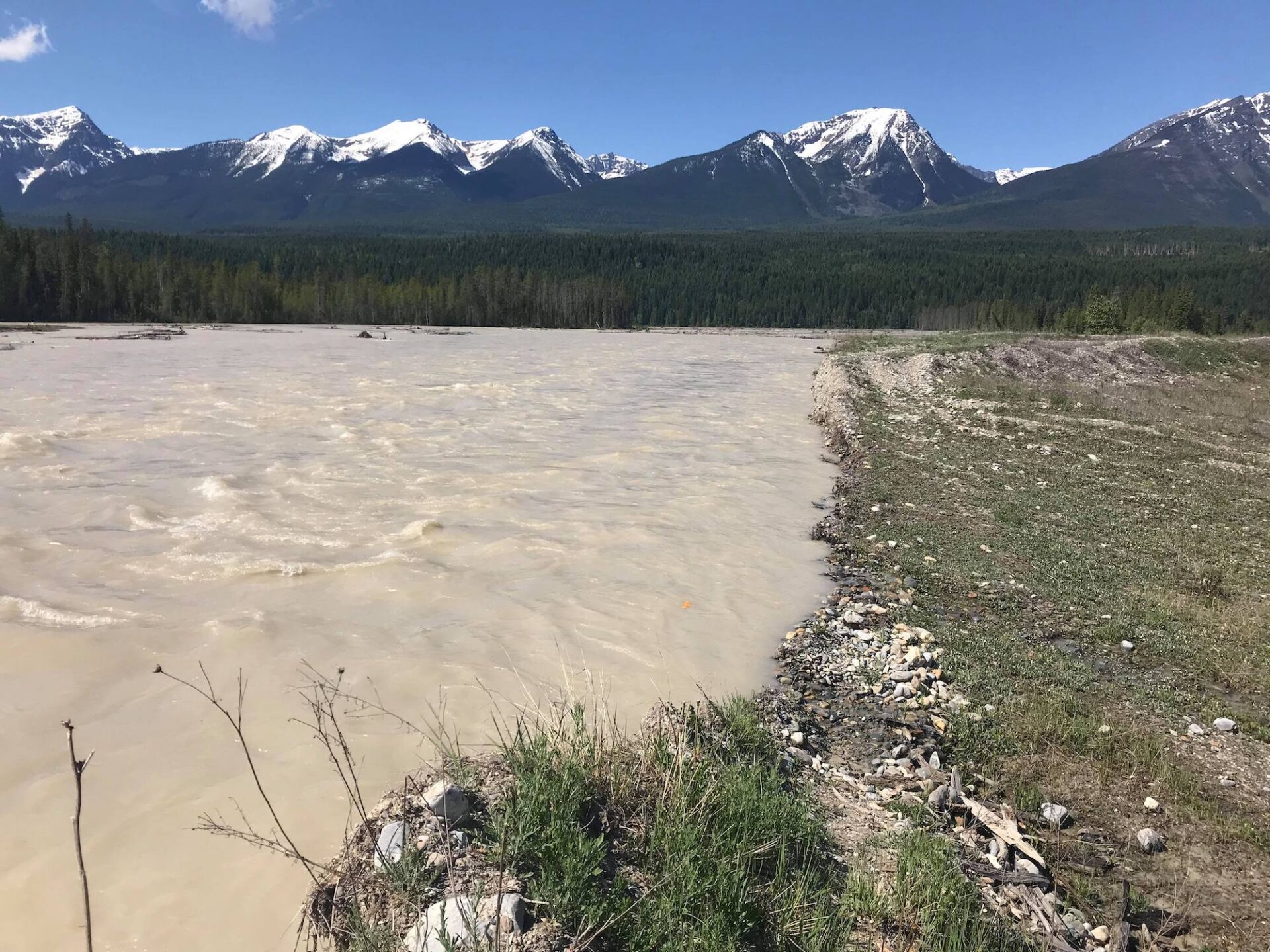
Golden District Rod and Gun Club will rehabilitate disturbed areas within the Blaeberry River watershed to promote wildlife habitat recovery. The Club will work with First Nations and conservation organizations to plan the project and undertake restoration work. This project will create at least 13 jobs. (Photo: Golden District Rod and Gun Club)
View map of BC's Natural Resource District.