
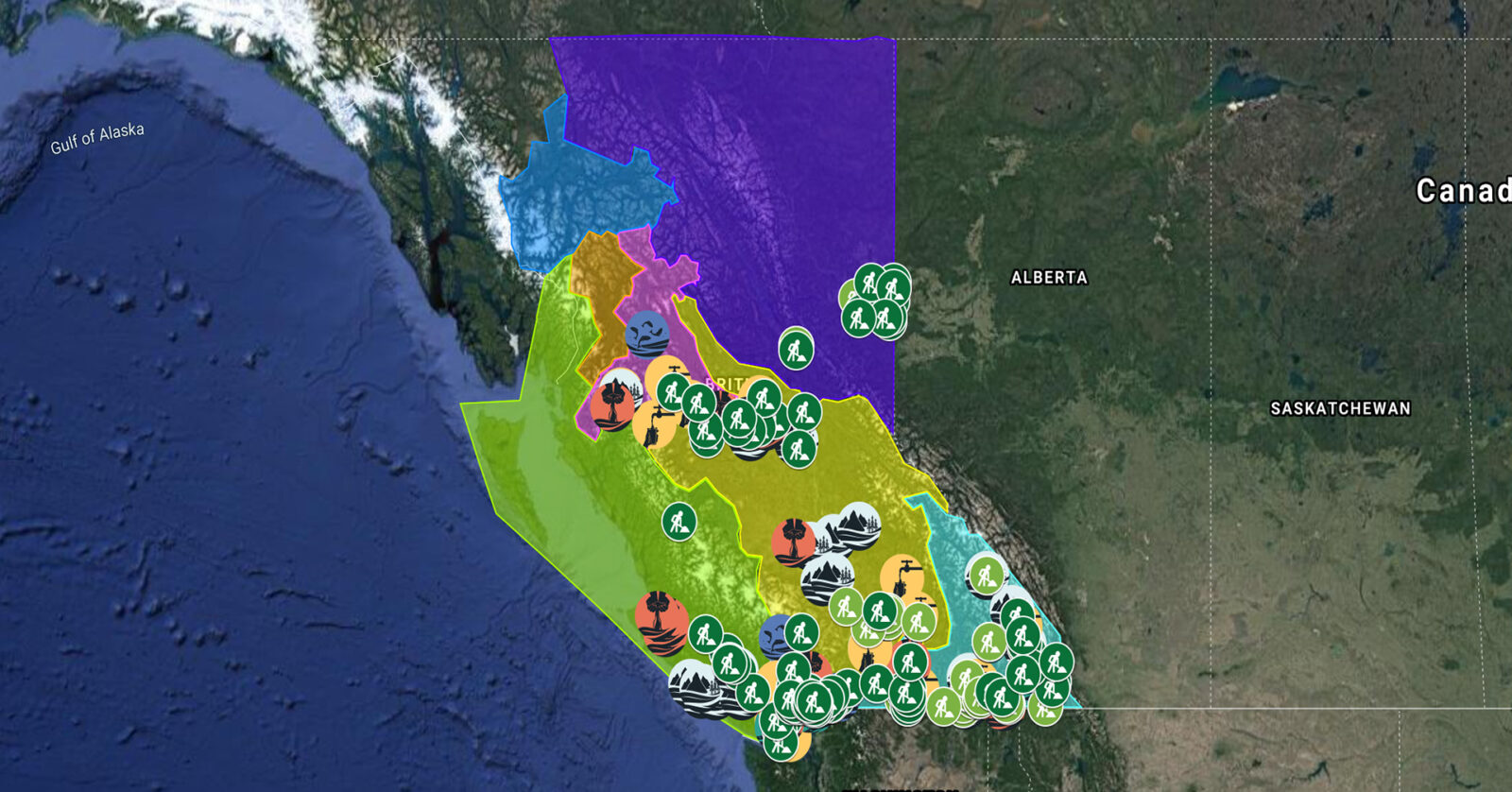
A full list of projects is now available as an interactive map, on Airtable, as a list (pdf), and as a Google Earth map file (kmz).
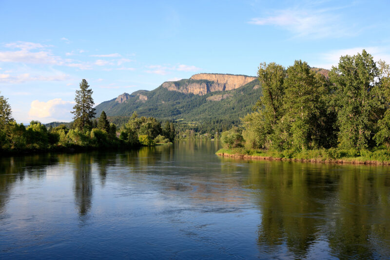
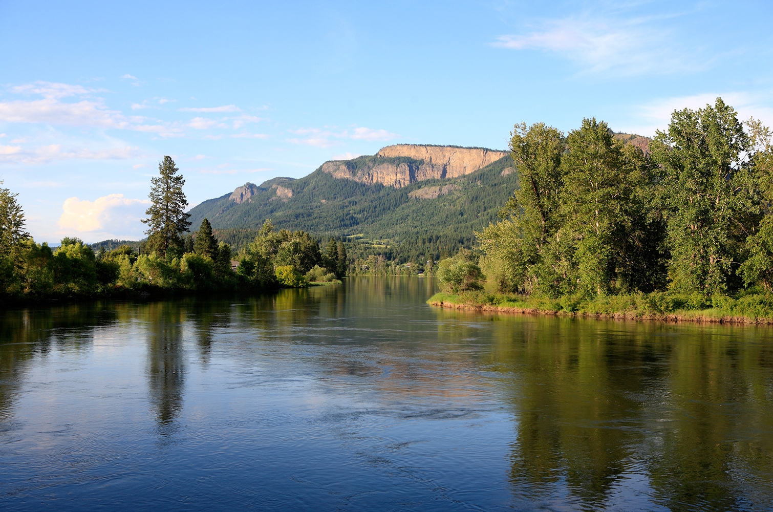
Yucwmenlúcwu (Caretakers of the Land) LLP is using sensitive habitat inventory mapping to establish baseline conditions of the Salmon River. This data will be used to further the long-term goal of reversing the historical trend pertaining to fish habitat degradation marked by lost riparian vegetation, eroding streambanks, high summer temperatures, low water levels, sediment buildup, declining salmon stocks and other issues in the Salmon River. This project supports eight jobs. (Photo: Picture BC / Flickr)
View map of BC's Natural Resource District.
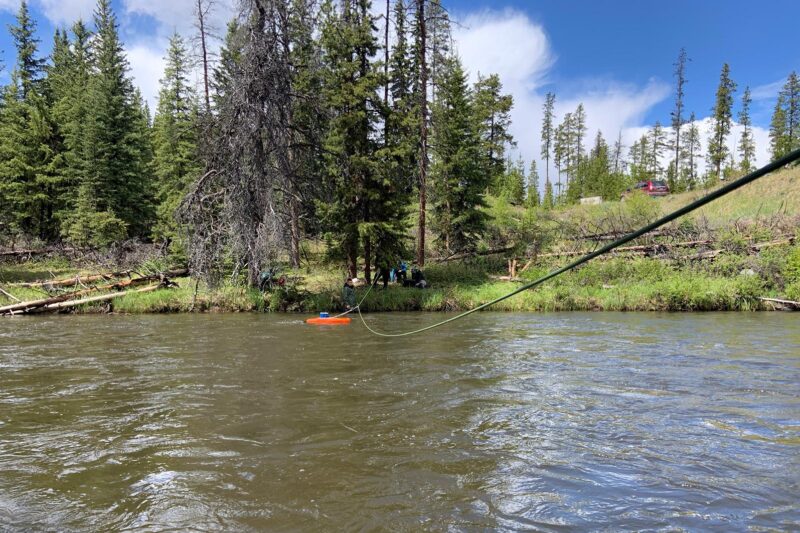
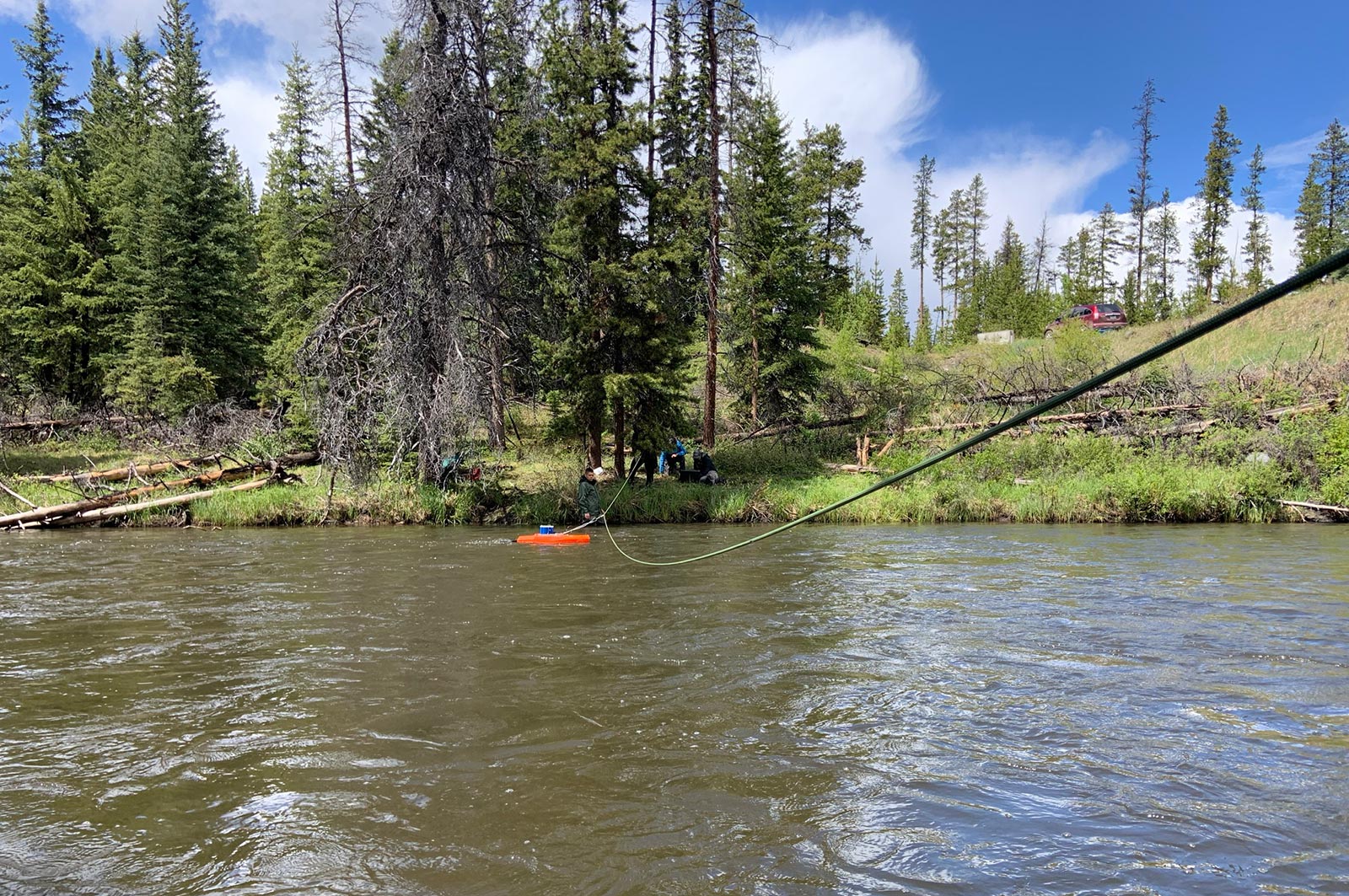
Tŝilhqot’in National Government is increasing First Nations' water management and analysis capacity by implementing a new data management portal to centralize, analyze, and share up-to-date water quality and quantity data. Hydrometric stations will be repaired and new ones installed to expand monitoring data collection. This project, which supports 17 jobs, aims to equip First Nations decision-makers with the information needed to prioritize projects related to ecological and forestry recovery, climate change resilience, and flood and drought mitigation. (Photo: Tŝilhqot’in National Government)
Brochure: Tŝilhqot'in National Government: Water Quality & Quantity Monitoring Program
View map of BC's Natural Resource District.
 View Details
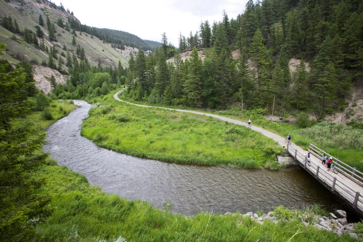
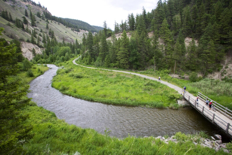
Ducks Unlimited is collaborating with ranch owners and First Nations to rebuild interconnected wetland habitats at 148 Mile Marshes. This project will update aging water control infrastructure and will support 13 jobs. (Photo: Picture BC / Flickr)
View map of BC's Natural Resource District.
 View Details
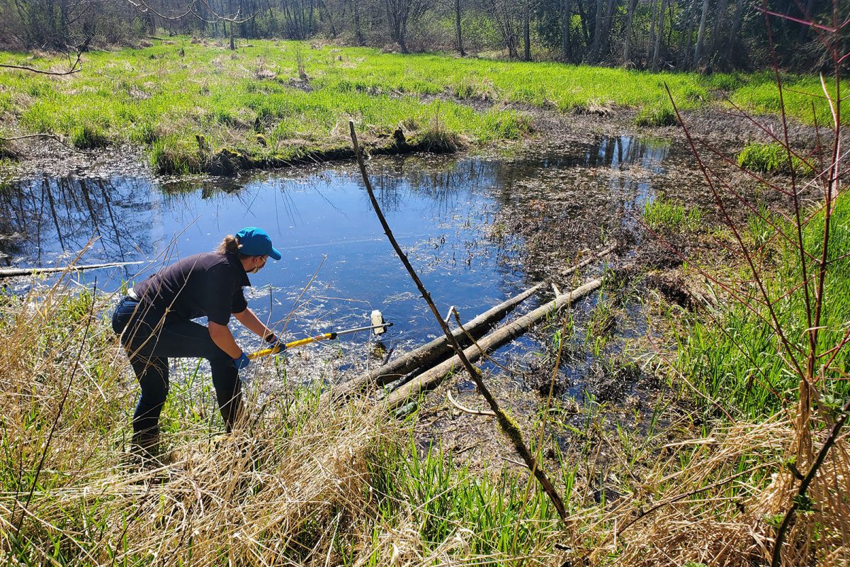
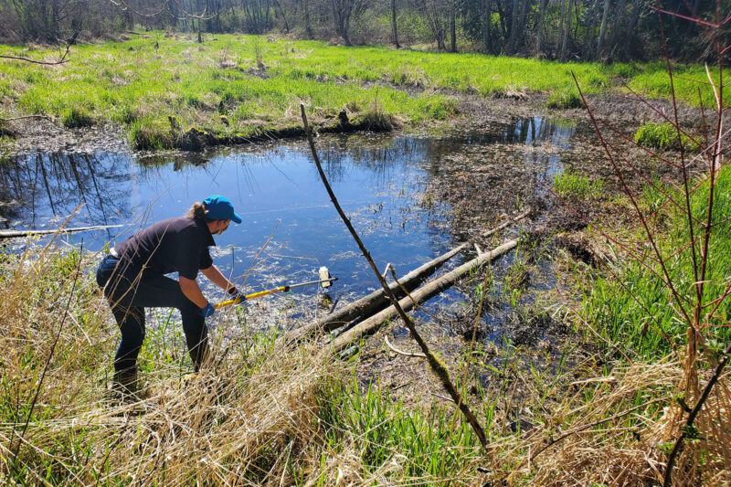
BC Wildlife Federation is collaborating with First Nations and conservation organizations to restore, stabilize, and monitor BC's wetlands. These activities will improve wetland inventories, management, and decision-making. This project will support over 100 jobs and will provide training for workers in Wetlands Ecosystem Enhancement Protocol and Wetland Inventory. (Photo: Langley Environmental Partners Society)
View map of BC's Natural Resource District.
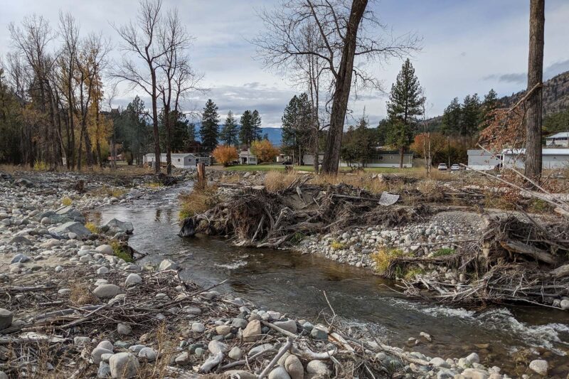
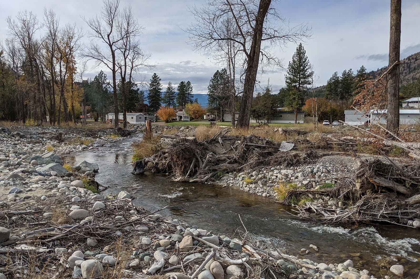
Scw'exmx Tribal Council is conducting water monitoring to track agricultural effluent along the Nicola and Coldwater Rivers. Communities and decision makers will use this data to understand how water quality may be impacted by agricultural activity during the spring freshet. This project will support two jobs. (Photo: Noémi Pomerleau / REFBC)
View map of BC's Natural Resource District.
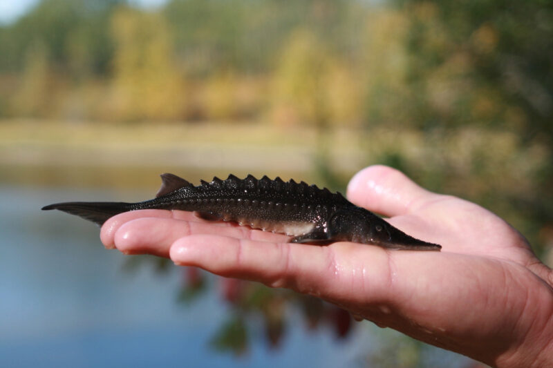
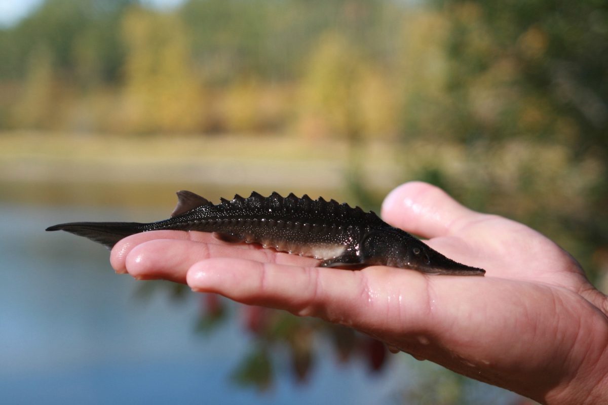
The Upper Fraser Fisheries Conservation Alliance and Carrier Sekani First Nations will work with governments and communities to build a weir on the Endako River. After constructing the weir, their team will monitor water flows and mitigate de-watering during low flows to protect the spawning habitat of important Chinook and Kokanee salmon populations. (Photo: Picture BC / Flickr)
View map of BC's Natural Resource District.
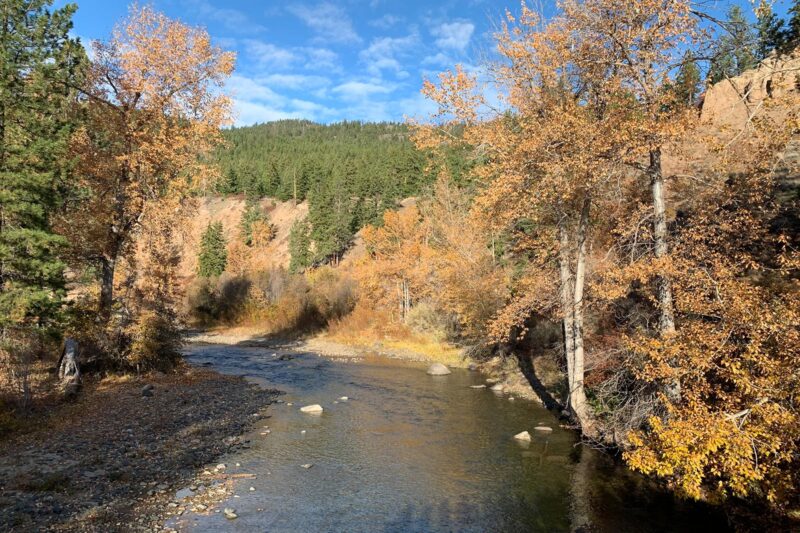
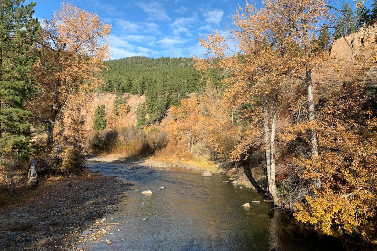
Fraser Basin Council is restoring fish habitat in the Nicola River by stabilizing sediment wedges impacted by flooding and building beaver dam analogues to moderate water flows and temperature. This project, which supports 11 jobs, complements the work underway by the Scw’exmx Tribal Council and Nicola Watershed Governance Project. (Photo: Stephanie Butler / REFBC)
View map of BC's Natural Resource District.
Upper Fraser Fisheries Conservation Alliance, in partnership with Carrier Sekani First Nations, will apply Yinka Dene Water Law (YDWL) to assess and implement ecosystem restoration and protection projects in the Nechako watershed. YDWL is the policy that governs water use and stewardship obligations in Nadleh Whut’en and Stellat’en territories. This project supports up to 12 jobs.
View map of BC's Natural Resource District.
Upper Fraser Fisheries Conservation Alliance is implementing a riparian and floodplain ecosystem restoration project on the Chilako River.
View map of BC's Natural Resource District.
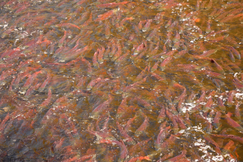
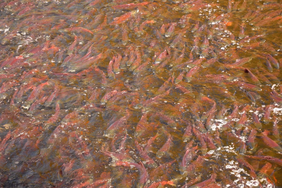
Nechako Environment and Water Stewardship Society is restoring habitats, riparian areas, and water quality to support healthy populations of salmonids. Activities include replacing culverts with fish-friendly flow infrastructure, stabilizing stream banks, and minimizing livestock access to streambanks. This project will focus on six sites across critical tributaries of the Nechako Watershed and will support up to 20 jobs. (Photo: Picture BC / Flickr)
View map of BC's Natural Resource District.
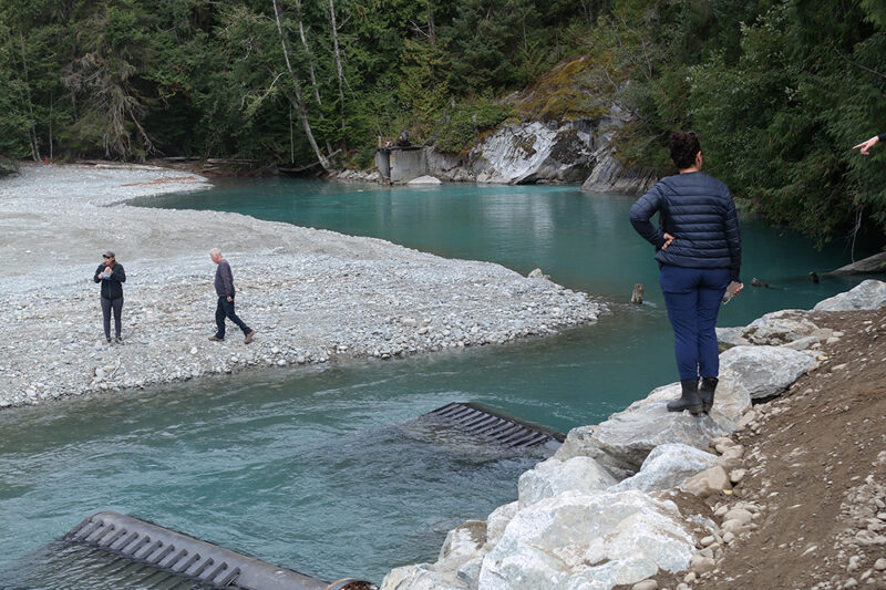
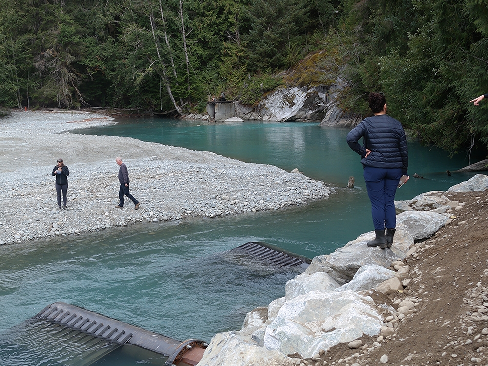
World Wildlife Fund Canada is supporting Katzie First Nation in the next phase of restoration work on four critical salmon habitats in the Upper Pitt watershed. This work includes installing intakes, creating new channels for smolt habitat, reconnecting historical hydrological systems, and constructing bio-berms to protect spawning habitat. This project supports 28 jobs. (Photo: Claire Sauvage-Mar / WatershedsBC)
View map of BC's Natural Resource District.


Upper Fraser Fisheries Conservation Alliance, in partnership with Carrier Sekani First Nations, will develop, implement, and manage a First Nations-staffed water monitoring and data management system. Once operational, the system will be used to centralize, analyze, and share up-to-date water monitoring data collected on the Endako River to support informed decision-making. This project supports 18 jobs.
View map of BC's Natural Resource District.
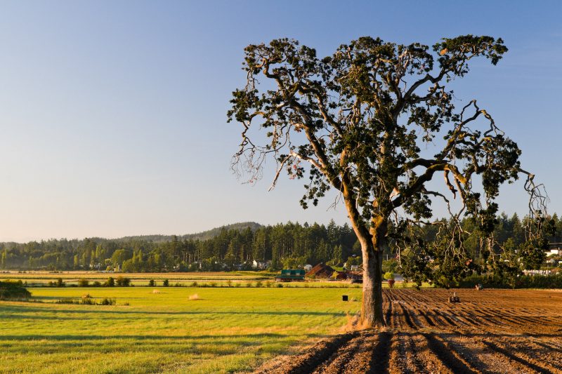
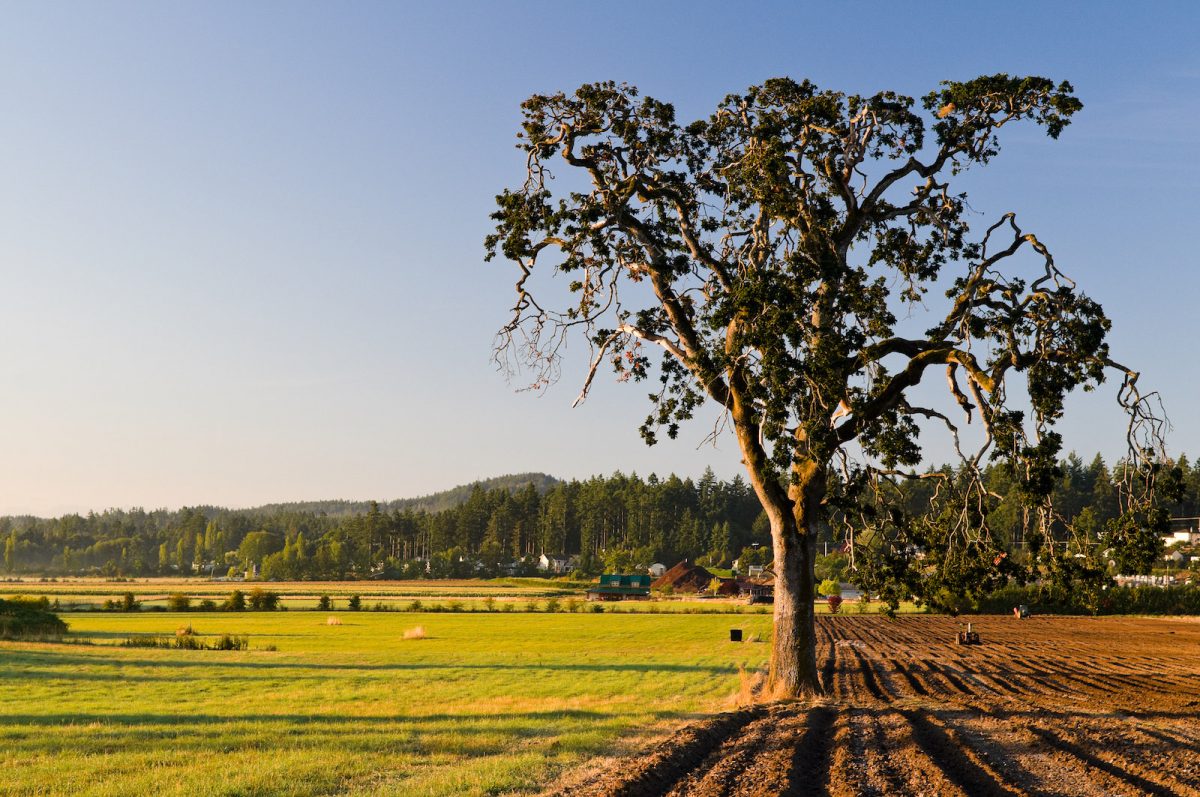
BC Investment Agriculture Foundation is working with farmers and First Nations across the province to protect and preserve critical riparian habitats on agricultural land. The Farmland Advantage program helps farmers identify natural values on their land and provides the tools needed to conserve them. This project will support up to 48 jobs. (Photo: Picture BC / Flickr)
View map of BC's Natural Resource District.
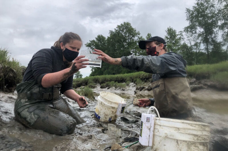
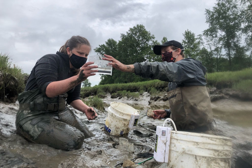
Ducks Unlimited is completing planning and evaluation to restore marsh habitat in Alaksen National Wildlife Area, part of the Fraser River Delta. Planning includes stakeholder engagement on draft project concept, archaeological impact assessment, salmon monitoring, and invasive plant management. This project will support four jobs. (Photo: Ducks Unlimited)
View map of BC's Natural Resource District.
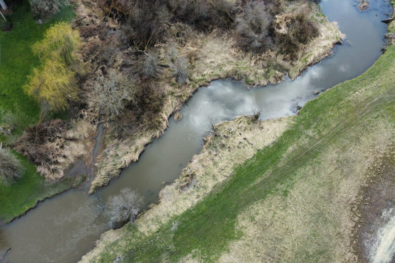
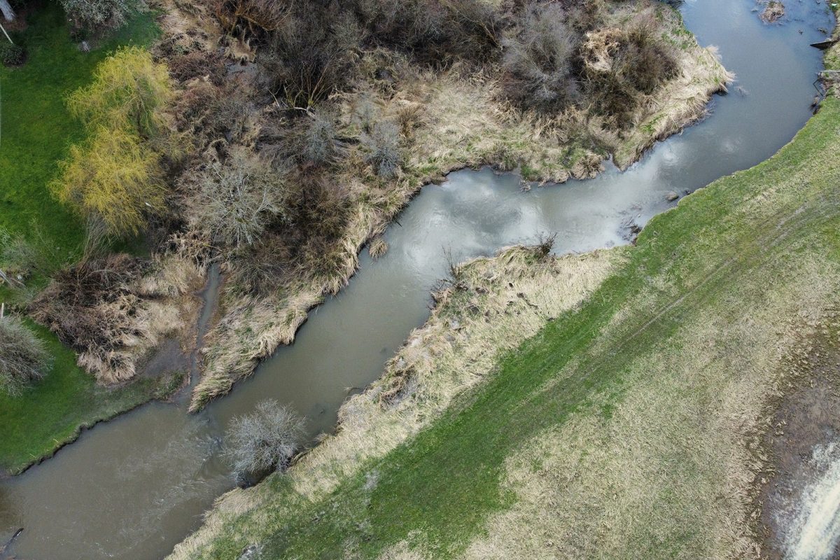
Rivershed Society of BC is piloting the development of a foodland corridor that restores sustainable food systems throughout the Fraser watershed. This project is being implemented in partnership with local First Nations, farmers, and ranchers. (Photo: Nerv Productions)
View map of BC's Natural Resource District.
 View Details
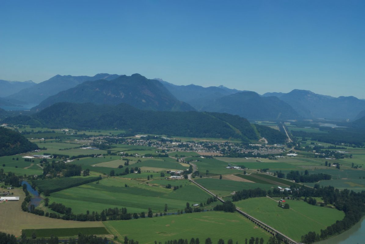
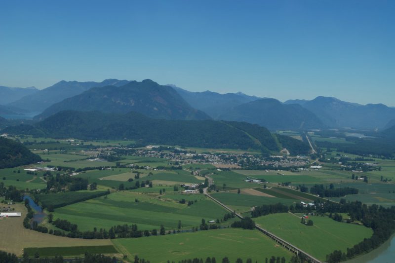
District of Kent is replacing a culvert on the Lower Agassiz slough to open the waterway for fish passage. A new fish-friendly flood gate will make valuable habitat accessible to overwintering juvenile salmon and other fish species. This project will support at least 14 jobs. (Photo: Picture BC / Flickr)
View map of BC's Natural Resource District.
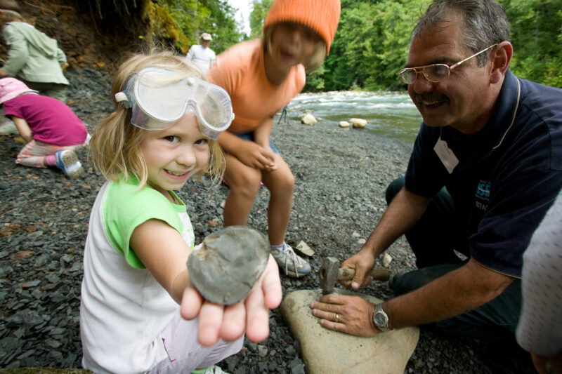
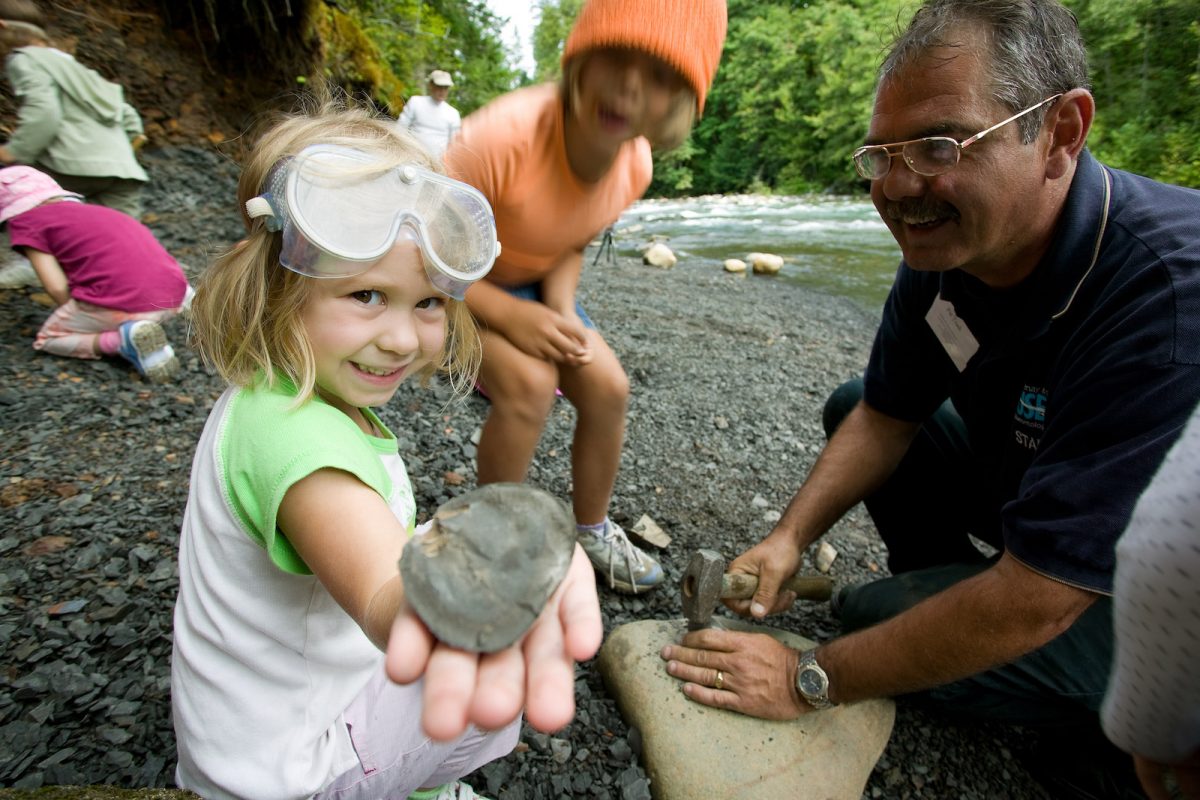
School District No. 91 (Nechako Lakes) is expanding its experiential summer conservation employment program between UNBC and Ft. St. James Secondary School to employ and train two students in a range of salmon conservation, restoration, and monitoring initiatives being led by the Upper Fraser Fisheries Conservation Alliance, Nechako Environment and Water Stewardship Society, Mid and Upper-Fraser Salmon Conservation Collaborative, and BC Parks. The students will participate in short-term work at multiple sites in the Nechako Watershed, including Nahounli Creek, and will assist with establishing at least one long-term ecological monitoring project in Mt. Pope Provincial Park. This project supports four jobs. (Photo: Picture BC / Flickr)
View map of BC's Natural Resource District.
 View Details
Kwikwetlem First Nation is hiring and training four full-time Resource Guardians, who will enforce conservation regulations, restore environmentally compromised sites, and monitor development activities to protect archaeological, environmental, and cultural assets. This project supports 10 jobs. (Photo: Andy Fitzsimon / Unsplash)
View map of BC's Natural Resource District.
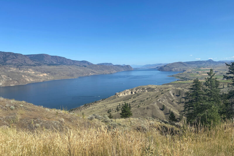
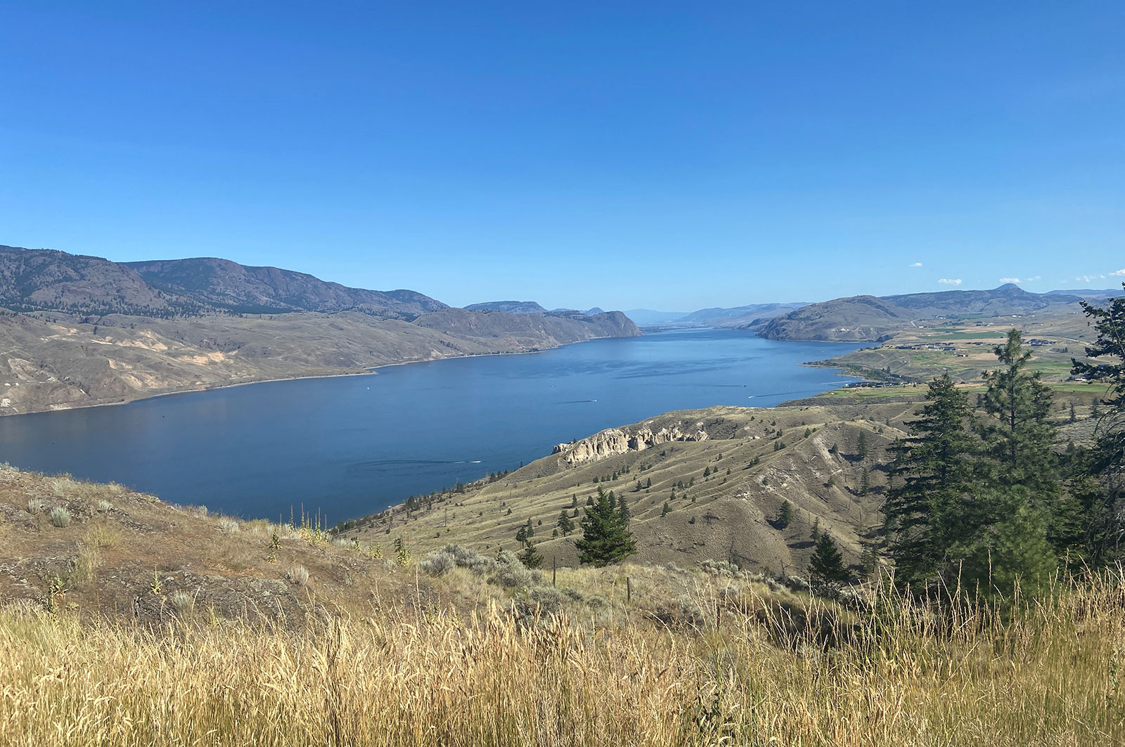
Fraser Basin Council is collaborating with farmers and ranchers to restore critical salmon and trout habitat along Horsefly River. Project activities include installing riparian and livestock fencing, stabilizing banks, constructing channels, and planting native species in riparian zones. This project supports 13 jobs. (Photo: Adarshana Thapa / REFBC)
View map of BC's Natural Resource District.
 View Details
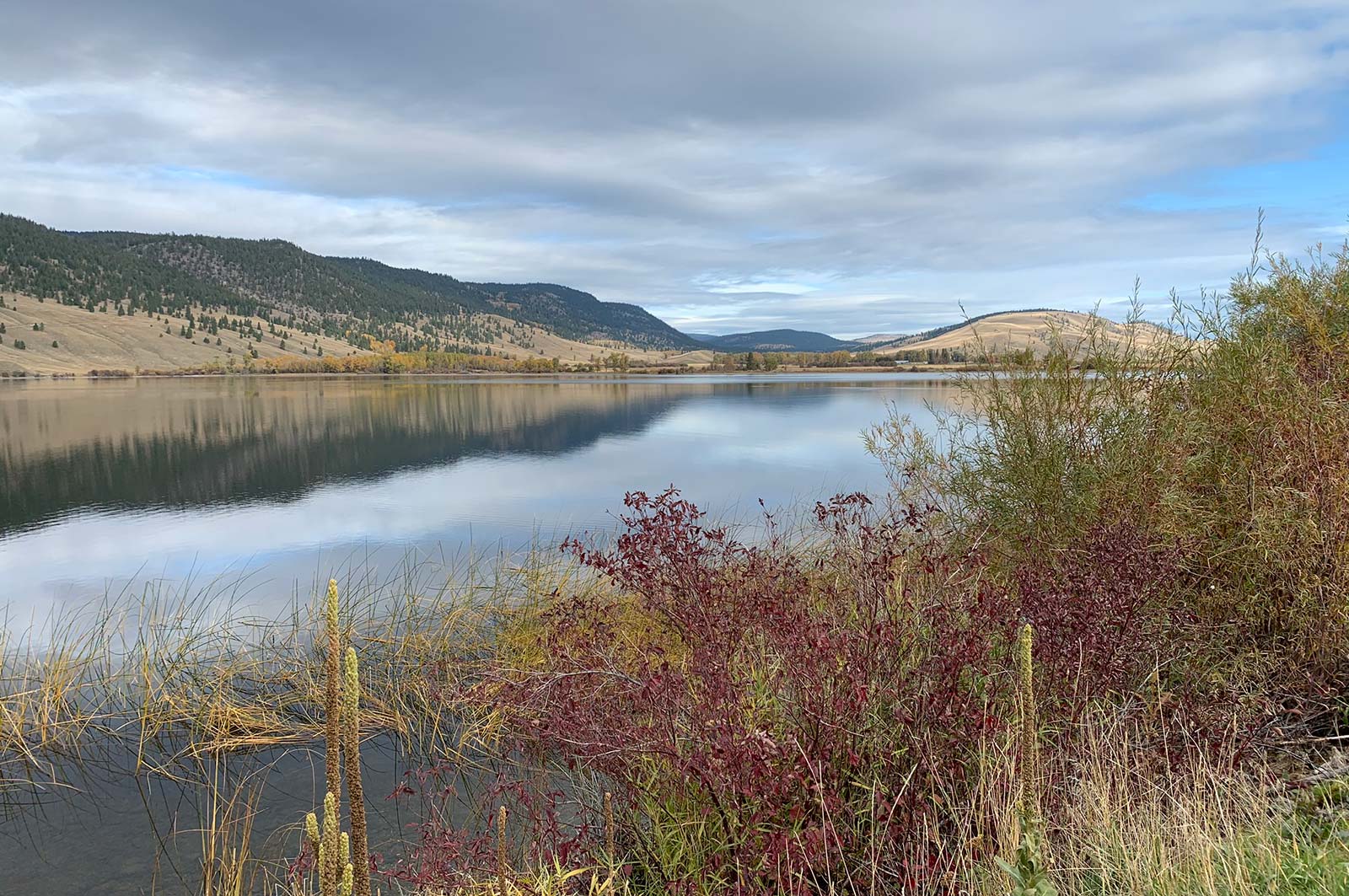
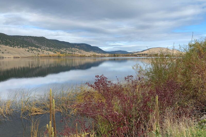
Fraser Basin Council is restoring grasslands in the Cariboo-Chilcotin region to mitigate the impacts of forest encroachment on wildlife habitat, biodiversity, and livestock grazing. This project will support at least nine jobs. (Photo: Stephanie Butler / REFBC)
View map of BC's Natural Resource District.