
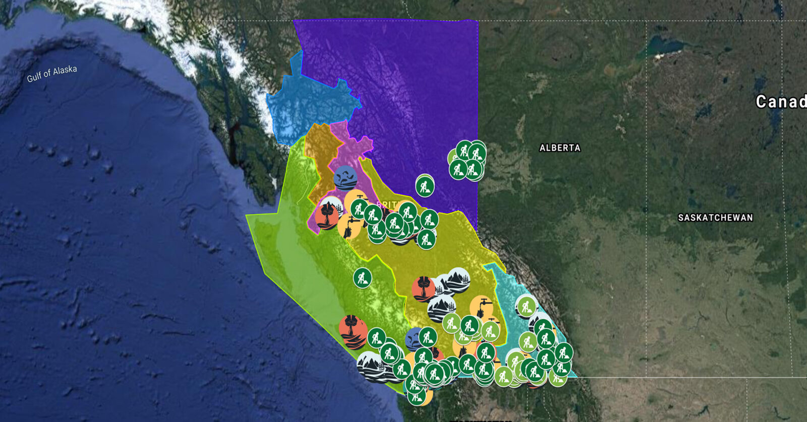
A full list of projects is now available as an interactive map, on Airtable, as a list (pdf), and as a Google Earth map file (kmz).
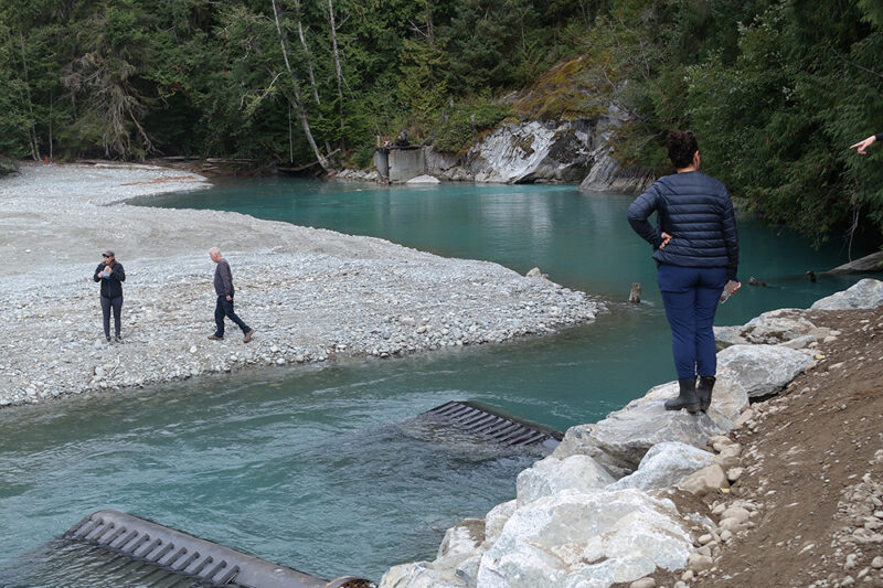
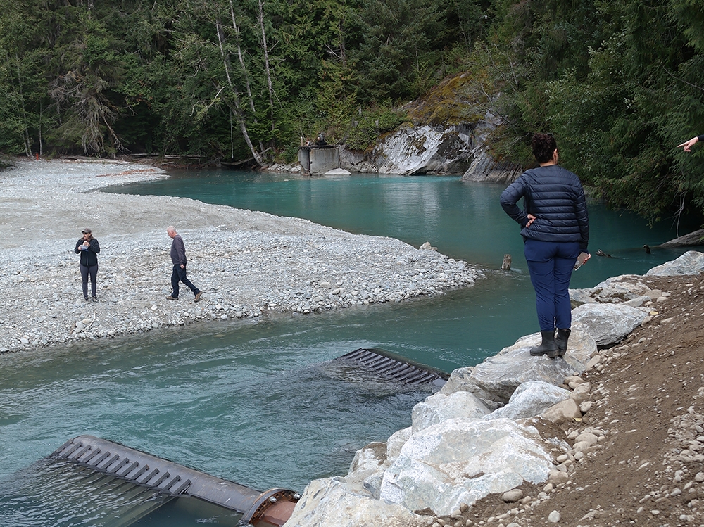
World Wildlife Fund Canada is supporting Katzie First Nation in the next phase of restoration work on four critical salmon habitats in the Upper Pitt watershed. This work includes installing intakes, creating new channels for smolt habitat, reconnecting historical hydrological systems, and constructing bio-berms to protect spawning habitat. This project supports 28 jobs. (Photo: Claire Sauvage-Mar / WatershedsBC)
View map of BC's Natural Resource District.
Upper Fraser Fisheries Conservation Alliance, in partnership with Carrier Sekani First Nations, will develop, implement, and manage a First Nations-staffed water monitoring and data management system. Once operational, the system will be used to centralize, analyze, and share up-to-date water monitoring data collected on the Endako River to support informed decision-making. This project supports 18 jobs.
View map of BC's Natural Resource District.


Upper Fraser Fisheries Conservation Alliance, in partnership with Carrier Sekani First Nations, will apply Yinka Dene Water Law (YDWL) to assess and implement ecosystem restoration and protection projects in the Nechako watershed. YDWL is the policy that governs water use and stewardship obligations in Nadleh Whut’en and Stellat’en territories. This project supports up to 12 jobs.
View map of BC's Natural Resource District.
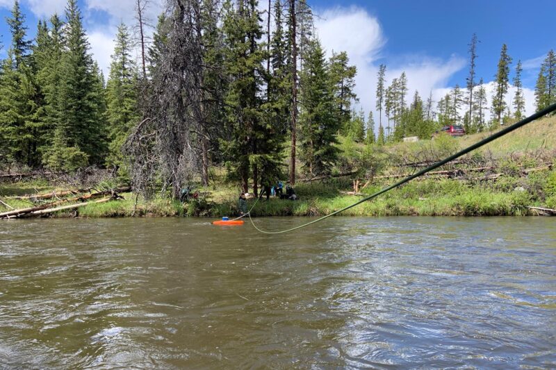
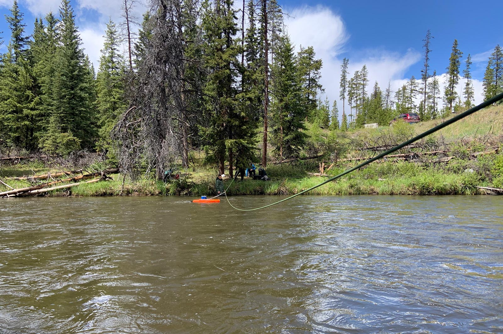
Tŝilhqot’in National Government is increasing First Nations' water management and analysis capacity by implementing a new data management portal to centralize, analyze, and share up-to-date water quality and quantity data. Hydrometric stations will be repaired and new ones installed to expand monitoring data collection. This project, which supports 17 jobs, aims to equip First Nations decision-makers with the information needed to prioritize projects related to ecological and forestry recovery, climate change resilience, and flood and drought mitigation. (Photo: Tŝilhqot’in National Government)
Brochure: Tŝilhqot'in National Government: Water Quality & Quantity Monitoring Program
View map of BC's Natural Resource District.
Kwakiutl First Nation is completing a fish habitat assessment for the Giyuxw River to establish a baseline of habitat conditions for salmonids and determine priorities for restoration and protection work. This project, which supports 14 jobs, furthers the Nation's reclamation of Tsuqwa, an ancestral stone fish trap/pound that was an integral part of a historic fishing station and village. (Photo: Andy Fitzsimon / Unsplash)
View map of BC's Natural Resource District.
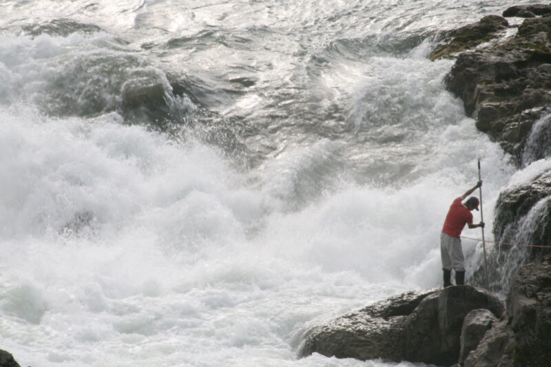
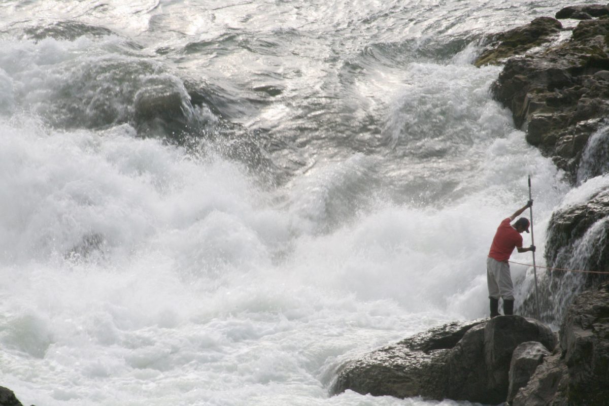
Wet'suwet'en Treaty Office Society is expanding its water monitoring program to capture data on the distribution, life history, and genetic diversity of salmon spawning in the Upper Bulkley and Morice watersheds. This project, which will support up to eight jobs, addresses high-priority information gaps identified in the Morice Sockeye Rebuilding Plan. (Photo: Picture BC / Flickr)
View map of BC's Natural Resource District.
 View Details

Kwikwetlem First Nation is hiring and training four full-time Resource Guardians, who will enforce conservation regulations, restore environmentally compromised sites, and monitor development activities to protect archaeological, environmental, and cultural assets. This project supports 10 jobs. (Photo: Andy Fitzsimon / Unsplash)
View map of BC's Natural Resource District.
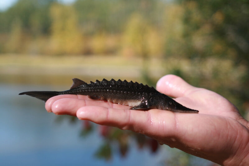
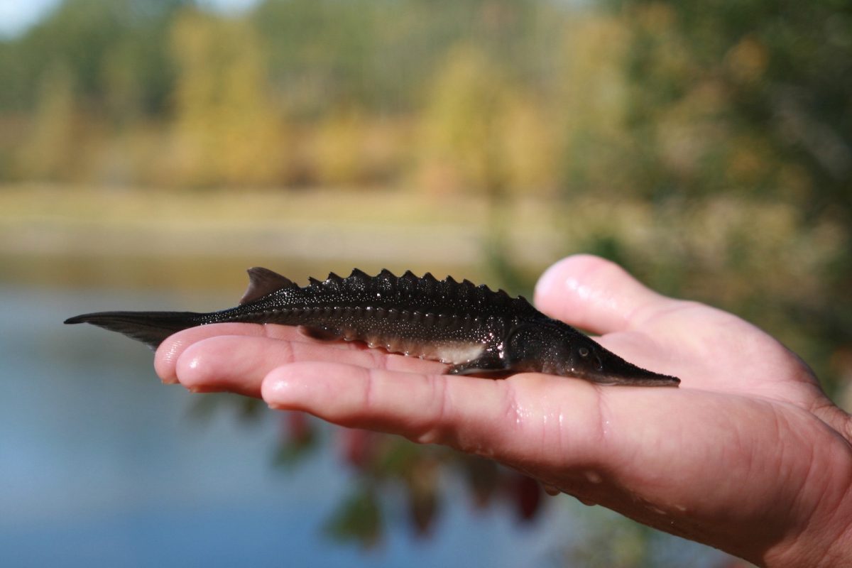
The Upper Fraser Fisheries Conservation Alliance and Carrier Sekani First Nations will work with governments and communities to build a weir on the Endako River. After constructing the weir, their team will monitor water flows and mitigate de-watering during low flows to protect the spawning habitat of important Chinook and Kokanee salmon populations. (Photo: Picture BC / Flickr)
View map of BC's Natural Resource District.
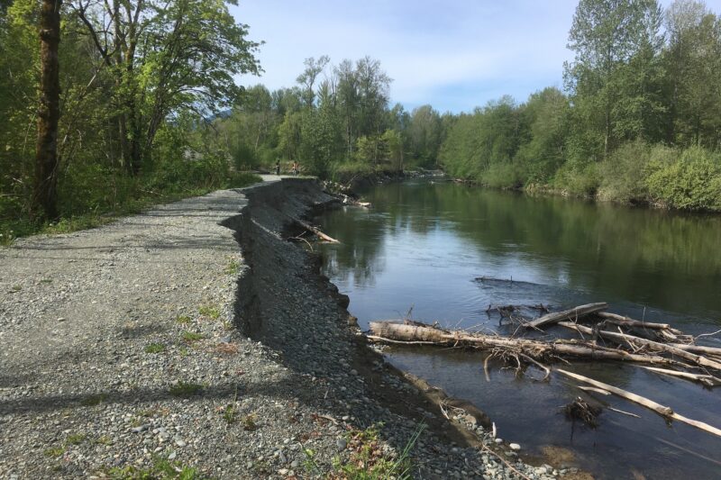
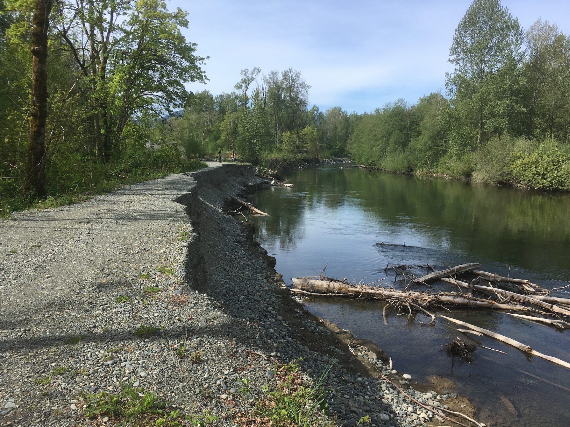
Cowichan Tribes is performing extensive work to rehabilitate the Cowichan and Koksilah Rivers by focusing on sediment management and habitat rehabilitation. Work involves removing ~90,000 m3 of sediment across six sites, repairing the Hatchery and old Southside Dikes, excavating and reactivating side channels, and monitoring of sites for flood and drought management. This project supports 41 jobs and is an integral part of Cowichan Tribes’ 5-Year River Management Plan. (Photo: Cowichan Tribes)
View map of BC's Natural Resource District.
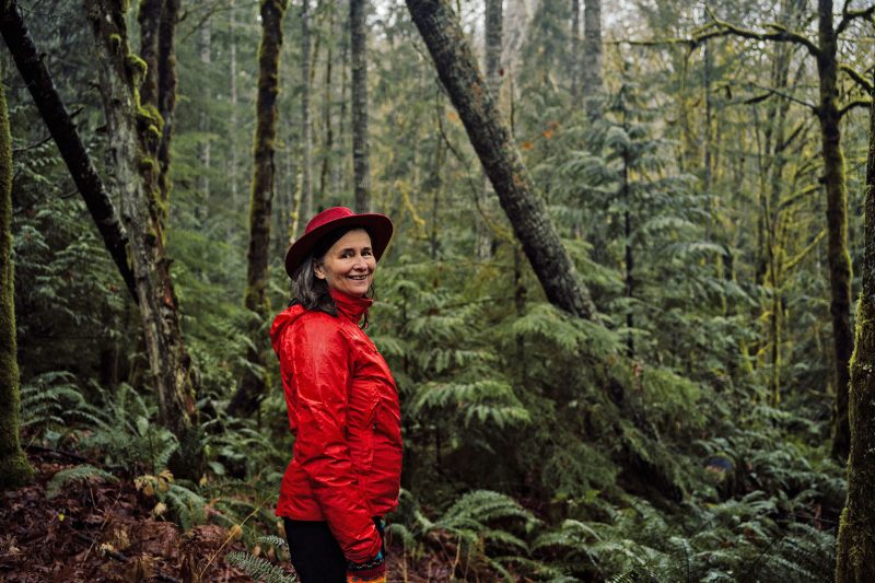
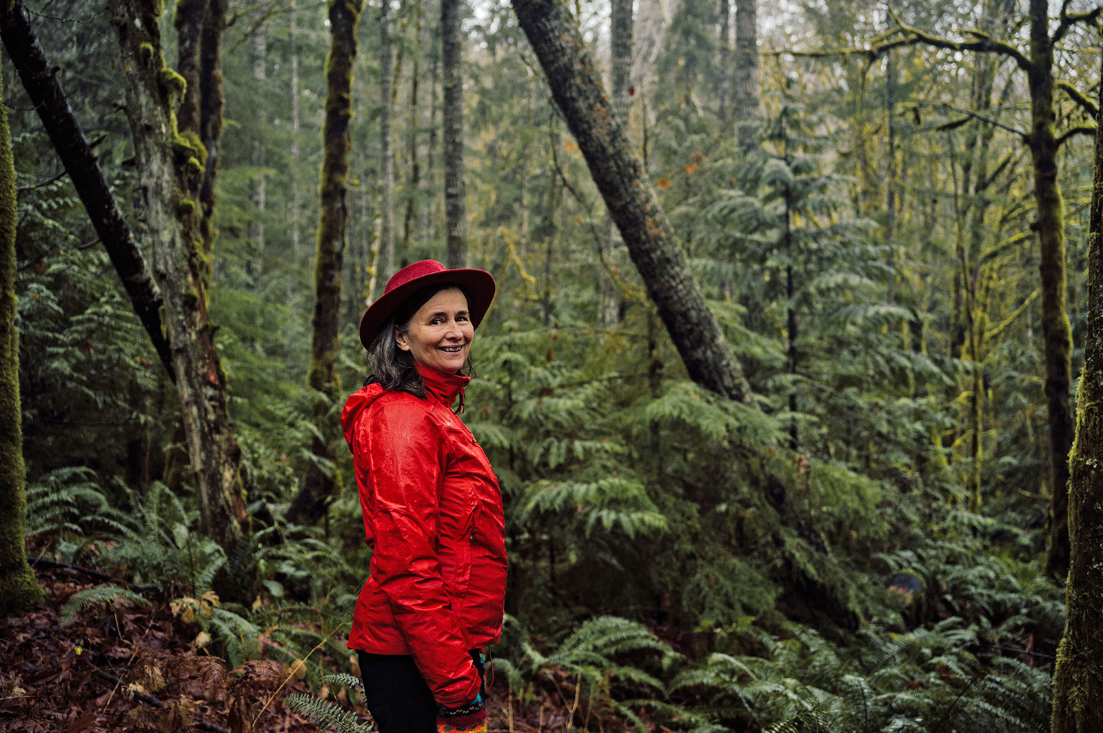
Cowichan Tribes is working with community partners to gather data and scope options for a water sustainability plan for Xwulqw’selu Sto’lo (the Koksilah River) watershed. In recent years, summer flow rates have been exceptionally low at times when demand for water (from domestic, agricultural, and industrial users) is greatest. This project includes technical work and analysis to support sustainable, long-term land and water management, in order to restore water flows for fish and water users. This project supports 12 jobs. (Photo: Taylor Roades / Narwhal)
View map of BC's Natural Resource District.
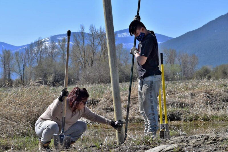
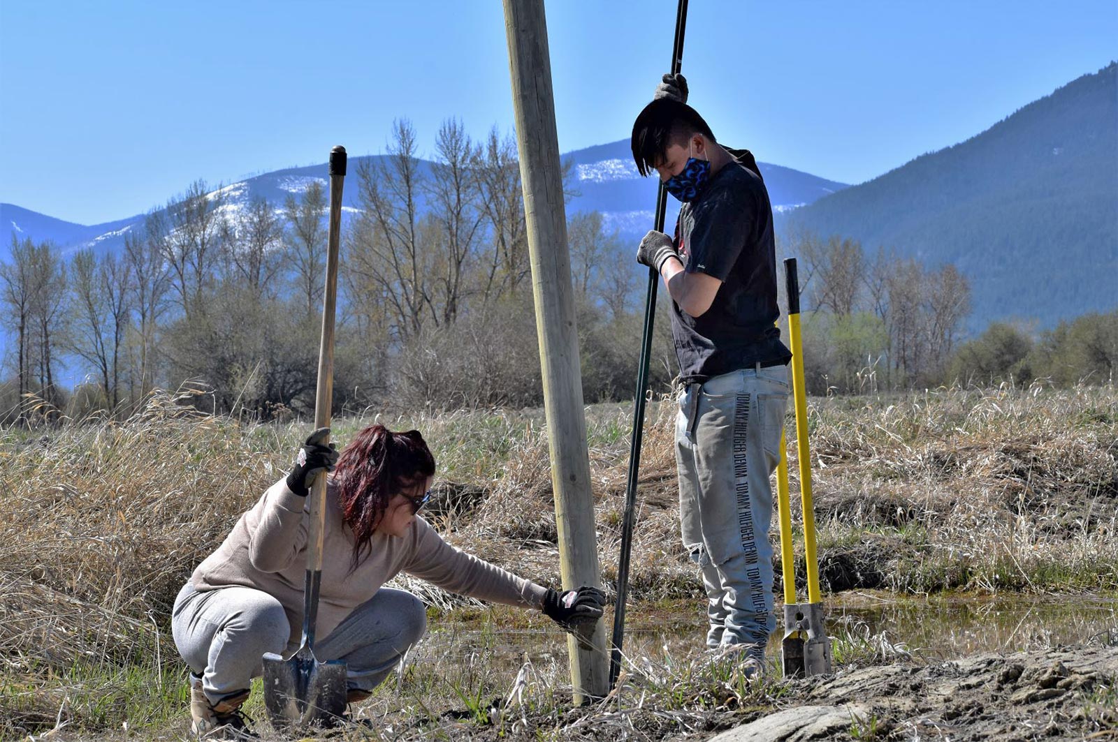
Lower Kootenay Band is restoring naturally appearing and functioning wetlands and floodplains by filling ditches, removing reed canary grass, and recontouring altered wetland basins along the Kootenay River. This project, which supports 11 jobs, uses innovative techniques that will reduce the need to maintain and artificially fill the wetlands. (Photo: Cheyenne Bergenhenegouwen / BCWF)
View map of BC's Natural Resource District.
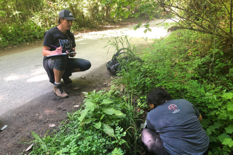
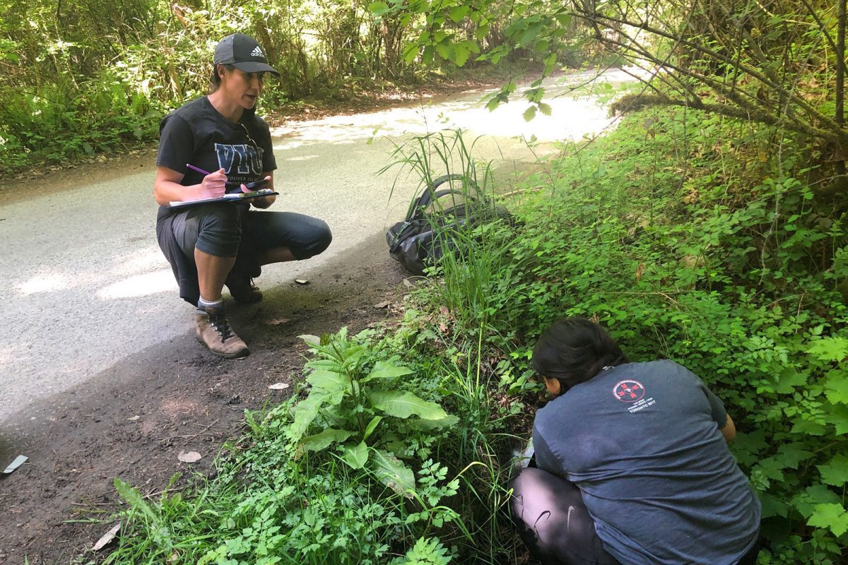
Stqeeye' Learning Society is blending traditional stewardship knowledge and historical data to reclaim and maintain ecosystems around Xwaaqw'um Village (Burgoyne Bay Provincial Park). By engaging and educating community members, particularly Indigenous youth, this project will apply traditional knowledge through cultural practices that honour the interconnectedness of ecosystems. This project will support eight jobs. (Photo: Stqeeye’ Learning Society)
View map of BC's Natural Resource District.
 View Details
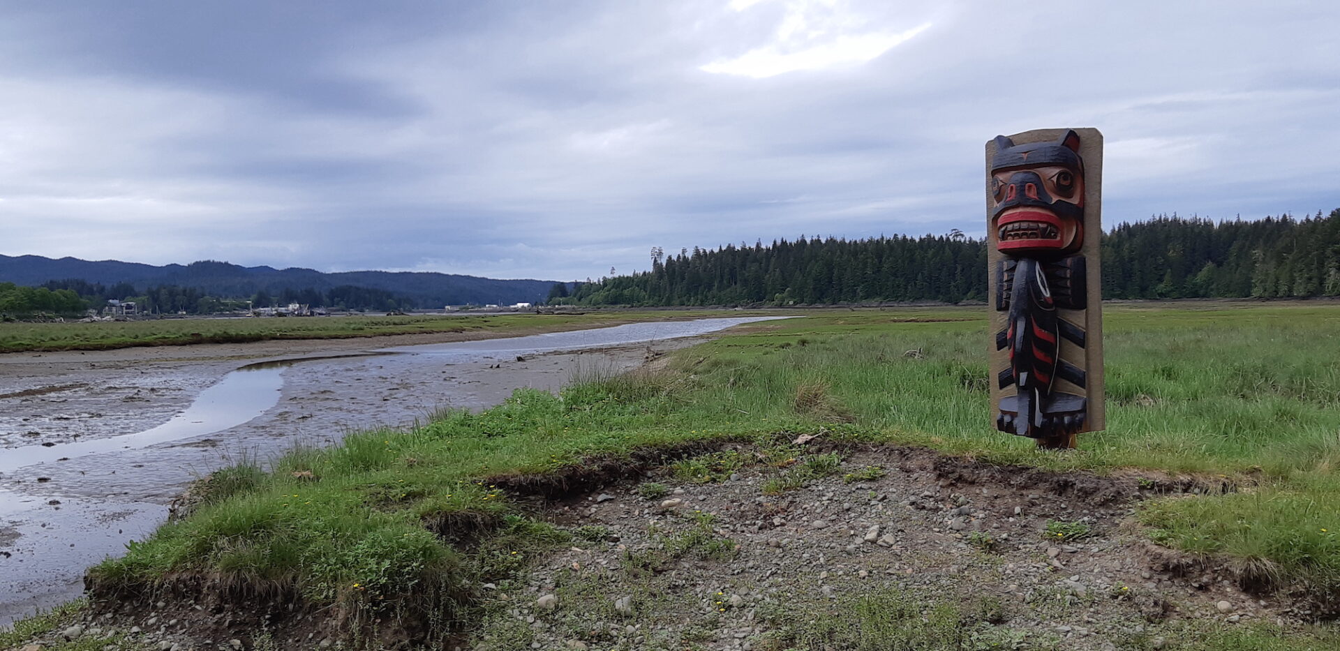
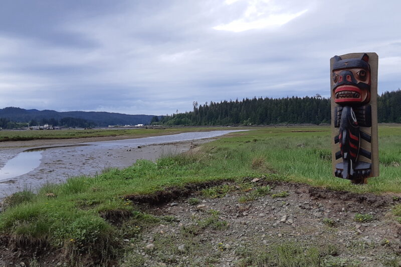
Kwakiutl First Nation, in partnership with the Nature Trust of BC and all levels of government, is restoring coastal estuarine connectivity and habitat in the Gwa'dzi River Estuary. Through activities such as creating intertidal march benches, breaching a legacy forestry road, installing a footbridge, and conducting archaeological and water monitoring, this work aims to recover over two hectares of tidal marsh and mudflat habitat. This project supports 18 jobs. (Photo: Kwakiutl First Nation)
View map of BC's Natural Resource District.
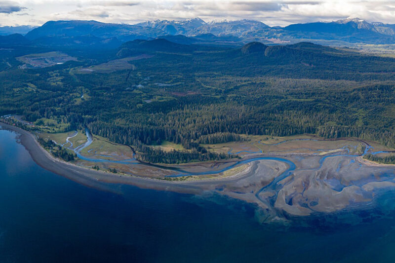
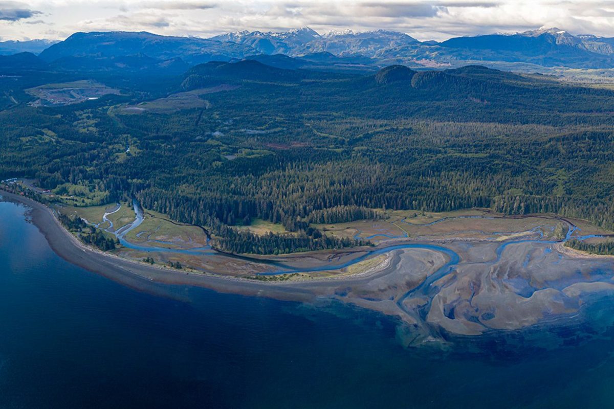
The Kwakiutl First Nation is addressing large-scale active erosion in the Cluxewe River by designing and implementing fish habitat restoration measures. These measures will help to stabilize the channel and restore salmon spawning rearing areas in the lower river and estuary. This project will create at least eight jobs and provide on-the-job training. (Photo: Kwakiutl First Nation)
View map of BC's Natural Resource District.
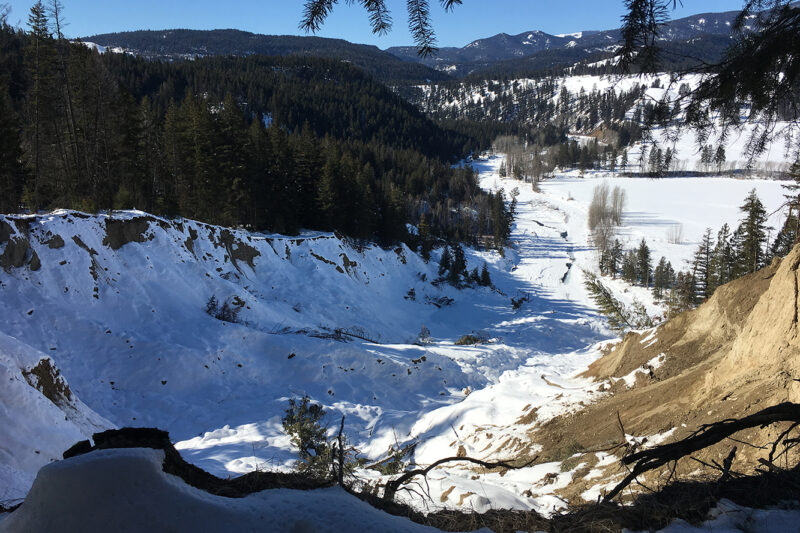
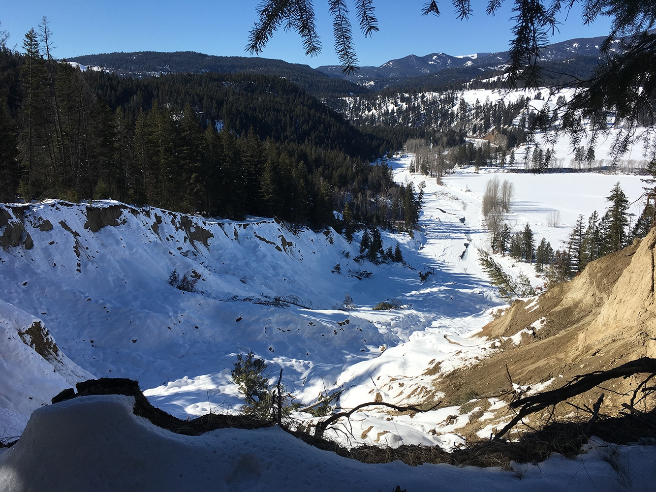
Okanagan Nation Alliance is partnering with the Okanagan Collaborative Conservation Program and the South Okanagan Conservation Program to develop an Okanagan Lake Responsibility Strategy using the nʕawqnwixʷ methodology, a consensus-based decision-making process that prioritizes the participation of Syilx Traditional Ecological and Cultural Knowledge keepers. This project, which supports one job, will engage local stakeholders to identify key issues affecting the security of the watershed and outline direct actions and solutions needed for its protection. (Photo: Okanagan Nation Alliance)
View map of BC's Natural Resource District.