
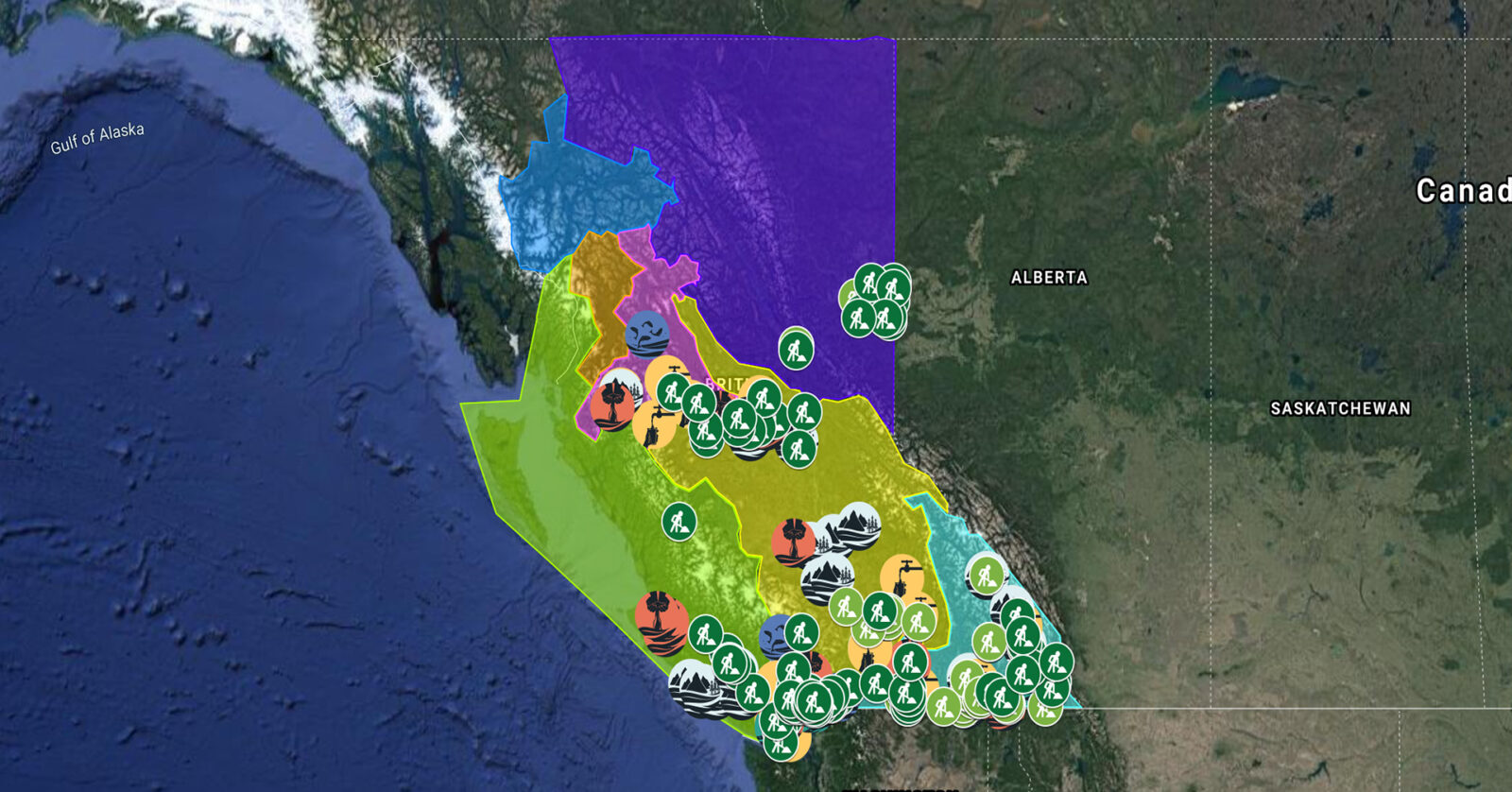
A full list of projects is now available as an interactive map, on Airtable, as a list (pdf), and as a Google Earth map file (kmz).
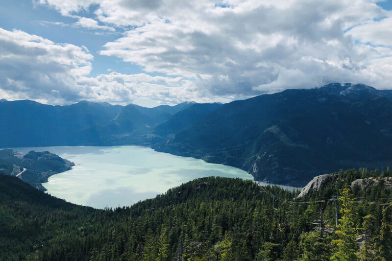
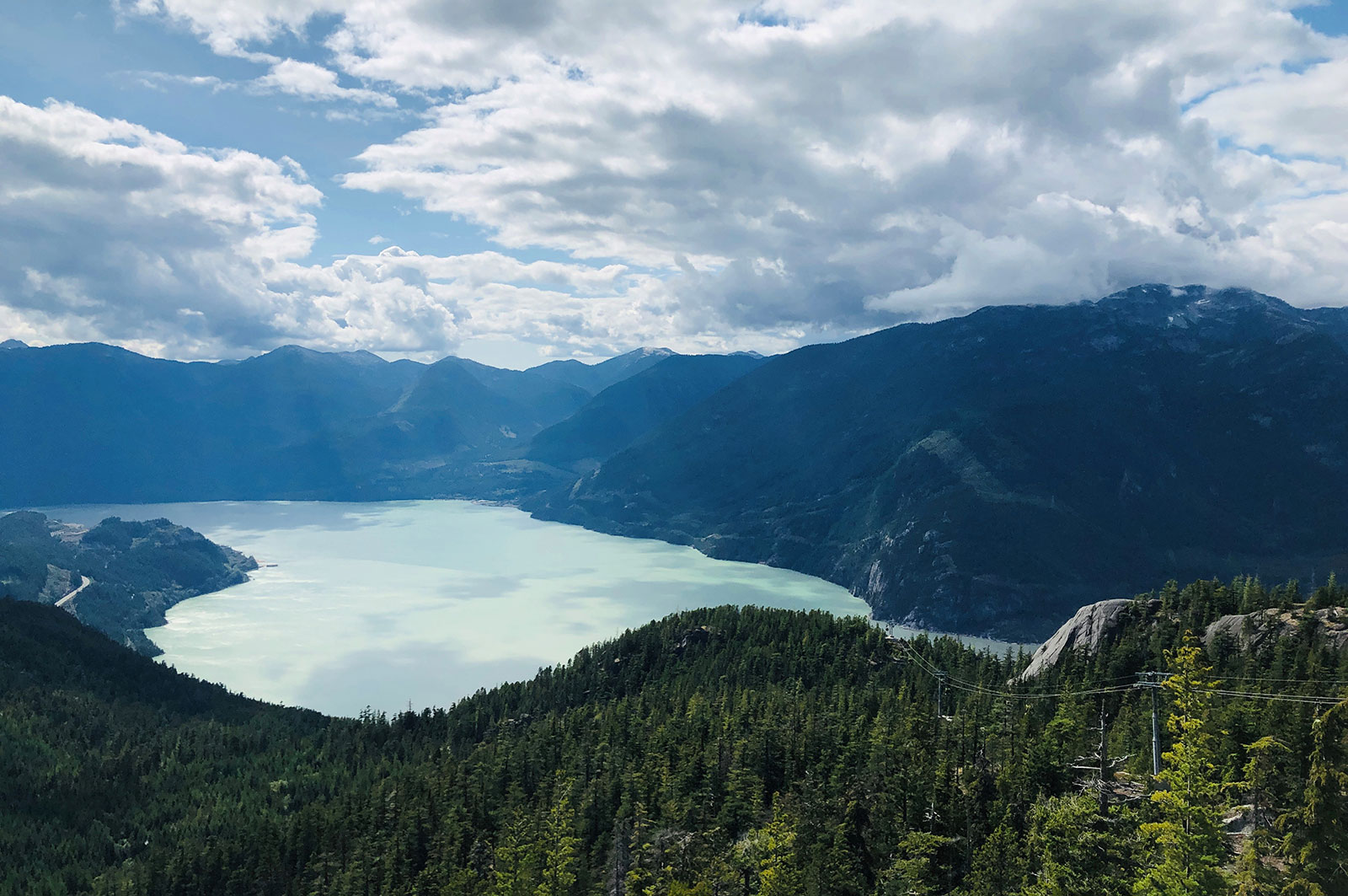
Squamish River Watershed Society, in partnership with Squamish Nation and Fisheries and Oceans Canada, is continuing work on restoring fish passage and access to over 300 hectares of habitat in the Squamish estuary. This project focuses on modifying the lower section of the training berm and installing flow control structures. This project supports 26 jobs. (Photo: Adarshana Thapa / REFBC)
View map of BC's Natural Resource District.
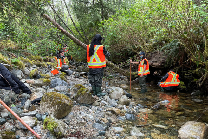
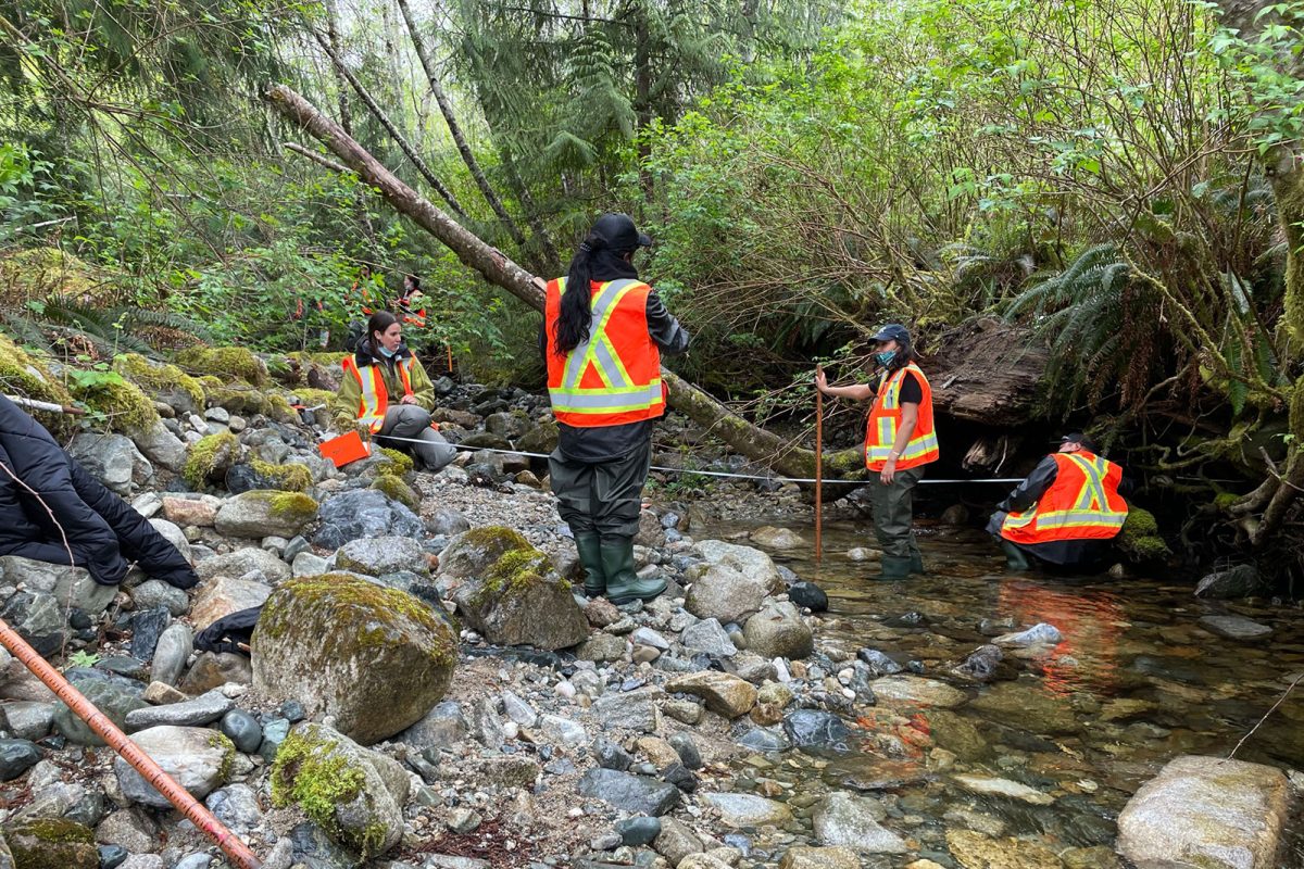
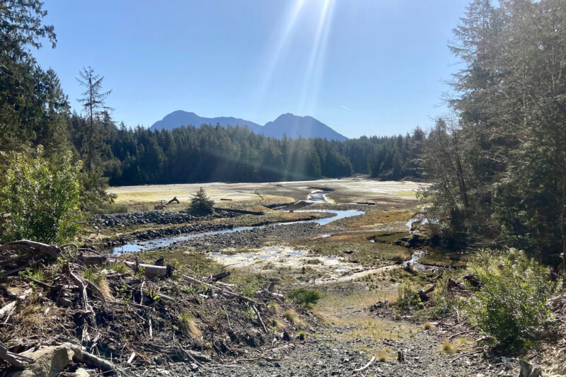
Central Westcoast Forestry Society is supporting Hesquiaht, Ahousaht, and Tla-o-qui-aht First Nations’ initiative to restore critical salmon populations in the Clayoquot Sound by reconstructing rearing habitat. The work involves implementing bioengineering approaches (woody debris structures, riparian planting) to stabilize banks, reduce erosion, and create habitats supportive of migrating salmon. This project will support at least 25 jobs and provide technical training and certification to workers. (Photo: Lora Tyron)
View map of BC's Natural Resource District.
 View Details
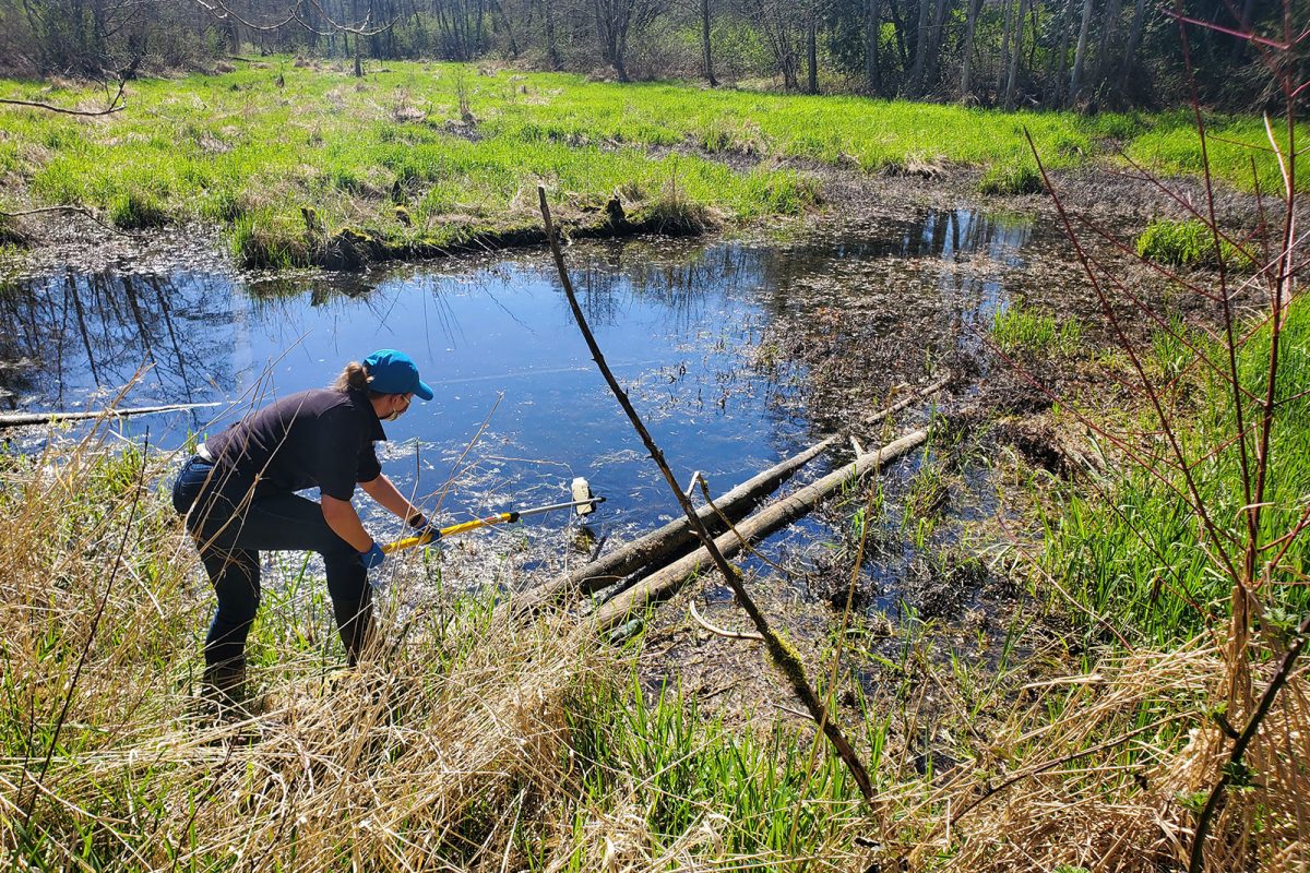
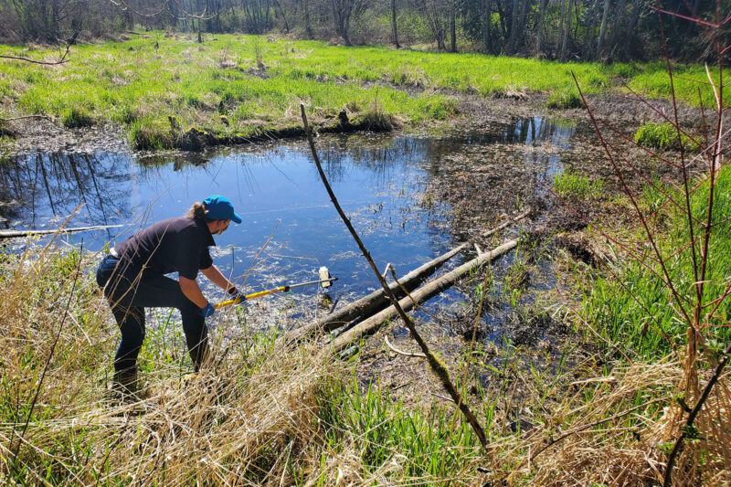
BC Wildlife Federation is collaborating with First Nations and conservation organizations to restore, stabilize, and monitor BC's wetlands. These activities will improve wetland inventories, management, and decision-making. This project will support over 100 jobs and will provide training for workers in Wetlands Ecosystem Enhancement Protocol and Wetland Inventory. (Photo: Langley Environmental Partners Society)
View map of BC's Natural Resource District.
Kwakiutl First Nation is completing a fish habitat assessment for the Giyuxw River to establish a baseline of habitat conditions for salmonids and determine priorities for restoration and protection work. This project, which supports 14 jobs, furthers the Nation's reclamation of Tsuqwa, an ancestral stone fish trap/pound that was an integral part of a historic fishing station and village. (Photo: Andy Fitzsimon / Unsplash)
View map of BC's Natural Resource District.
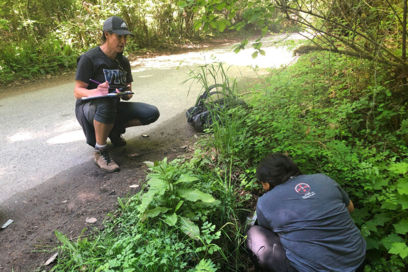
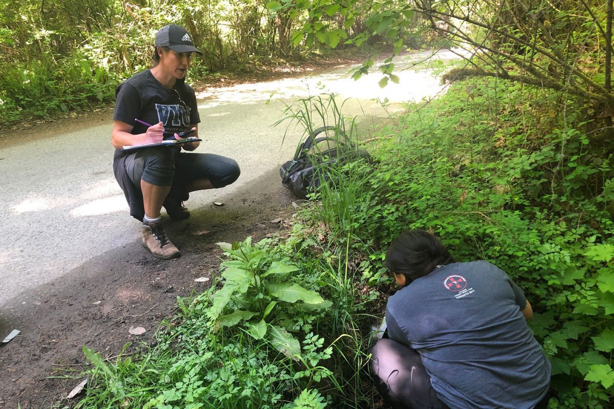
Stqeeye' Learning Society is blending traditional stewardship knowledge and historical data to reclaim and maintain ecosystems around Xwaaqw'um Village (Burgoyne Bay Provincial Park). By engaging and educating community members, particularly Indigenous youth, this project will apply traditional knowledge through cultural practices that honour the interconnectedness of ecosystems. This project will support eight jobs. (Photo: Stqeeye’ Learning Society)
View map of BC's Natural Resource District.
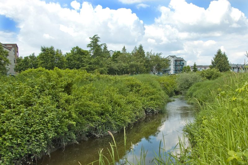
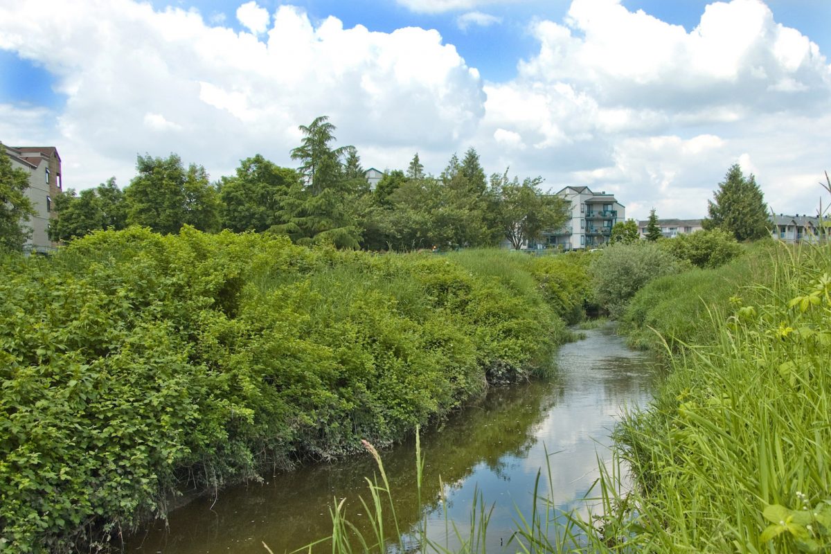
ARDCorp is expanding its water monitoring program to agricultural areas along Bertrand Creek to support the development of a Group Environmental Farm Plan. Environmental Farm Plans help farmers increase efficiency and profitability by implementing more sustainable farming practices. This project will support four jobs. (Photo: Picture BC / Flickr)
View map of BC's Natural Resource District.
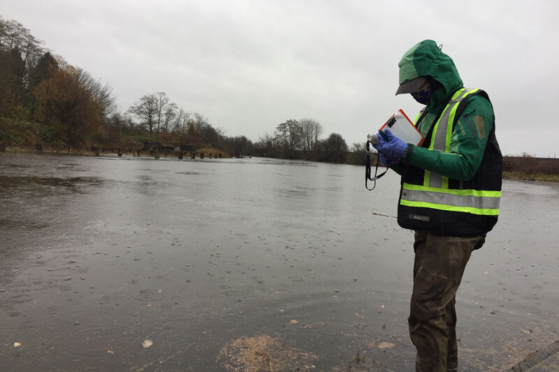
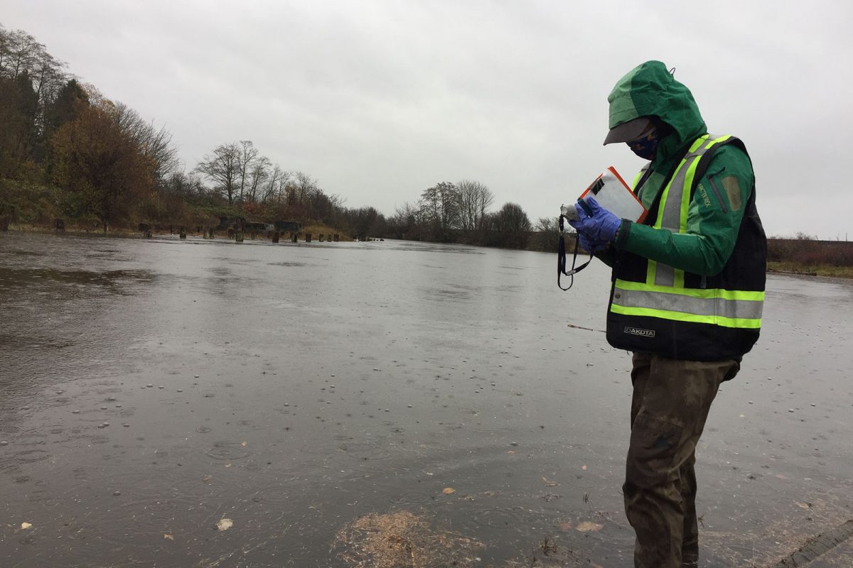
A Rocha Canada is partnering with Semiahmoo First Nation on work towards a long-term goal of restoring water quality in Boundary Bay so the Nation can resume the harvest of shellfish. Activities include identifying contamination sources through water monitoring, convening a roundtable, and developing a water quality action plan. This project supports six jobs. (Photo: A Rocha)
View map of BC's Natural Resource District.
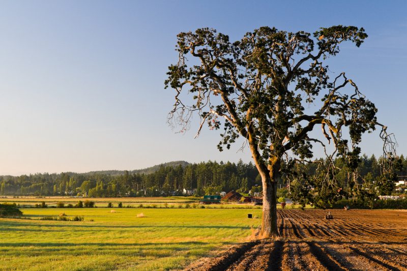
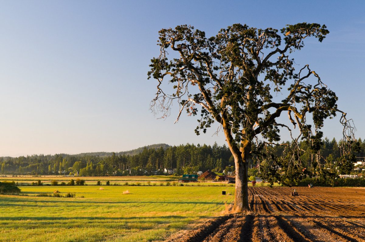
BC Investment Agriculture Foundation is working with farmers and First Nations across the province to protect and preserve critical riparian habitats on agricultural land. The Farmland Advantage program helps farmers identify natural values on their land and provides the tools needed to conserve them. This project will support up to 48 jobs. (Photo: Picture BC / Flickr)
View map of BC's Natural Resource District.
 View Details
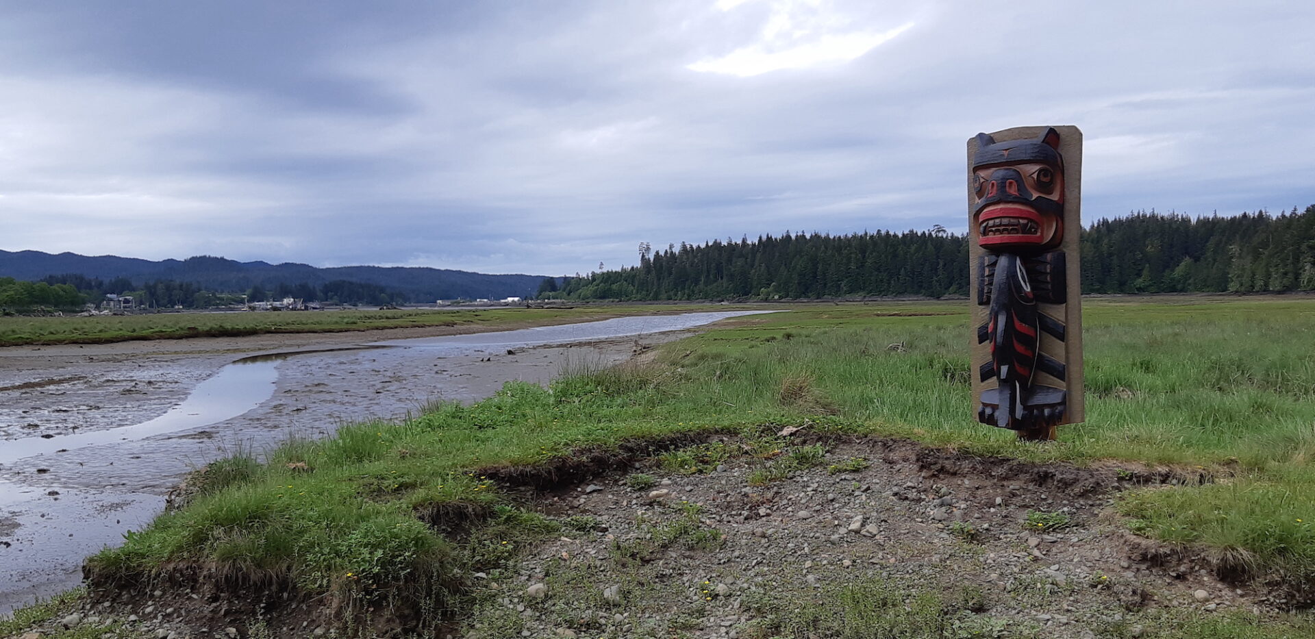
Kwakiutl First Nation, in partnership with the Nature Trust of BC and all levels of government, is restoring coastal estuarine connectivity and habitat in the Gwa'dzi River Estuary. Through activities such as creating intertidal march benches, breaching a legacy forestry road, installing a footbridge, and conducting archaeological and water monitoring, this work aims to recover over two hectares of tidal marsh and mudflat habitat. This project supports 18 jobs. (Photo: Kwakiutl First Nation)
View map of BC's Natural Resource District.
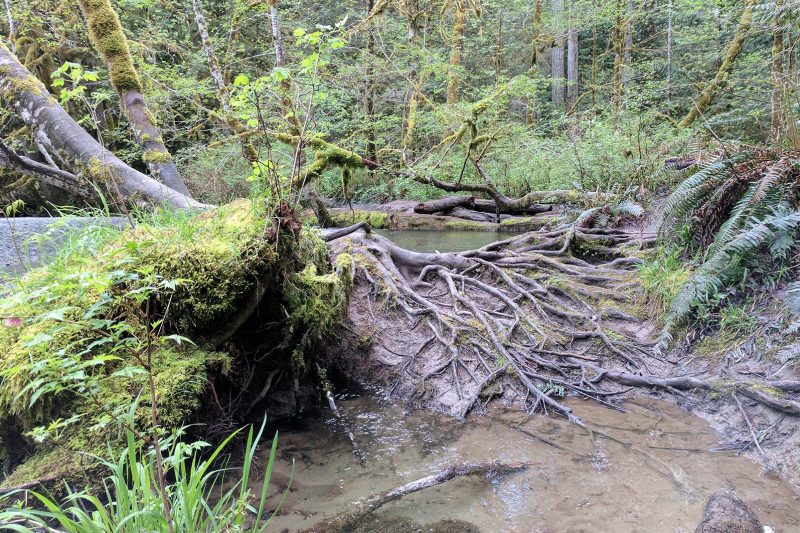
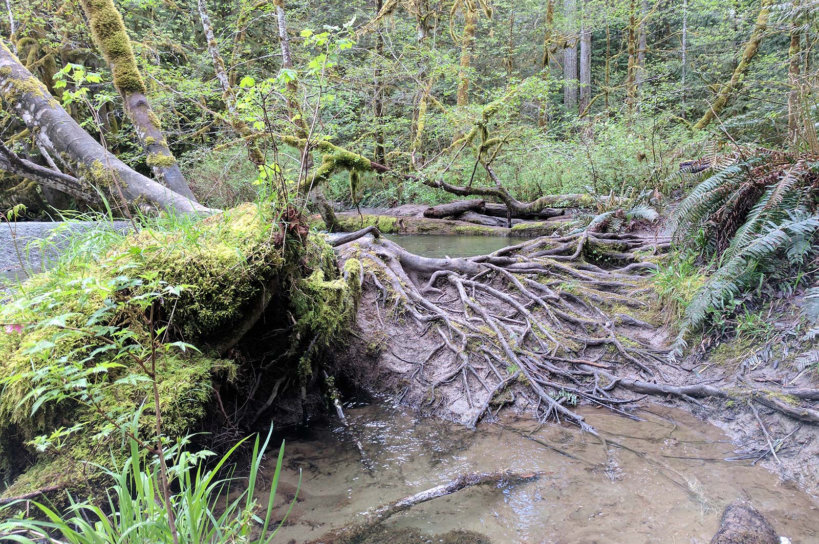
The City of Port Alberni is decommissioning its wastewater treatment lagoon and restoring the area as a natural tidal marsh. This project will restore habitat in the Somass estuary, improve wastewater treatment and stormwater management, and support 15 jobs. (Photo: Stephanie Butler / REFBC)
View map of BC's Natural Resource District.
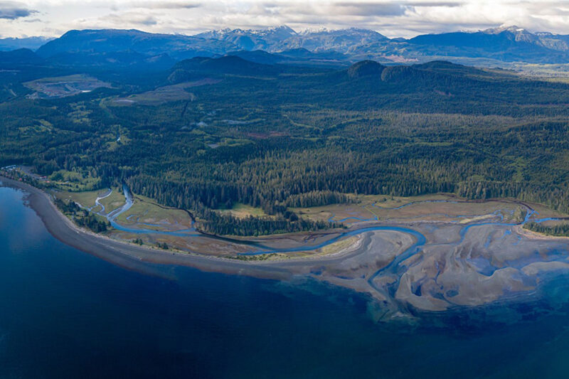
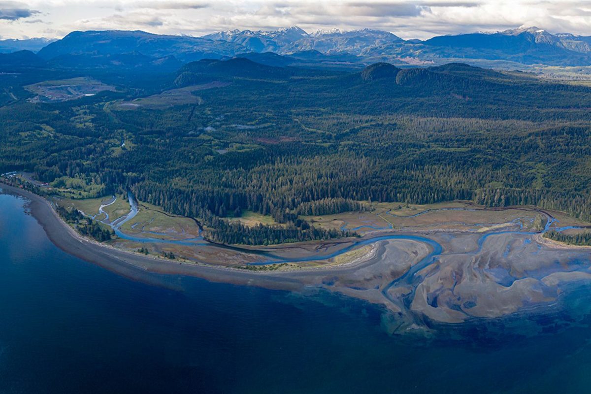
The Kwakiutl First Nation is addressing large-scale active erosion in the Cluxewe River by designing and implementing fish habitat restoration measures. These measures will help to stabilize the channel and restore salmon spawning rearing areas in the lower river and estuary. This project will create at least eight jobs and provide on-the-job training. (Photo: Kwakiutl First Nation)
View map of BC's Natural Resource District.


Squamish River Watershed Society, in partnership with Squamish Nation and Fisheries and Oceans Canada, is continuing efforts to restore anadromous passage to spawning grounds in the upper Elaho River. This work involves removing any additional obstructions at previously cleared sites and implementing innovative monitoring techniques to assess impact. This phase of the project supports five jobs. (Photo: Adarshana Thapa / REFBC)
View map of BC's Natural Resource District.
 View Details
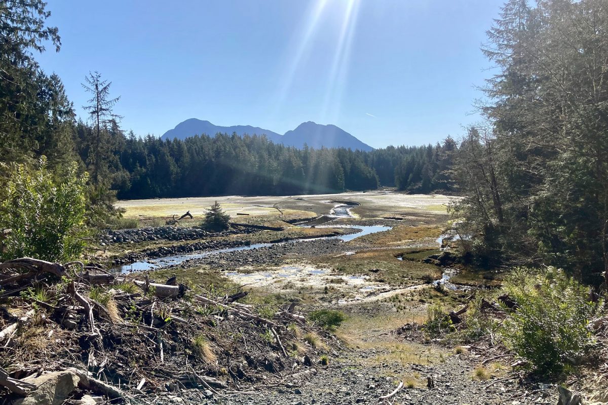
Ahousaht Nation is restoring the Anderson Creek watershed to revitalize spawning habitat for Chum salmon and protect the community's drinking water. Through a combination of restoration work and water monitoring activities, Ahousaht Nation and neighbouring communities will be prepared to make informed water and land use decisions that support a healthy ecosystem. This project supports nine jobs. (Photo: Ahousaht Nation)
View map of BC's Natural Resource District.
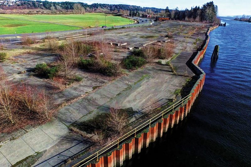
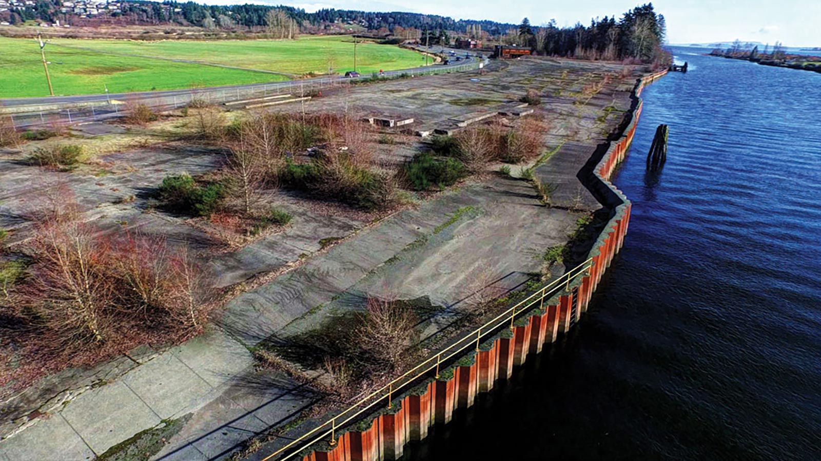
Comox Valley Project Watershed Society, in partnership with K'omoks First Nation and the City of Courtenay, is dismantling and restoring Kus-kus-sum, a former sawmill site on the Courtenay River, to its native estuary saltmarsh and riverside forest. Restoration of this site will benefit at least nine fish species, 145 bird species, and 281 plant species. The first phase of this project will support at least 40 jobs. (Photo: Rick Ward)
View map of BC's Natural Resource District.
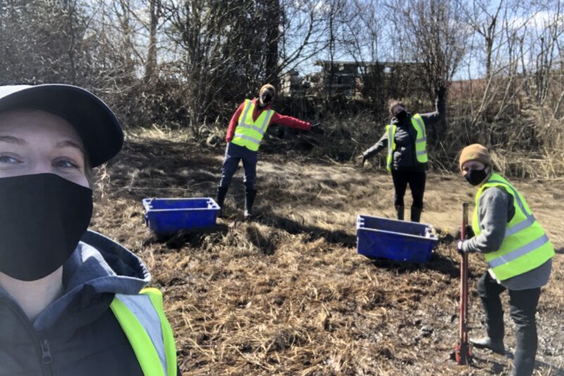
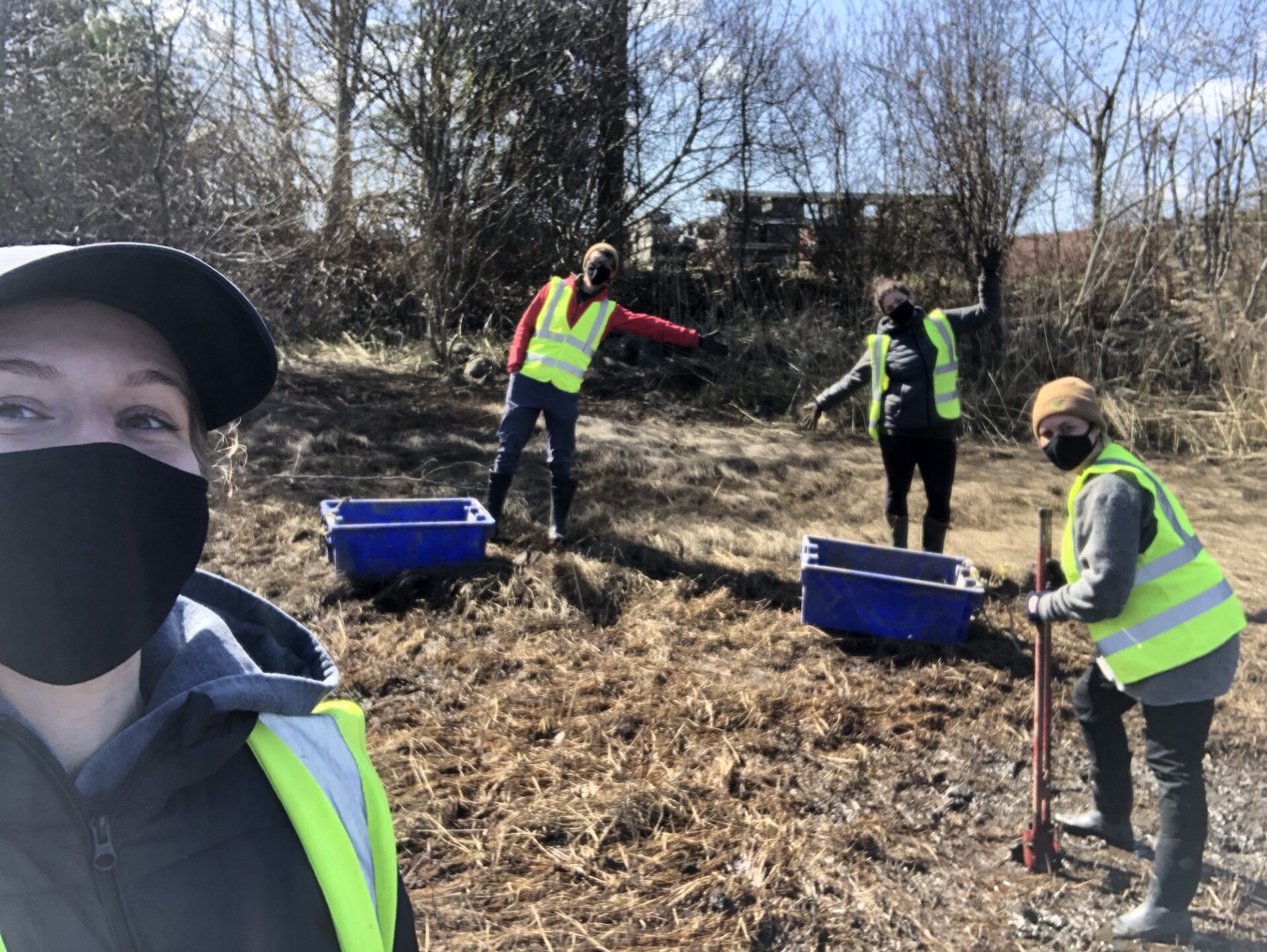
Discovery Coast Greenways Land Trust is collaborating with the Wei Wai Kum Coastal Guardian Watchmen program, 7 Generations Stewards Society, and AIDS Vancouver Island to restore and protect riparian areas around Campbell River that have been impacted by increased human use during the pandemic. This project supports up to 28 jobs. (Photo: Discovery Coast Greenways Land Trust)
View map of BC's Natural Resource District.
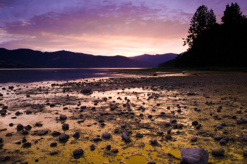
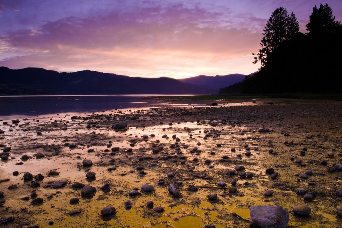
Islands Trust will work with First Nations and community groups to develop and implement a Freshwater Sustainability Strategy to guide resource allocation for freshwater projects. This project, which will support up to 31 jobs, also includes restoration work in protected areas on Salt Spring Island and programming for Indigenous youth. (Photo: Picture BC / Flickr)
View map of BC's Natural Resource District.
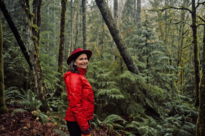
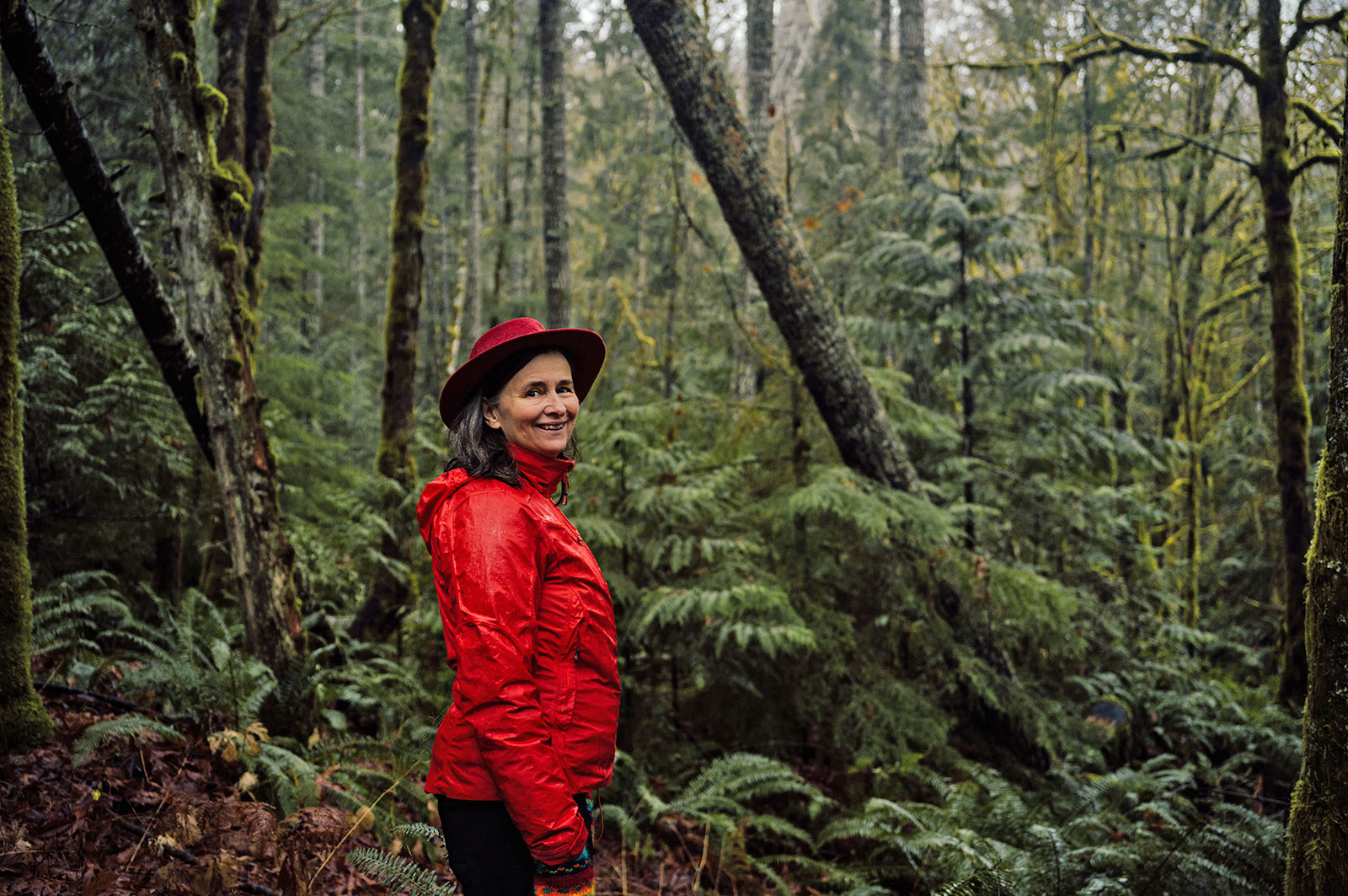
Cowichan Tribes is working with community partners to gather data and scope options for a water sustainability plan for Xwulqw’selu Sto’lo (the Koksilah River) watershed. In recent years, summer flow rates have been exceptionally low at times when demand for water (from domestic, agricultural, and industrial users) is greatest. This project includes technical work and analysis to support sustainable, long-term land and water management, in order to restore water flows for fish and water users. This project supports 12 jobs. (Photo: Taylor Roades / Narwhal)
View map of BC's Natural Resource District.
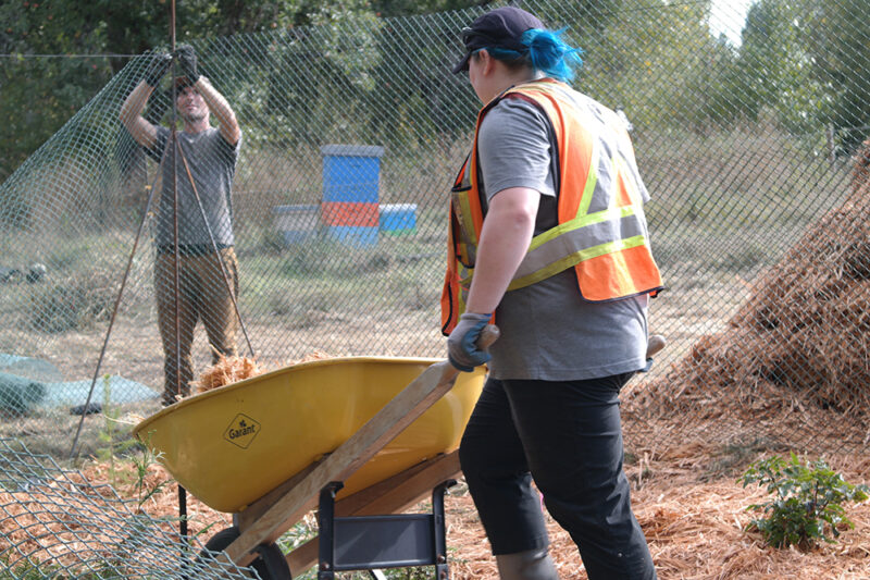
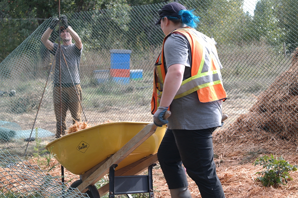
Comox Valley Project Watershed Society, in partnership with Ducks Unlimited and K'omoks First Nation, is restoring water quality and spawning channels in the Glen Urquhart Creek watershed, a critical wetland and habitat. This project, which supports 12 jobs, involves installing in-stream habitat features, reconnecting catchments to the wetland, and removing invasive species. (Photo: Claire Sauvage-Mar / WatershedsBC)
View map of BC's Natural Resource District.


Squamish River Watershed Society is conducting water flow monitoring to ensure that communities, fisheries, First Nations, and other regional decision makers have access to data on appropriate minimum flow for an upcoming water use plan in the Squamish/Cheakamus watershed. This project will support three jobs. (Photo: Adarshana Thapa / REFBC)
View map of BC's Natural Resource District.
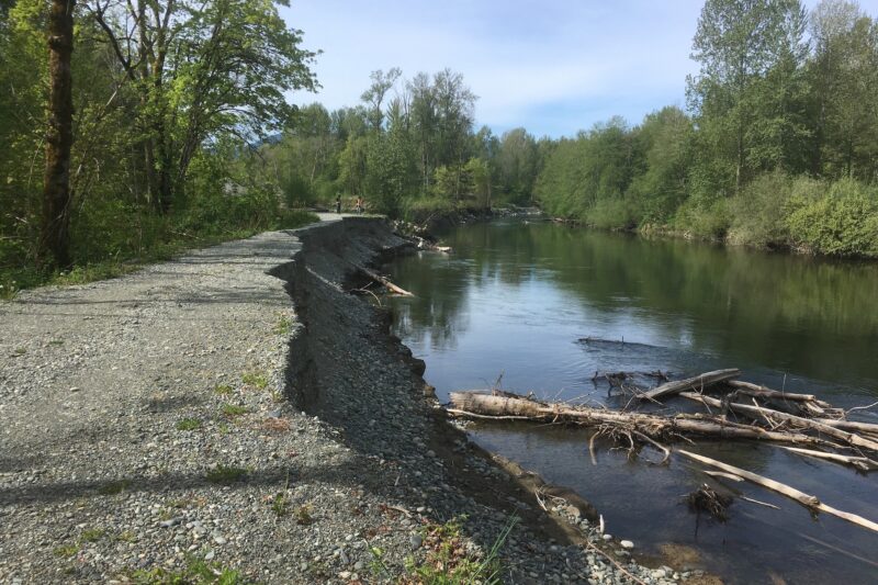
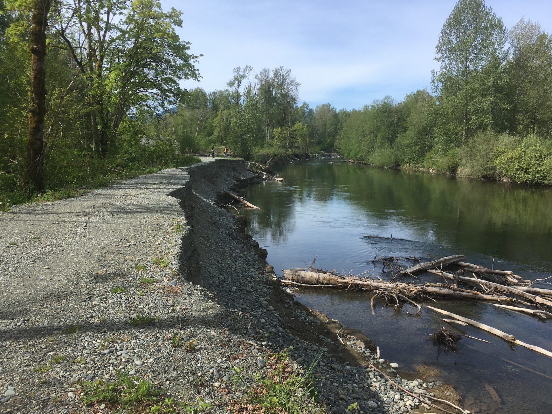
Cowichan Tribes is performing extensive work to rehabilitate the Cowichan and Koksilah Rivers by focusing on sediment management and habitat rehabilitation. Work involves removing ~90,000 m3 of sediment across six sites, repairing the Hatchery and old Southside Dikes, excavating and reactivating side channels, and monitoring of sites for flood and drought management. This project supports 41 jobs and is an integral part of Cowichan Tribes’ 5-Year River Management Plan. (Photo: Cowichan Tribes)
View map of BC's Natural Resource District.
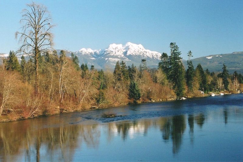
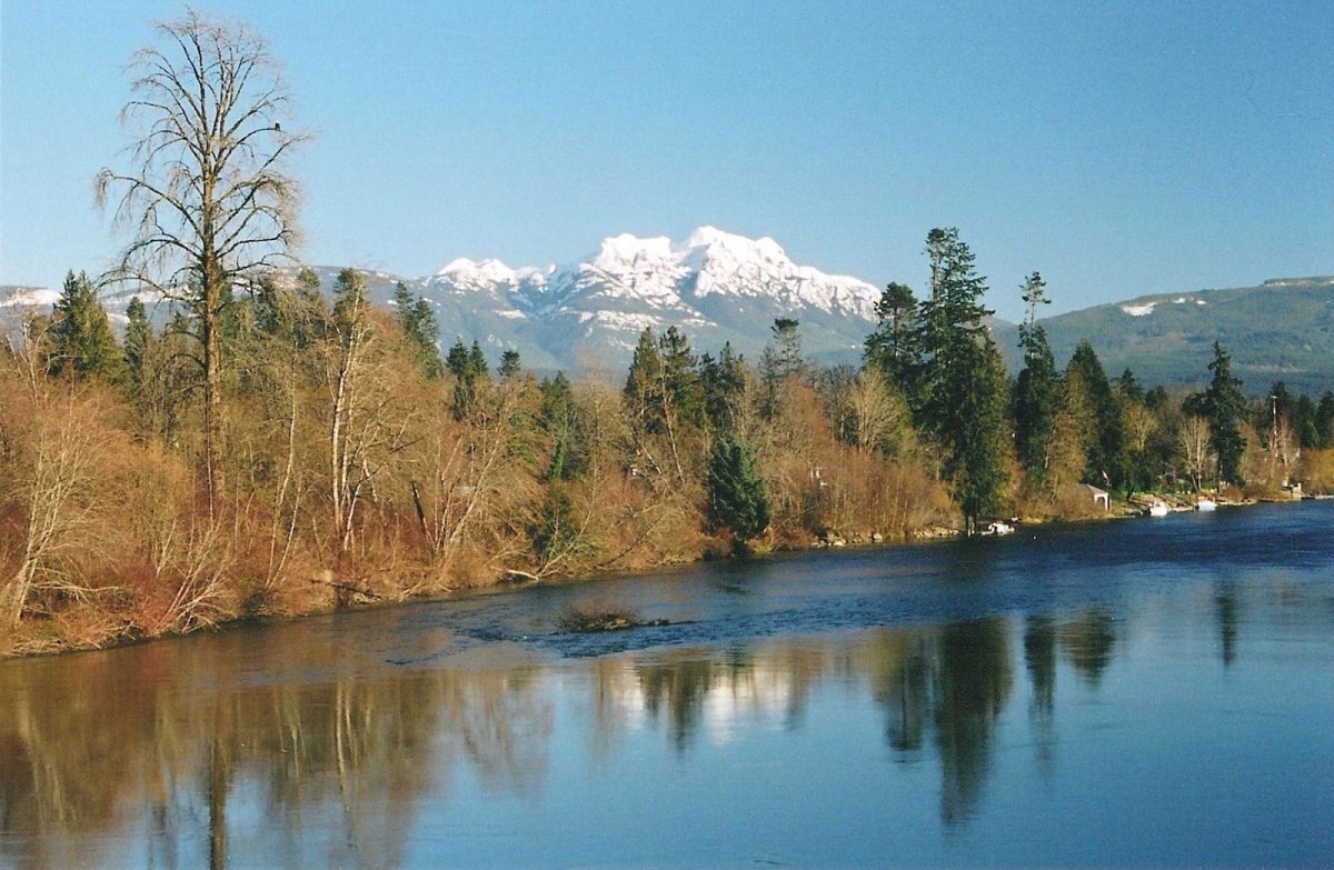
Alberni Clayoquot Regional District is replacing the pedestrian bridge and repairing the abutments on Log Train Trail at Platzer Creek. This project, which supports nine jobs, is addressing erosion and safety and will improve water flow in a critical salmon-bearing stream.
View map of BC's Natural Resource District.
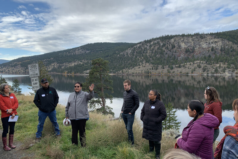
BC Freshwater Legacy Initiative, a project of Makeway, is providing tailored training, peer learning, and coaching support to Indigenous and non-Indigenous water leaders in communities that are leading on innovative approaches to watershed management, governance, and security. This project, which supports 10 jobs, will enable shared learning between organizations and regions and to advance the use of different knowledge systems in informing good watershed decision-making. (Photo: REFBC)
View map of BC's Natural Resource District.
The Town of Gibsons is evaluating the conditions and potential risks to natural assets within the Gibsons Aquifer Watershed. By ensuring that natural assets are understood, measured, and managed, this project will support asset management strategies and climate change responses. This project will support nine jobs. (Photo: Unsplash)
View map of BC's Natural Resource District.
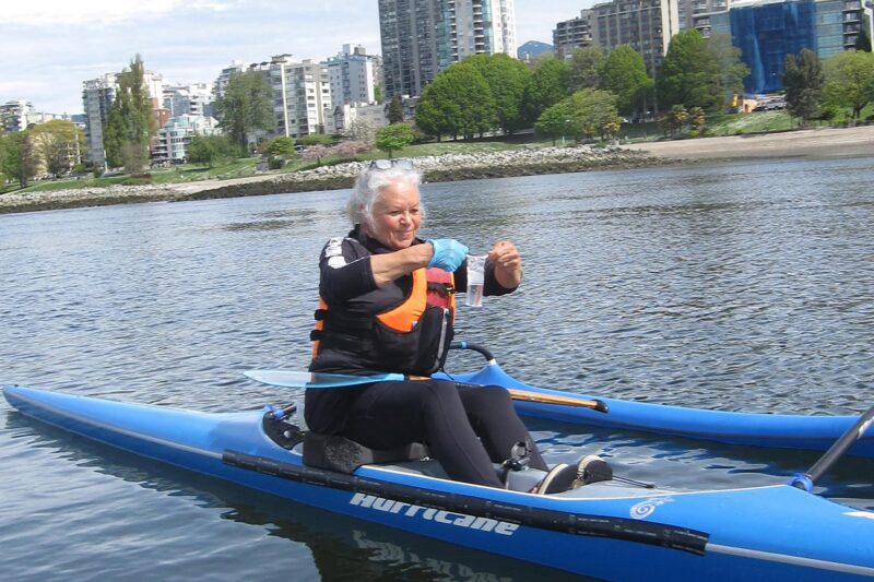
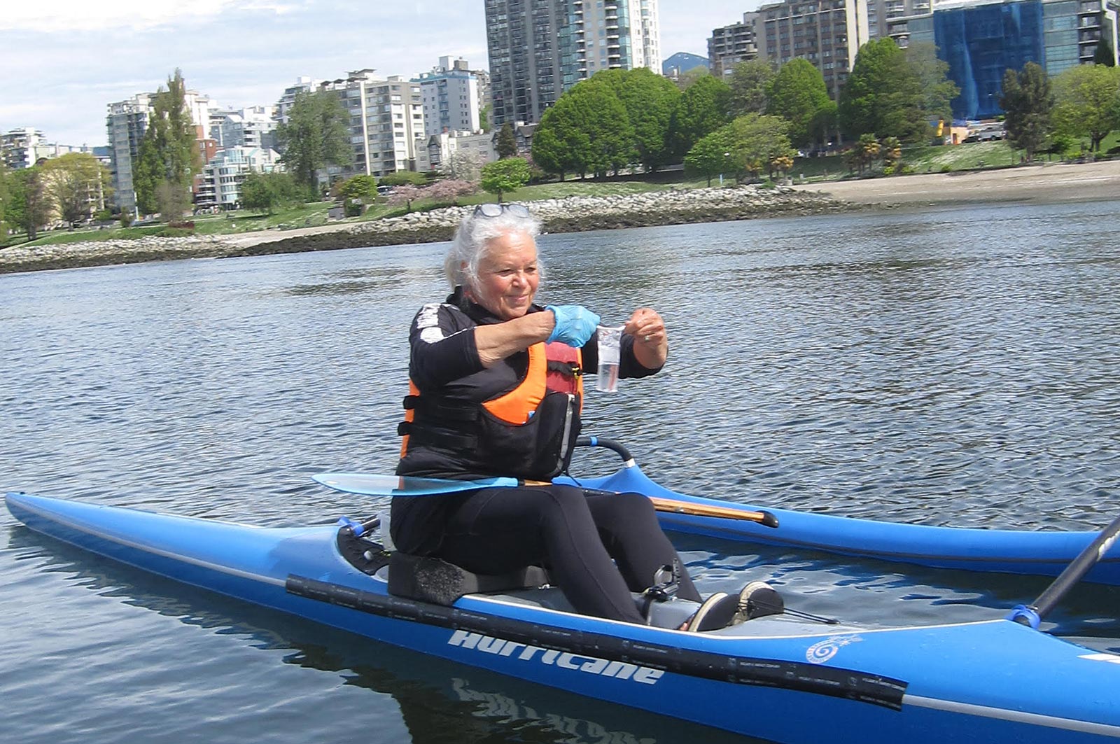
Fraser Riverkeeper Society is partnering with Sea Smart and the Boundary Bay Park Association to expand its recreational water quality monitoring program to Kitsilano Beach and Centennial Beach. Team members will train volunteers on water and environmental sample collection, assess water quality and suitability for recreational use, and share water quality data on Swim Guide. This project, which safeguards community waters and informs future restoration projects, supports five jobs. (Photo: Fraser Riverkeeper)
View map of BC's Natural Resource District.
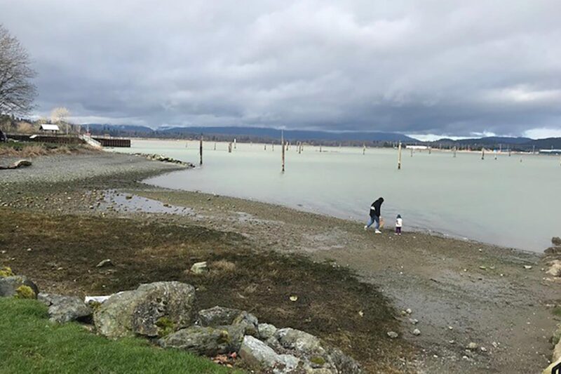
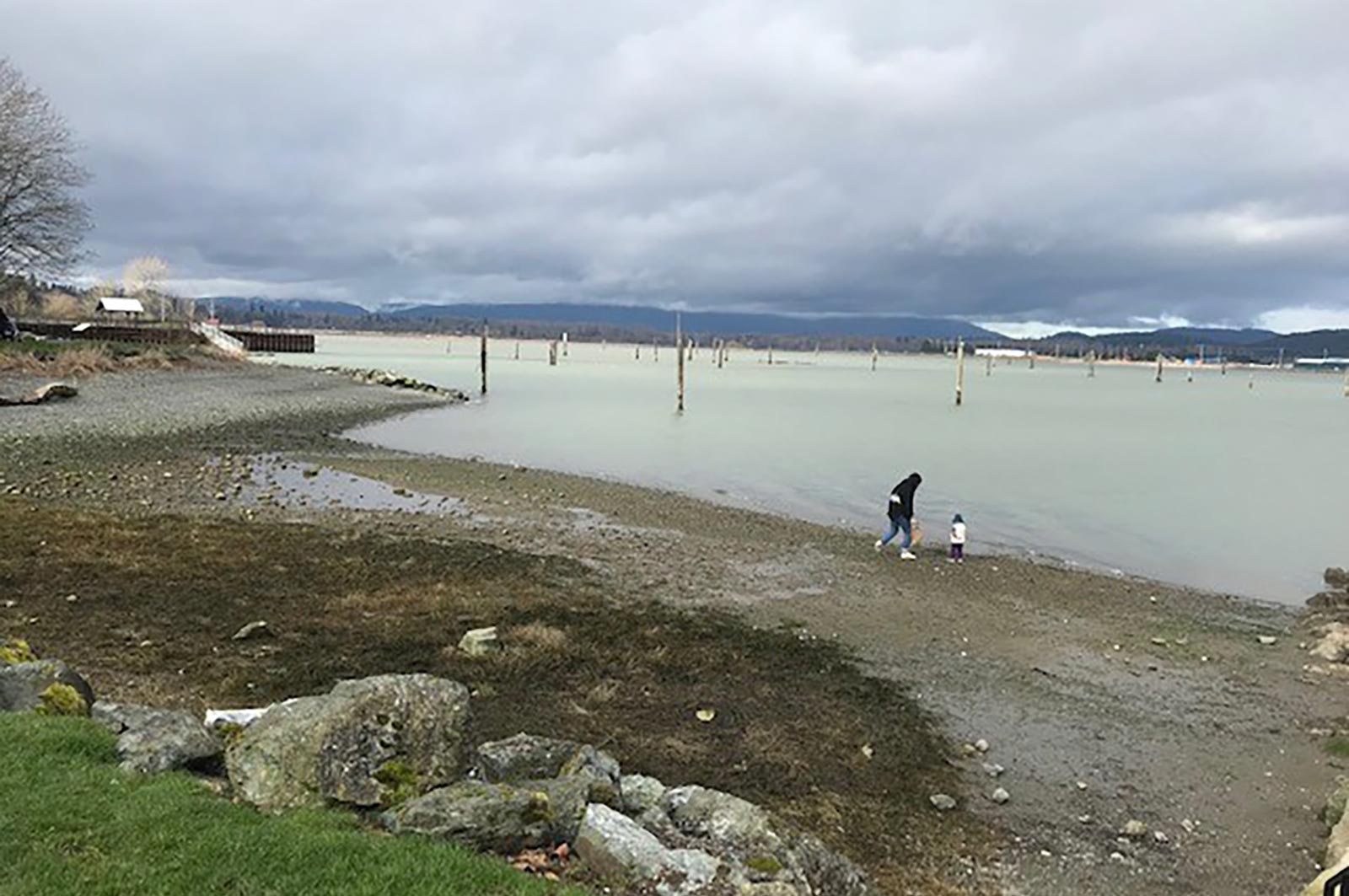
The Sunshine Coast Regional District will work with shíshálh Nation (Sechelt Nation), Skwxú7mesh Úxwumixw (Squamish Nation), community members, and other local governments to develop a Regional Watershed Management Plan. The plan will outline actions needed to protect watersheds within the region. (Photo: Jim McCaughan / REFBC)
View map of BC's Natural Resource District.