
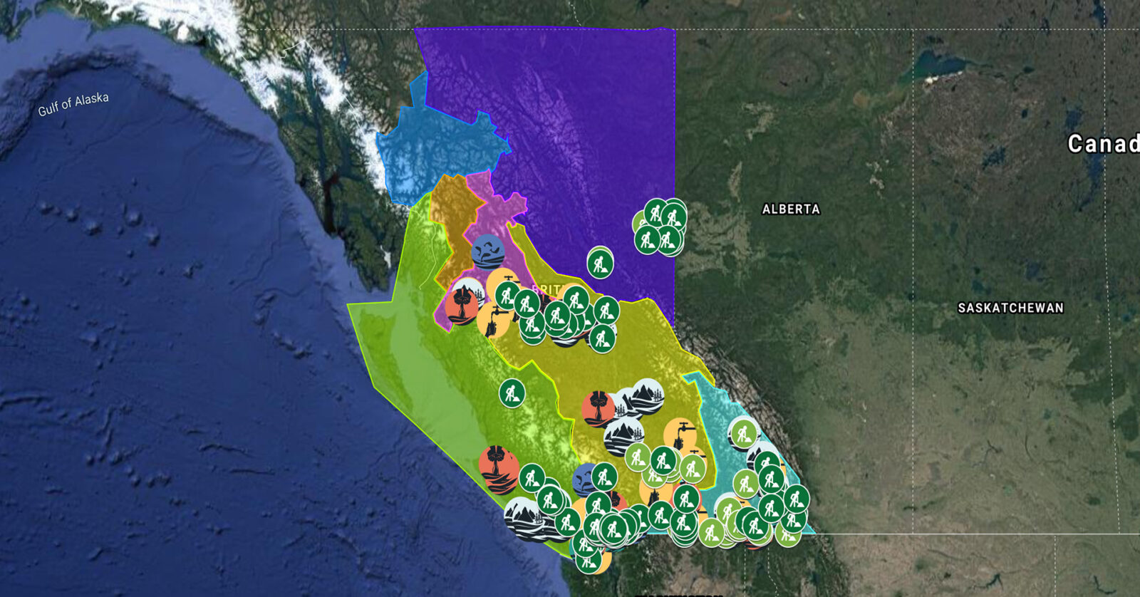
A full list of projects is now available as an interactive map, on Airtable, as a list (pdf), and as a Google Earth map file (kmz).
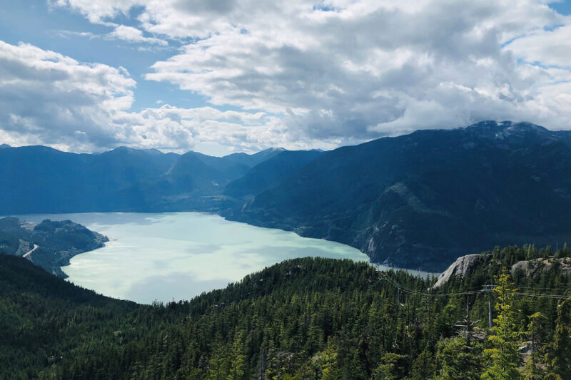
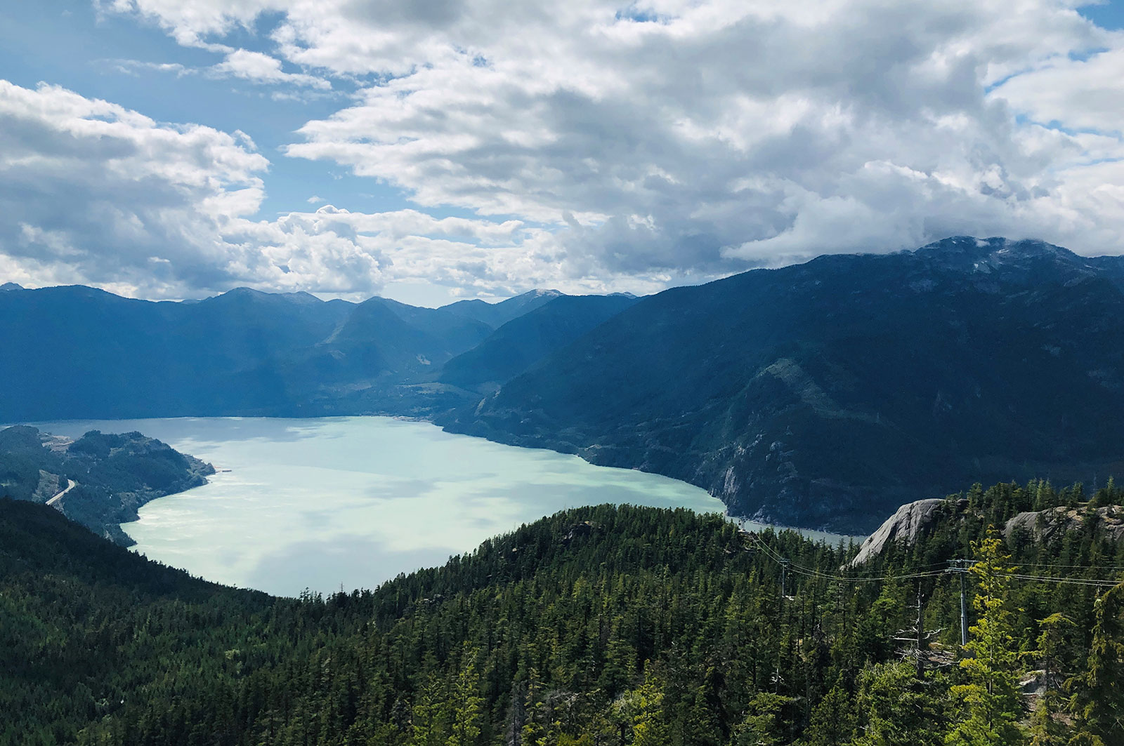
Squamish River Watershed Society is conducting water flow monitoring to ensure that communities, fisheries, First Nations, and other regional decision makers have access to data on appropriate minimum flow for an upcoming water use plan in the Squamish/Cheakamus watershed. This project will support three jobs. (Photo: Adarshana Thapa / REFBC)
View map of BC's Natural Resource District.
 View Details
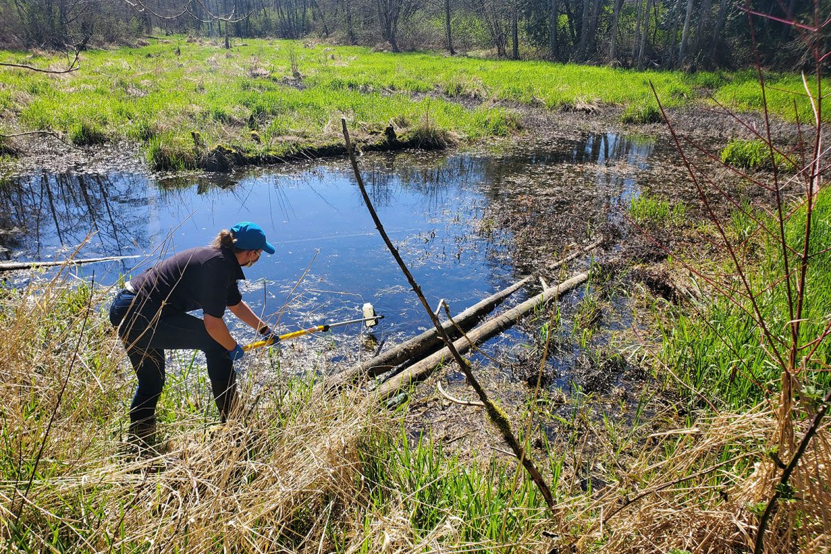
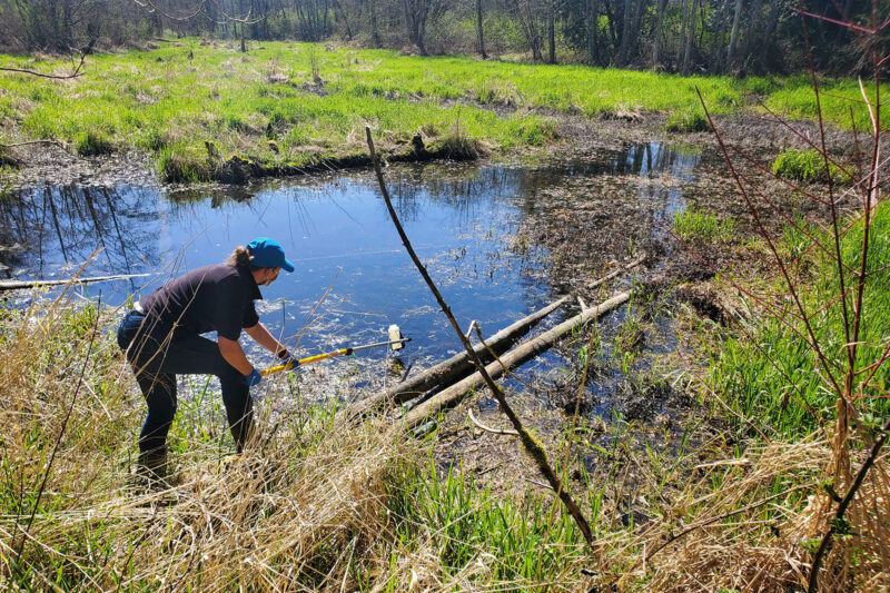
BC Wildlife Federation is collaborating with First Nations and conservation organizations to restore, stabilize, and monitor BC's wetlands. These activities will improve wetland inventories, management, and decision-making. This project will support over 100 jobs and will provide training for workers in Wetlands Ecosystem Enhancement Protocol and Wetland Inventory. (Photo: Langley Environmental Partners Society)
View map of BC's Natural Resource District.
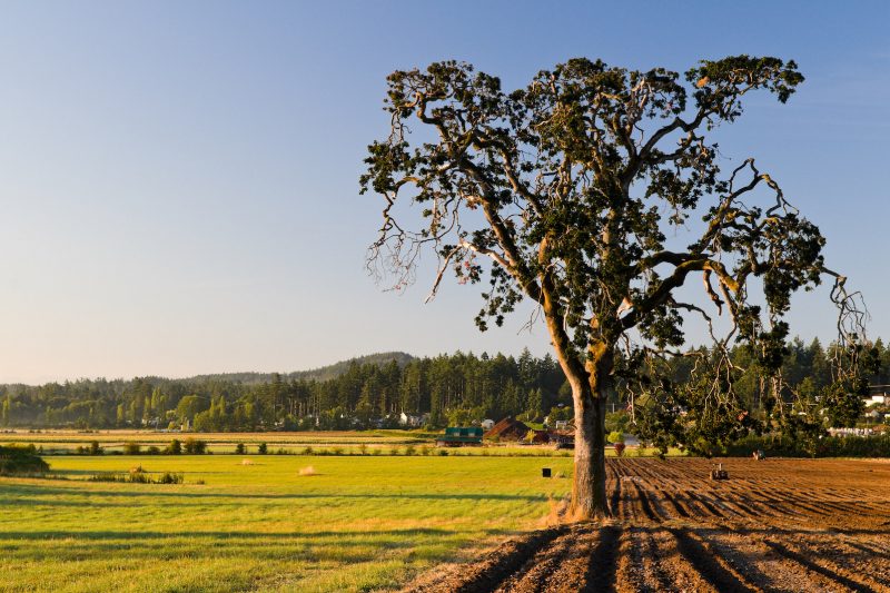
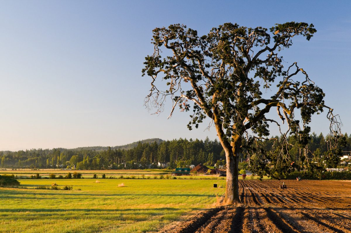
BC Investment Agriculture Foundation is working with farmers and First Nations across the province to protect and preserve critical riparian habitats on agricultural land. The Farmland Advantage program helps farmers identify natural values on their land and provides the tools needed to conserve them. This project will support up to 48 jobs. (Photo: Picture BC / Flickr)
View map of BC's Natural Resource District.
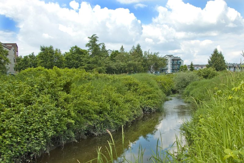
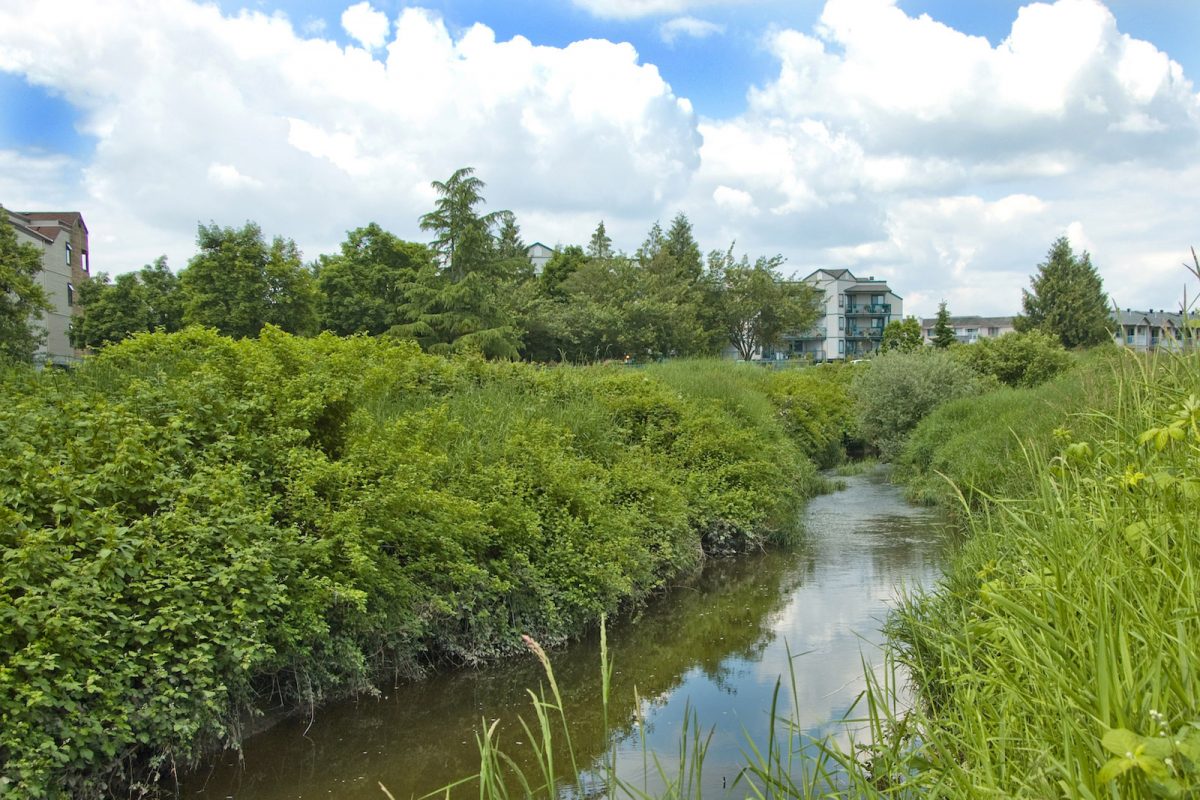
ARDCorp is expanding its water monitoring program to agricultural areas along Bertrand Creek to support the development of a Group Environmental Farm Plan. Environmental Farm Plans help farmers increase efficiency and profitability by implementing more sustainable farming practices. This project will support four jobs. (Photo: Picture BC / Flickr)
View map of BC's Natural Resource District.
The Town of Gibsons is evaluating the conditions and potential risks to natural assets within the Gibsons Aquifer Watershed. By ensuring that natural assets are understood, measured, and managed, this project will support asset management strategies and climate change responses. This project will support nine jobs. (Photo: Unsplash)
View map of BC's Natural Resource District.
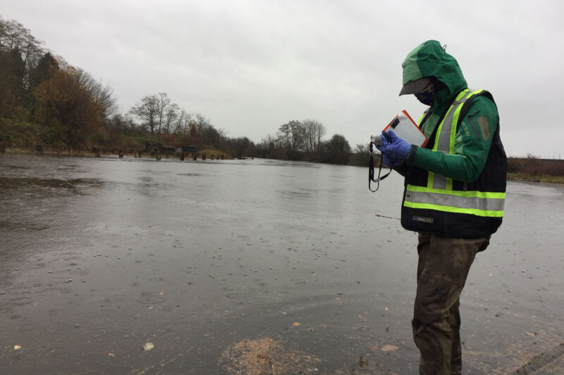
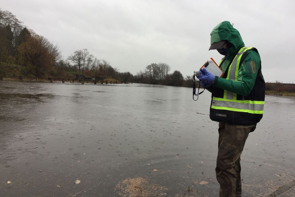
A Rocha Canada is partnering with Semiahmoo First Nation on work towards a long-term goal of restoring water quality in Boundary Bay so the Nation can resume the harvest of shellfish. Activities include identifying contamination sources through water monitoring, convening a roundtable, and developing a water quality action plan. This project supports six jobs. (Photo: A Rocha)
View map of BC's Natural Resource District.
 View Details
Kwikwetlem First Nation is hiring and training four full-time Resource Guardians, who will enforce conservation regulations, restore environmentally compromised sites, and monitor development activities to protect archaeological, environmental, and cultural assets. This project supports 10 jobs. (Photo: Andy Fitzsimon / Unsplash)
View map of BC's Natural Resource District.
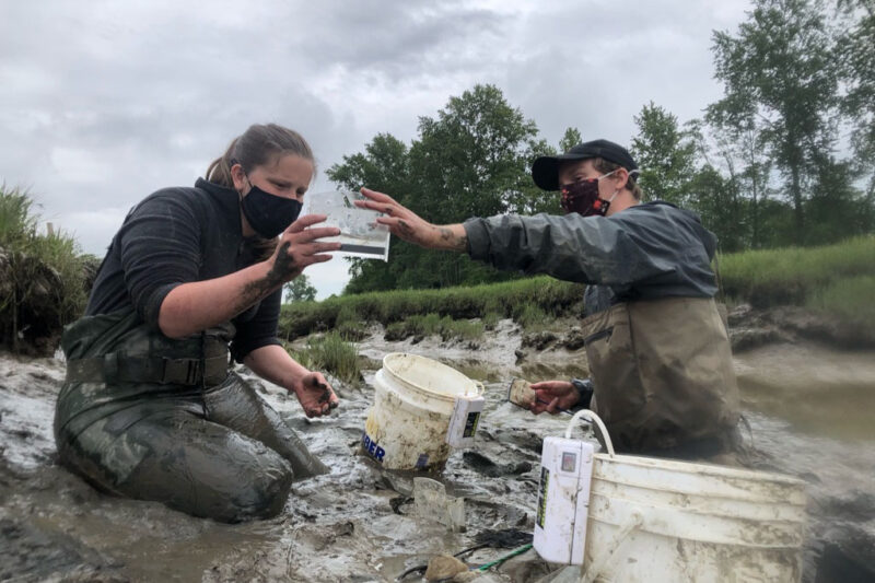
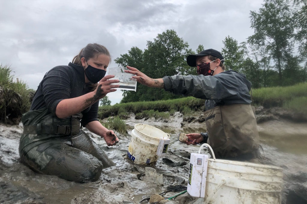
Ducks Unlimited is completing planning and evaluation to restore marsh habitat in Alaksen National Wildlife Area, part of the Fraser River Delta. Planning includes stakeholder engagement on draft project concept, archaeological impact assessment, salmon monitoring, and invasive plant management. This project will support four jobs. (Photo: Ducks Unlimited)
View map of BC's Natural Resource District.


Squamish River Watershed Society, in partnership with Squamish Nation and Fisheries and Oceans Canada, is continuing work on restoring fish passage and access to over 300 hectares of habitat in the Squamish estuary. This project focuses on modifying the lower section of the training berm and installing flow control structures. This project supports 26 jobs. (Photo: Adarshana Thapa / REFBC)
View map of BC's Natural Resource District.
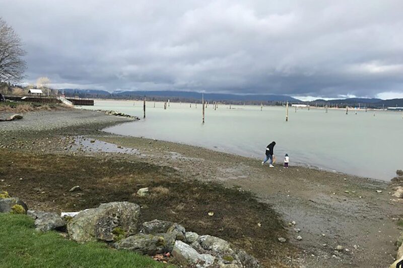
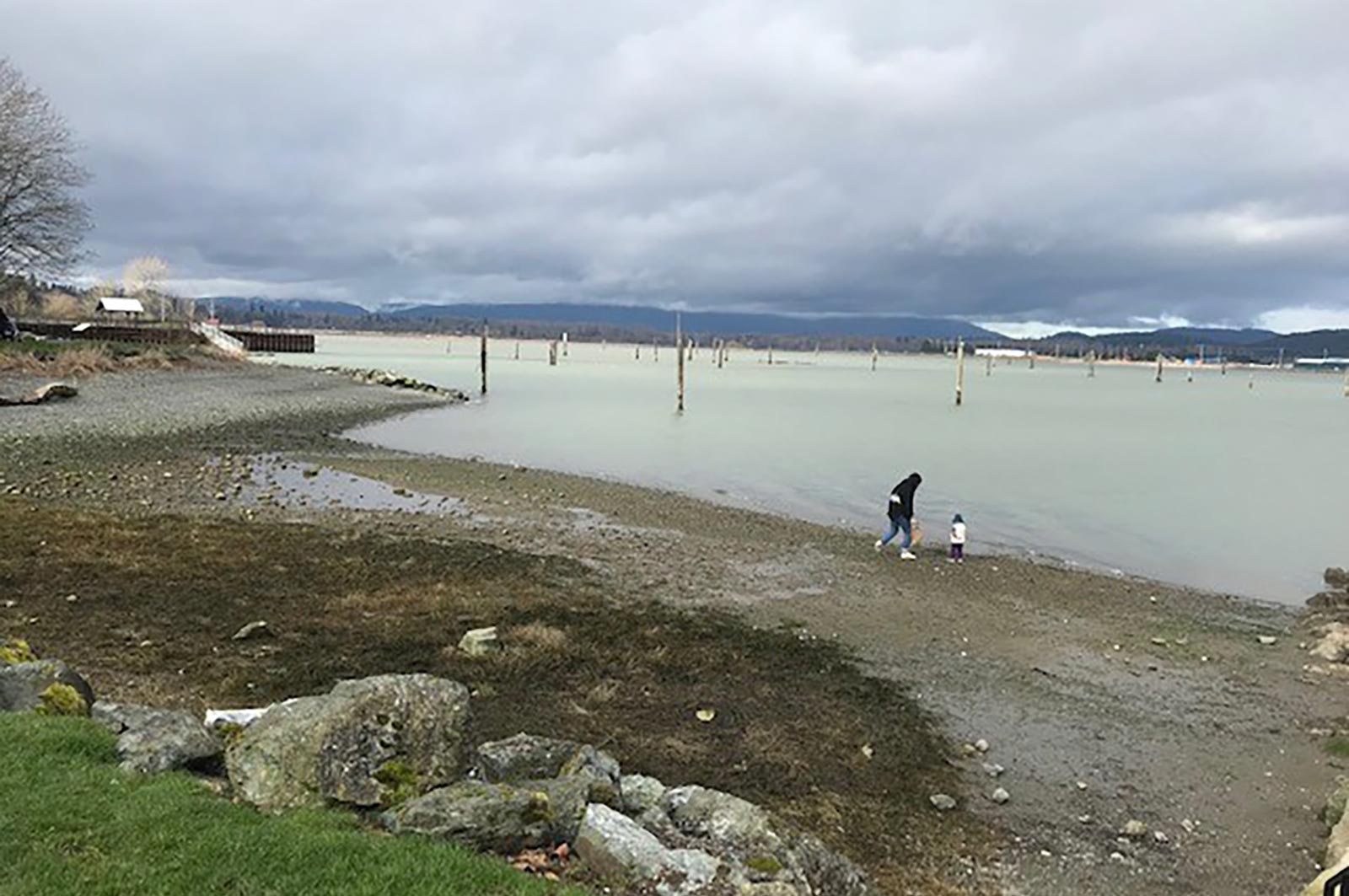
The Sunshine Coast Regional District will work with shíshálh Nation (Sechelt Nation), Skwxú7mesh Úxwumixw (Squamish Nation), community members, and other local governments to develop a Regional Watershed Management Plan. The plan will outline actions needed to protect watersheds within the region. (Photo: Jim McCaughan / REFBC)
View map of BC's Natural Resource District.
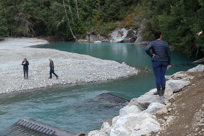
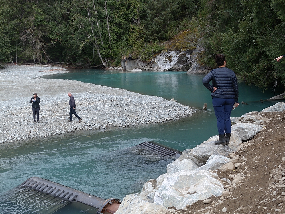
World Wildlife Fund Canada is supporting Katzie First Nation in the next phase of restoration work on four critical salmon habitats in the Upper Pitt watershed. This work includes installing intakes, creating new channels for smolt habitat, reconnecting historical hydrological systems, and constructing bio-berms to protect spawning habitat. This project supports 28 jobs. (Photo: Claire Sauvage-Mar / WatershedsBC)
View map of BC's Natural Resource District.
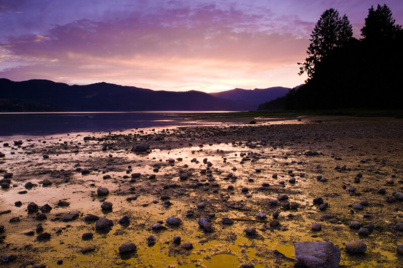
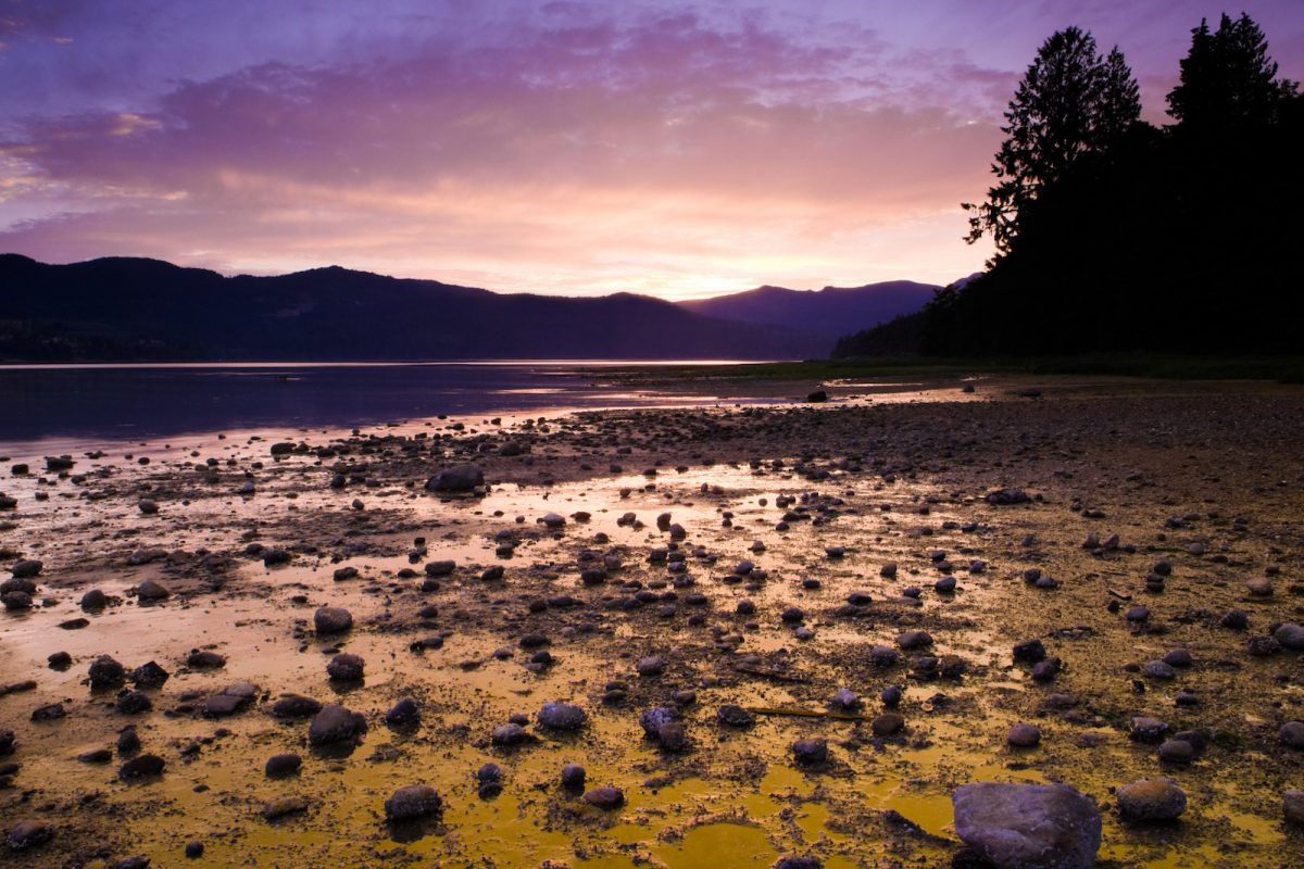
Islands Trust will work with First Nations and community groups to develop and implement a Freshwater Sustainability Strategy to guide resource allocation for freshwater projects. This project, which will support up to 31 jobs, also includes restoration work in protected areas on Salt Spring Island and programming for Indigenous youth. (Photo: Picture BC / Flickr)
View map of BC's Natural Resource District.


Squamish River Watershed Society, in partnership with Squamish Nation and Fisheries and Oceans Canada, is continuing efforts to restore anadromous passage to spawning grounds in the upper Elaho River. This work involves removing any additional obstructions at previously cleared sites and implementing innovative monitoring techniques to assess impact. This phase of the project supports five jobs. (Photo: Adarshana Thapa / REFBC)
View map of BC's Natural Resource District.
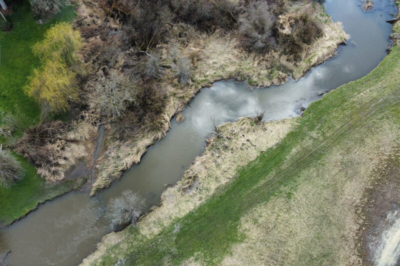
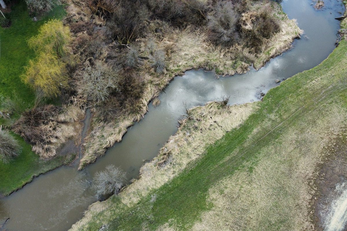
Rivershed Society of BC is piloting the development of a foodland corridor that restores sustainable food systems throughout the Fraser watershed. This project is being implemented in partnership with local First Nations, farmers, and ranchers. (Photo: Nerv Productions)
View map of BC's Natural Resource District.
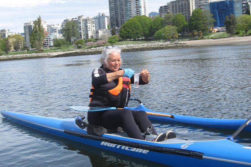
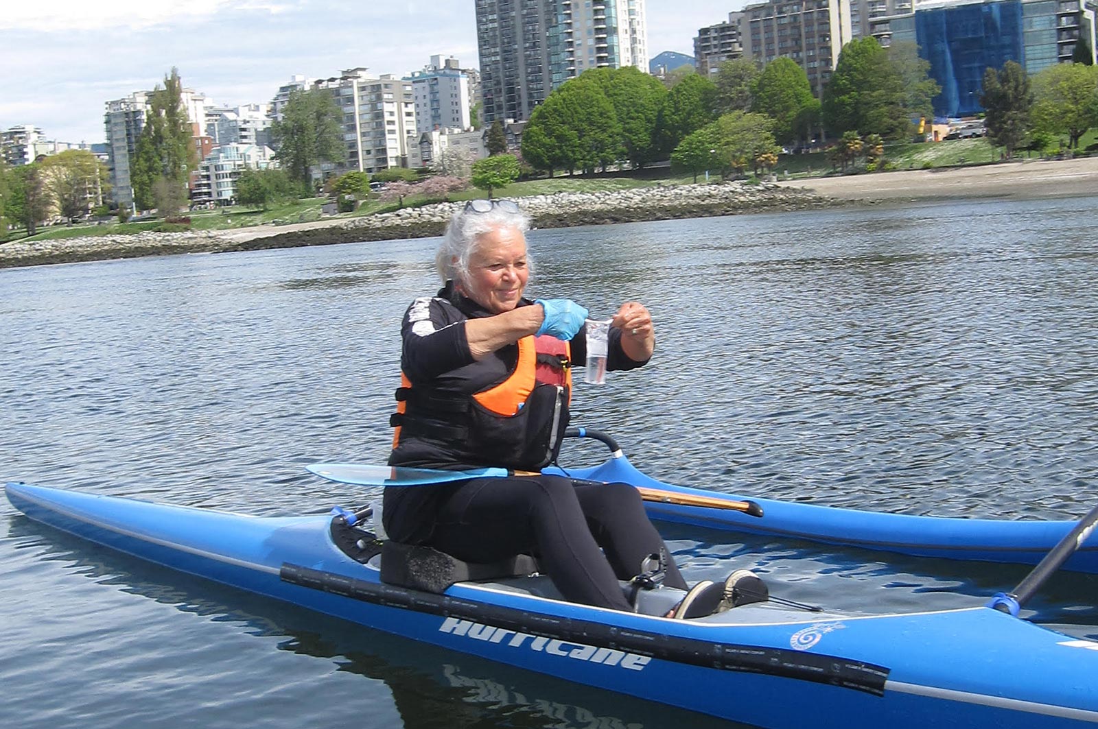
Fraser Riverkeeper Society is partnering with Sea Smart and the Boundary Bay Park Association to expand its recreational water quality monitoring program to Kitsilano Beach and Centennial Beach. Team members will train volunteers on water and environmental sample collection, assess water quality and suitability for recreational use, and share water quality data on Swim Guide. This project, which safeguards community waters and informs future restoration projects, supports five jobs. (Photo: Fraser Riverkeeper)
View map of BC's Natural Resource District.
 View Details
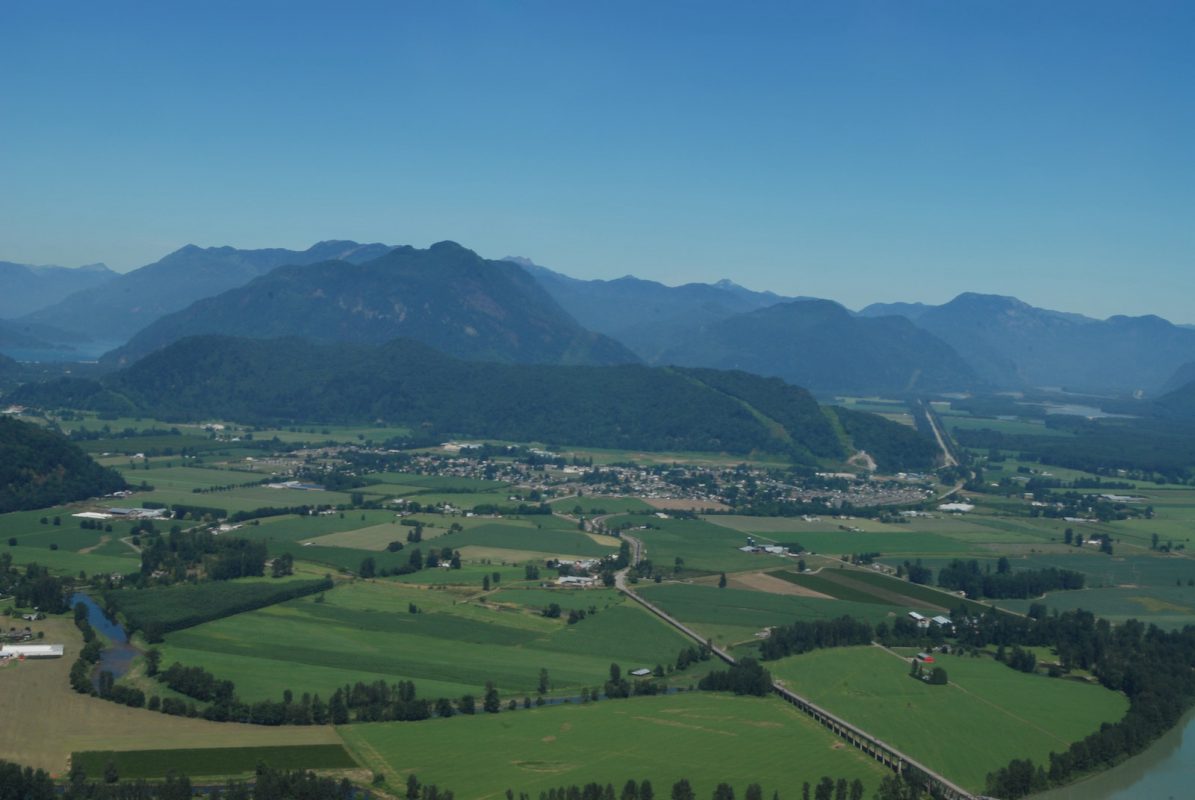
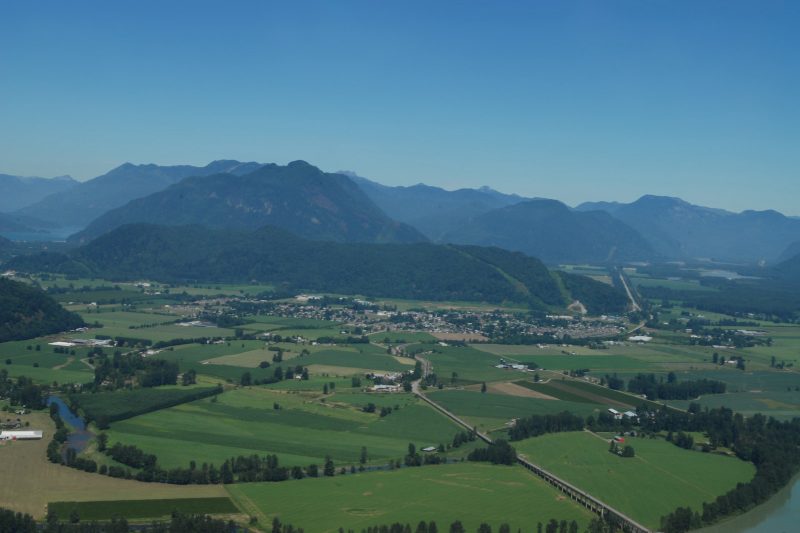
District of Kent is replacing a culvert on the Lower Agassiz slough to open the waterway for fish passage. A new fish-friendly flood gate will make valuable habitat accessible to overwintering juvenile salmon and other fish species. This project will support at least 14 jobs. (Photo: Picture BC / Flickr)
View map of BC's Natural Resource District.