
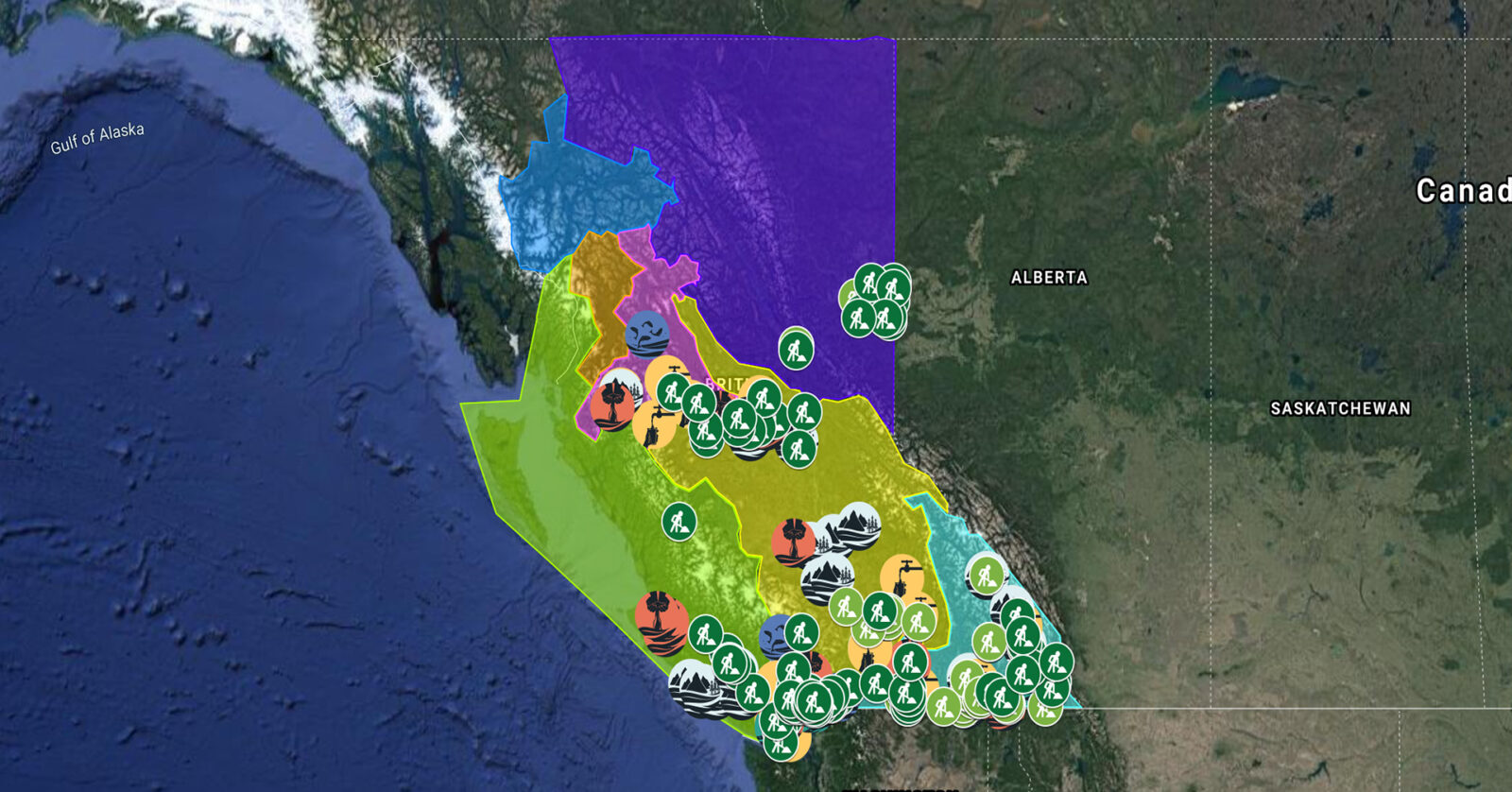
A full list of projects is now available as an interactive map, on Airtable, as a list (pdf), and as a Google Earth map file (kmz).
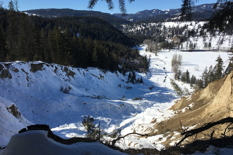
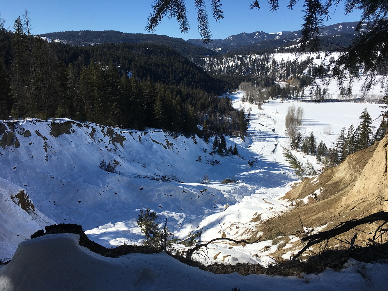
Okanagan Nation Alliance is partnering with the Okanagan Collaborative Conservation Program and the South Okanagan Conservation Program to develop an Okanagan Lake Responsibility Strategy using the nʕawqnwixʷ methodology, a consensus-based decision-making process that prioritizes the participation of Syilx Traditional Ecological and Cultural Knowledge keepers. This project, which supports one job, will engage local stakeholders to identify key issues affecting the security of the watershed and outline direct actions and solutions needed for its protection. (Photo: Okanagan Nation Alliance)
View map of BC's Natural Resource District.
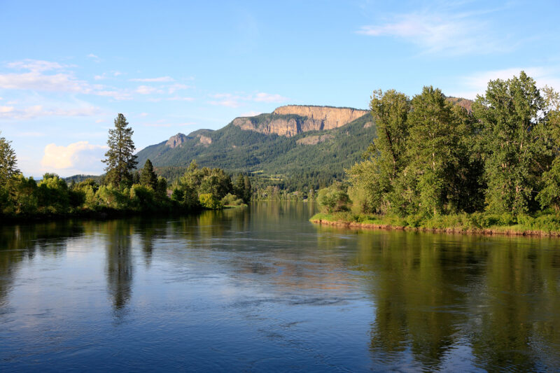
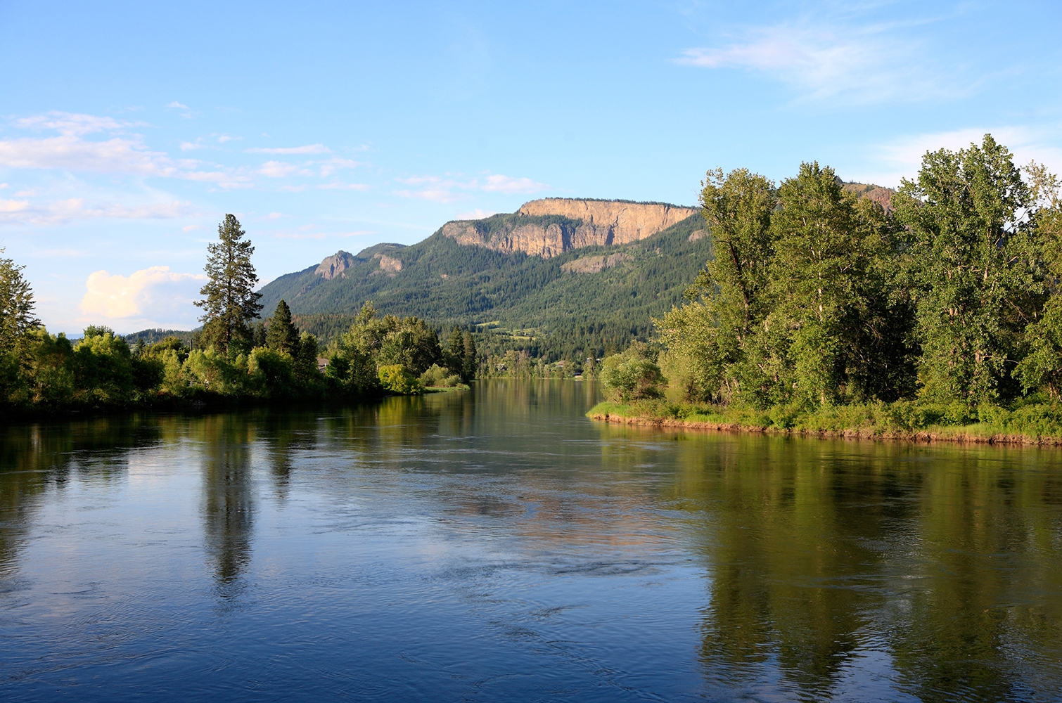
Yucwmenlúcwu (Caretakers of the Land) LLP is using sensitive habitat inventory mapping to establish baseline conditions of the Salmon River. This data will be used to further the long-term goal of reversing the historical trend pertaining to fish habitat degradation marked by lost riparian vegetation, eroding streambanks, high summer temperatures, low water levels, sediment buildup, declining salmon stocks and other issues in the Salmon River. This project supports eight jobs. (Photo: Picture BC / Flickr)
View map of BC's Natural Resource District.
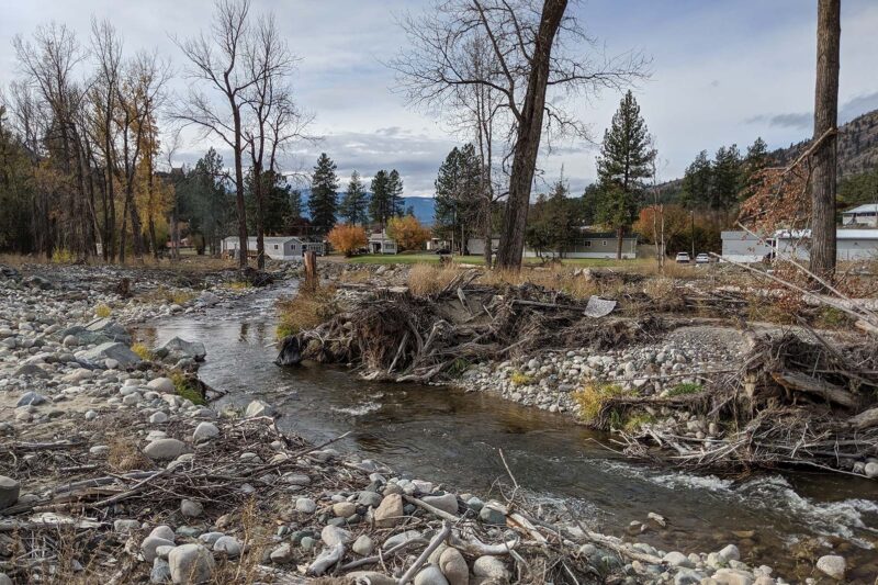
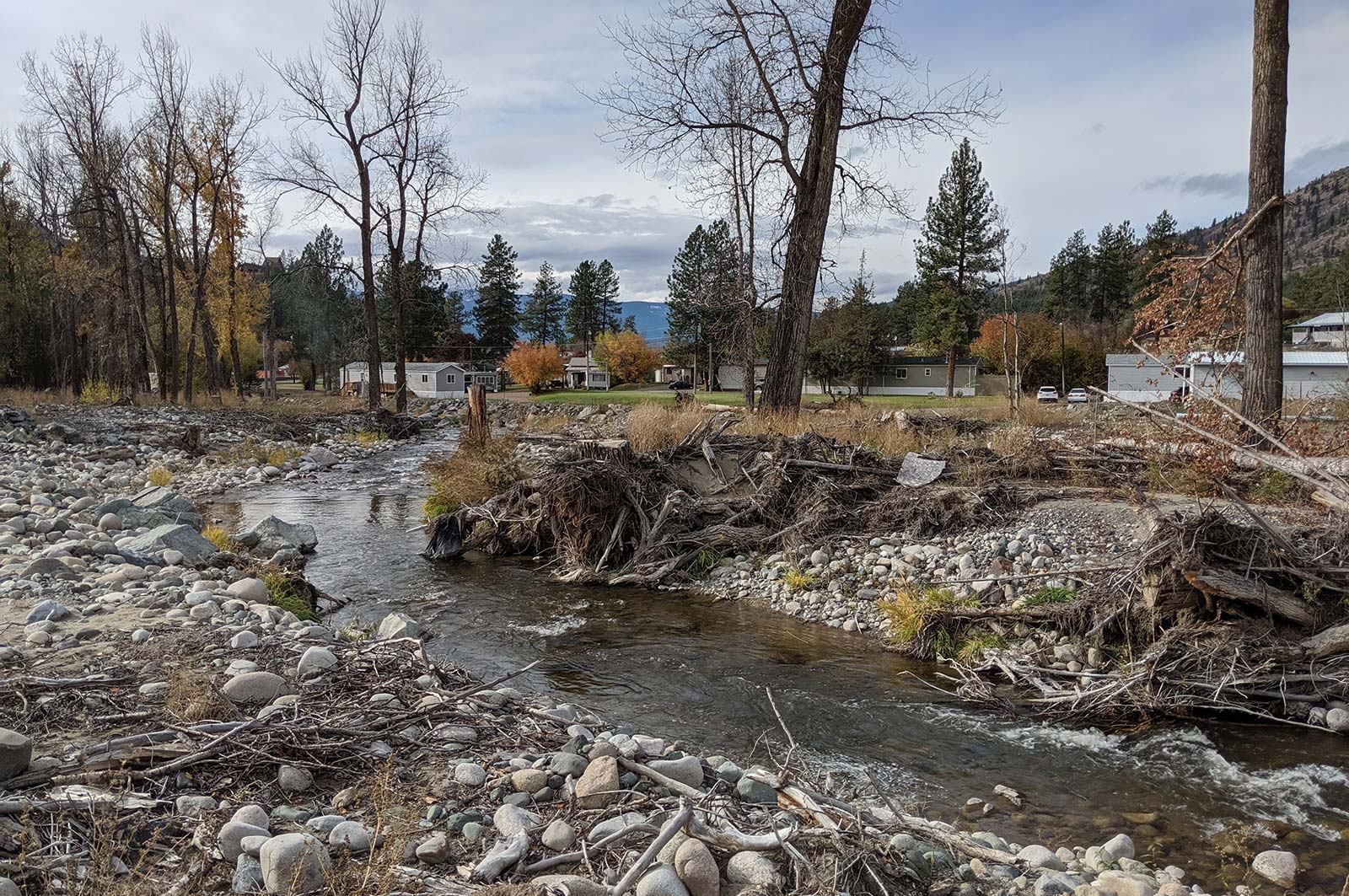
Scw'exmx Tribal Council is conducting water monitoring to track agricultural effluent along the Nicola and Coldwater Rivers. Communities and decision makers will use this data to understand how water quality may be impacted by agricultural activity during the spring freshet. This project will support two jobs. (Photo: Noémi Pomerleau / REFBC)
View map of BC's Natural Resource District.
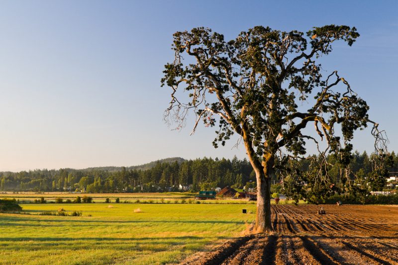
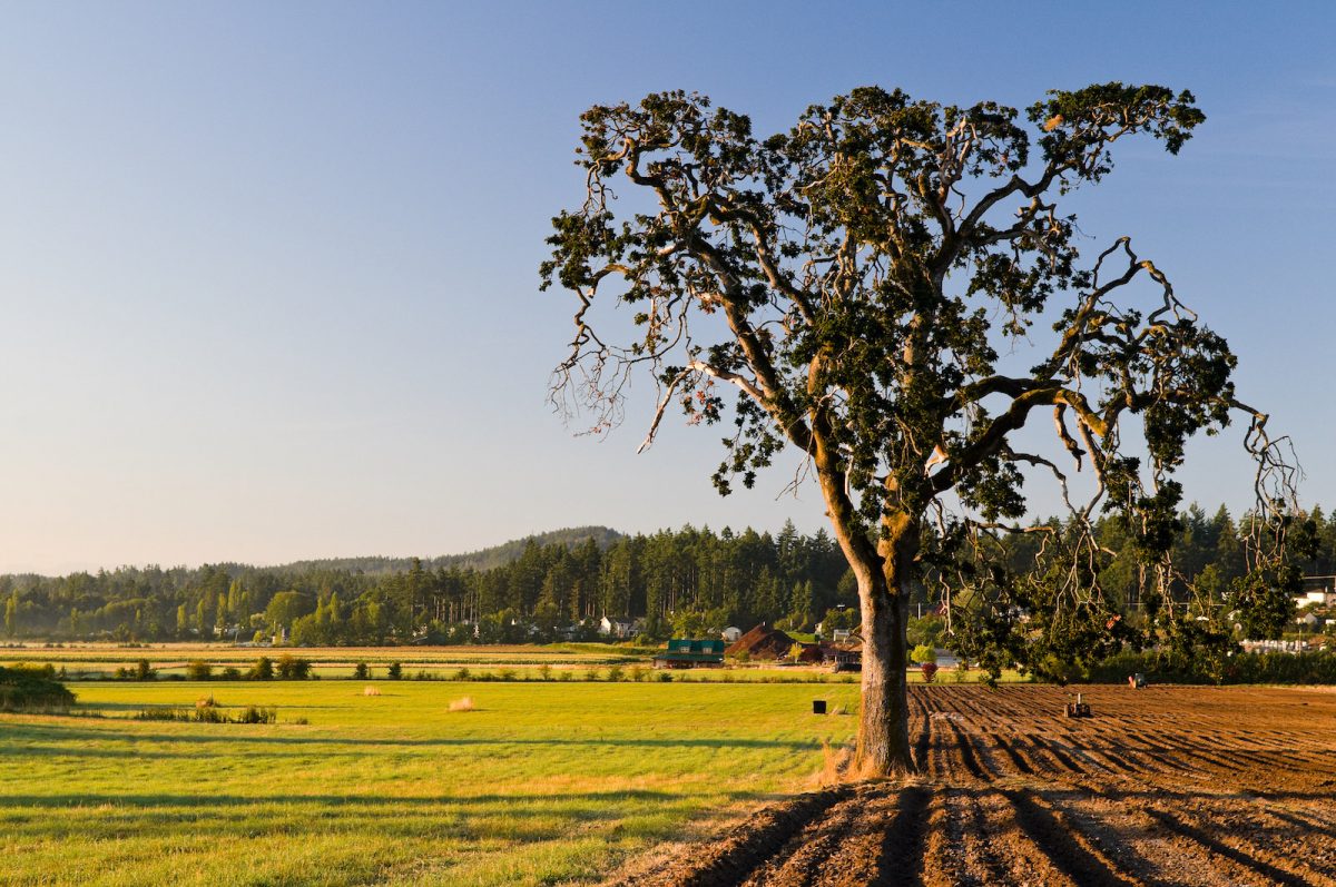
BC Investment Agriculture Foundation is working with farmers and First Nations across the province to protect and preserve critical riparian habitats on agricultural land. The Farmland Advantage program helps farmers identify natural values on their land and provides the tools needed to conserve them. This project will support up to 48 jobs. (Photo: Picture BC / Flickr)
View map of BC's Natural Resource District.
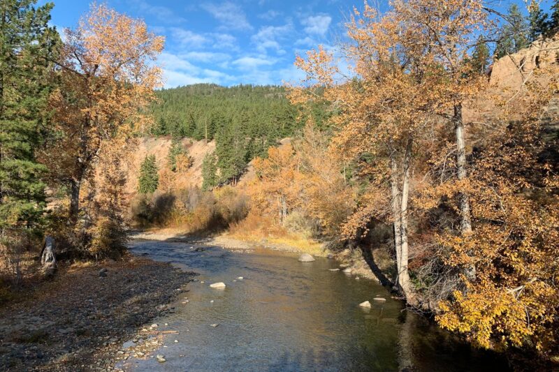
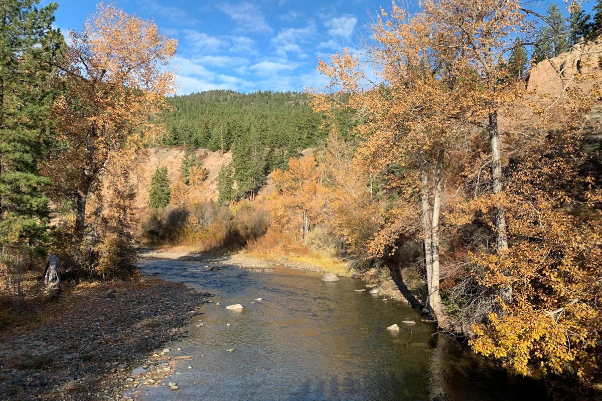
Fraser Basin Council is restoring fish habitat in the Nicola River by stabilizing sediment wedges impacted by flooding and building beaver dam analogues to moderate water flows and temperature. This project, which supports 11 jobs, complements the work underway by the Scw’exmx Tribal Council and Nicola Watershed Governance Project. (Photo: Stephanie Butler / REFBC)
View map of BC's Natural Resource District.
 View Details
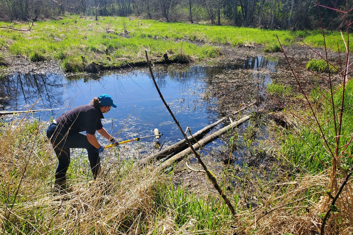
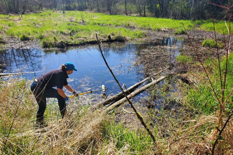
BC Wildlife Federation is collaborating with First Nations and conservation organizations to restore, stabilize, and monitor BC's wetlands. These activities will improve wetland inventories, management, and decision-making. This project will support over 100 jobs and will provide training for workers in Wetlands Ecosystem Enhancement Protocol and Wetland Inventory. (Photo: Langley Environmental Partners Society)
View map of BC's Natural Resource District.
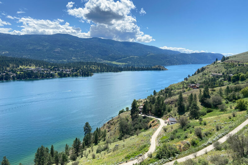
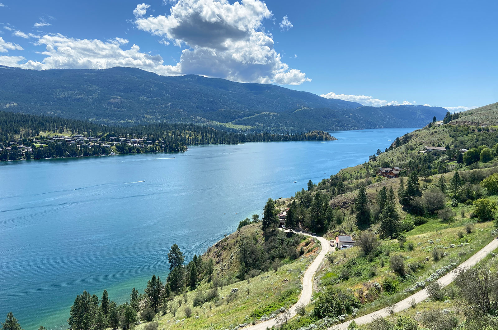
Okanagan Basin Water Board is collaborating with Indigenous, municipal, and provincial governments to develop and pilot a source water protection toolkit in the Okanagan. They are also working with En’owkin Centre ECOmmunity Department (Penticton Indian Band) to restore a portion of the k’əmcnitkw floodplain. This project, which supports 14 jobs, is part of a long-term strategy to equip communities with the tools to protect their drinking water by engaging them in restoration work and building awareness of water conservation. (Photo: Adarshana Thapa / REFBC)
View map of BC's Natural Resource District.